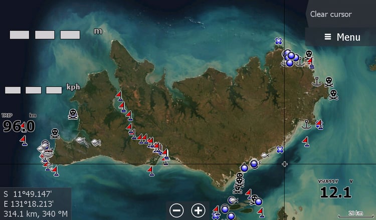


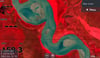


Alligator Rivers Low Tide Map 2026
Finally " The Alligator Rivers" East, South, West, & Wildman River at a reasonable low tide for 2026.
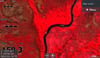
This is the First ever Low Tide map for the region. Every other ideal Low Tide Map opportunity has been in the Afternoon when the satellite is not about or at Night, or under cloud for the past 5 years.
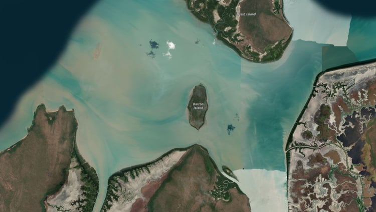
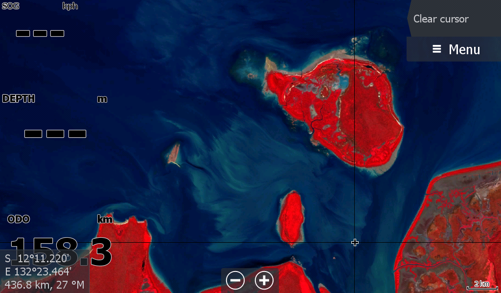
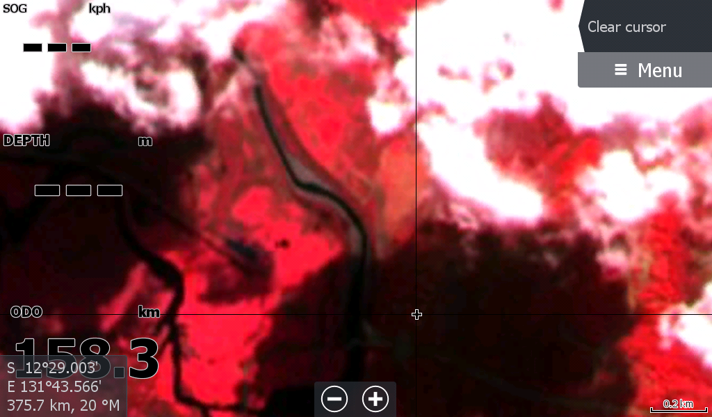
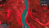
As a bonus , I've included the coast to Tommy Cut & the cloud covered Sampan Creek to the Boat Ramp ( The extent of the satellite Imagery)
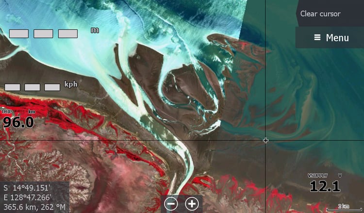
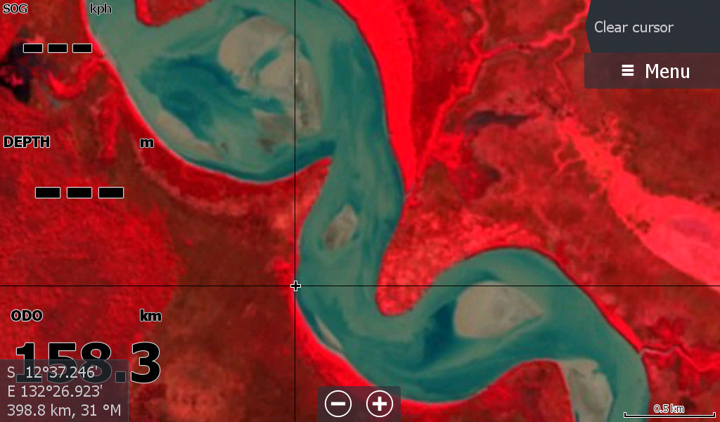
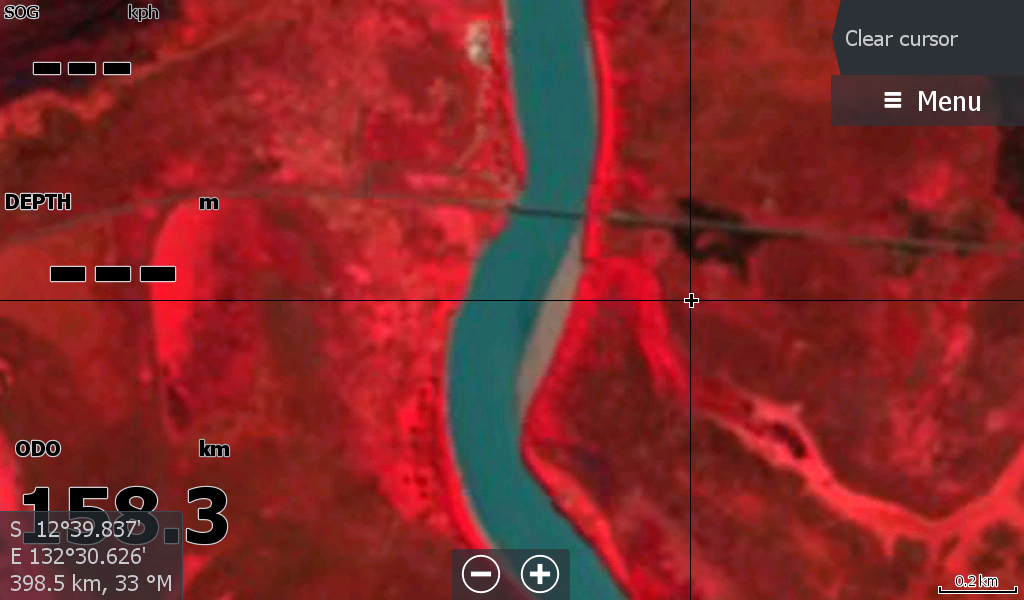
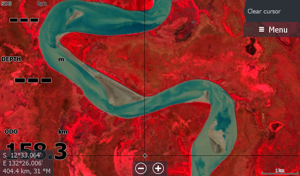
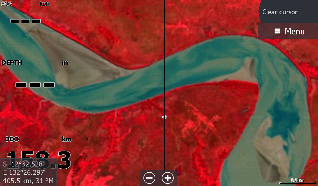
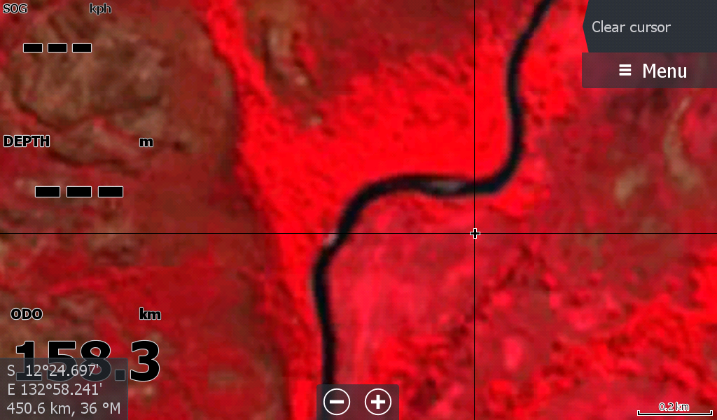
As with all long rivers, not all of it is low tide. There appears no difference with Wildman & West Alligator as no sandbars are visible.
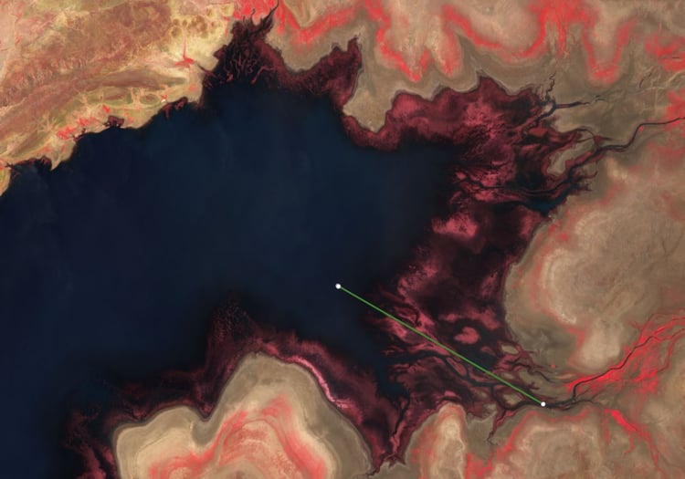
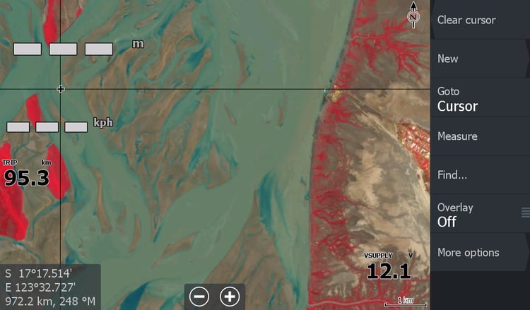
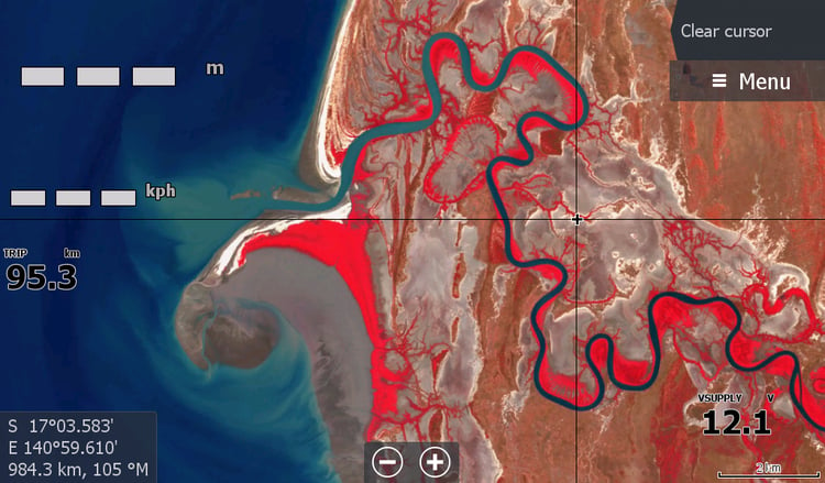
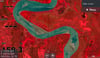
The images are mixed , mainly the South & East Alligators that show many sandbars, but also show a mix of sandy water, that may or may not have hidden sandbars. The Red filter differentiates the sand from the sandy waters, but if the sandbar is 1cm below the water it will look like water in the murkiness. There are a few random clouds & shadows & smoke from fires hindering a clear view, but 95% of the river is visible & just having this map available is quite unreal.
I hope these sandbars do not move for many years as it may be quite a while before it will ever have an update.
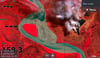
The Rock bar up from the East Alligator ramp is visible but due to the poor resolution of the satellite it looks a bit tricky zoomed in, but most would be aware of it.
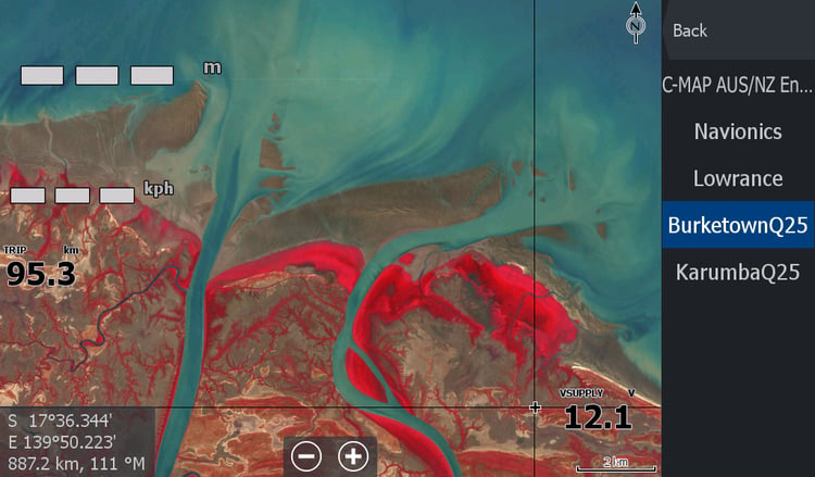
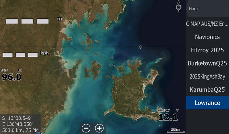
This map goes hand in hand with the Alligators General satellite map, so you can flip between them getting a better resolution of your surrounds when not in sandbar country.