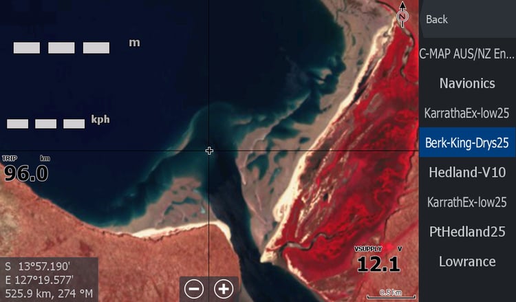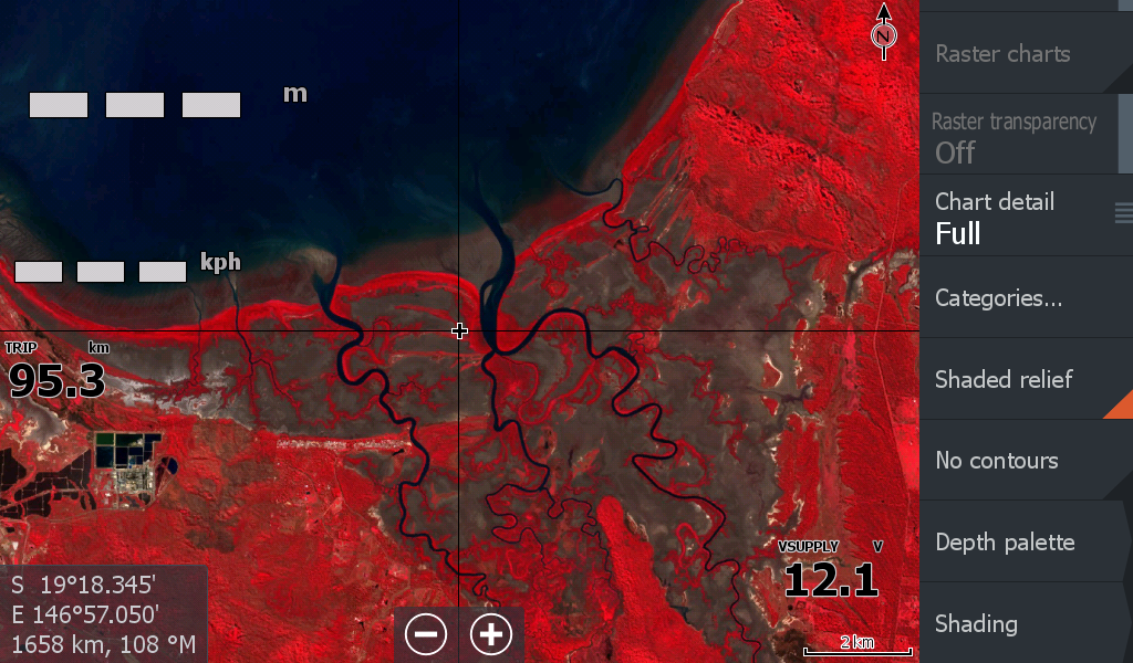
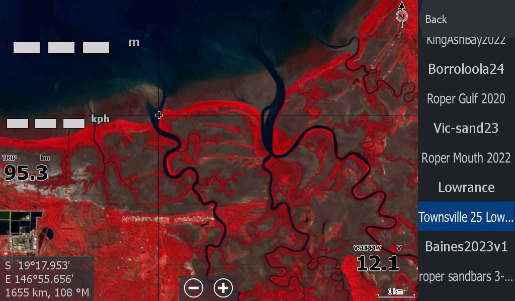
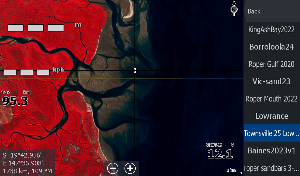
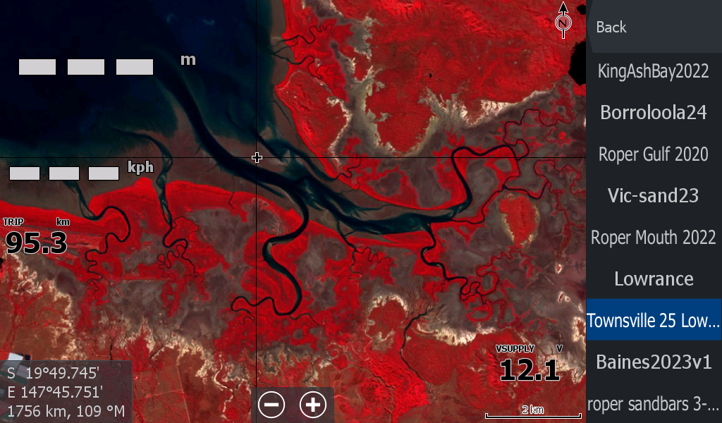
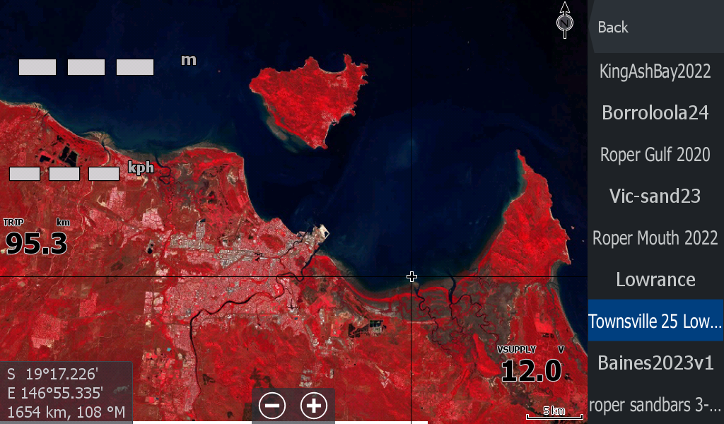


Townsville Low Tide Map 2025
On Sale
A$15.00
A$15.00
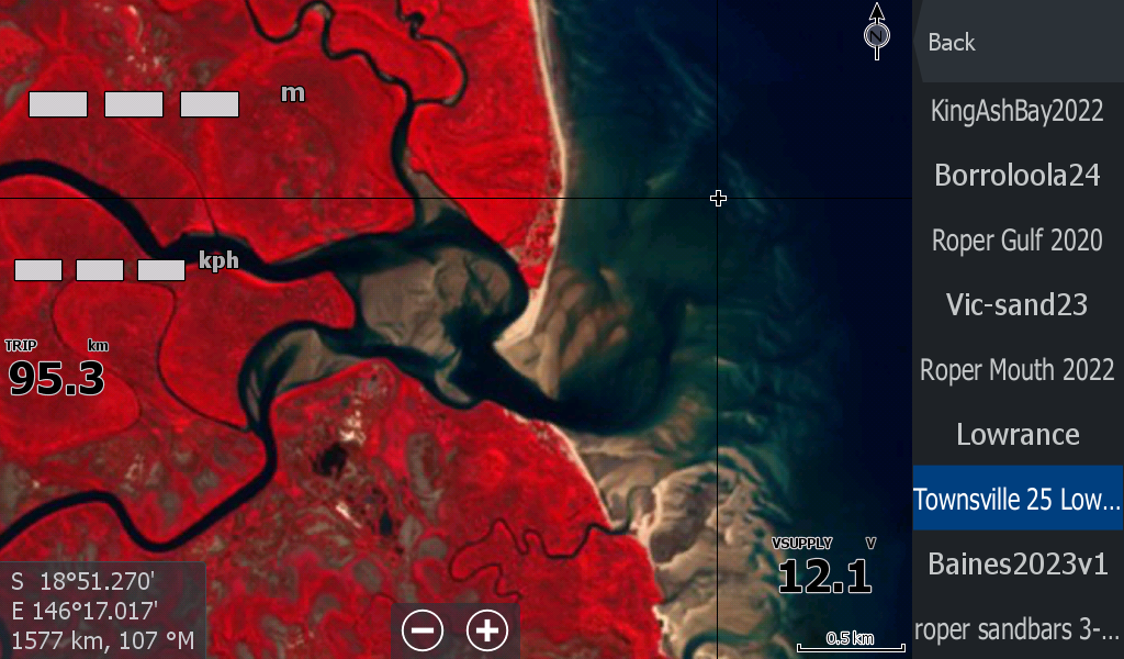
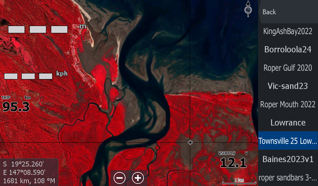
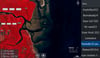
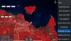
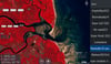
Townsville Queensland Low Tide map 2025.
The map covers a large area from the South ( Milne Island, Cape Upstart) to North of Townsville ( Halifax Bay Wetlands) .
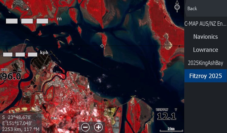
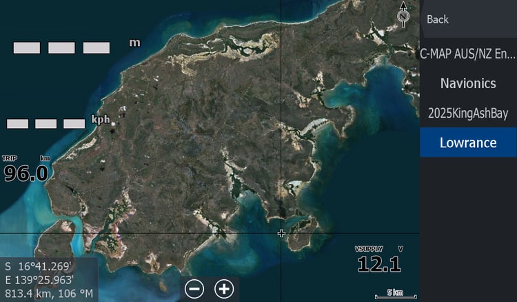
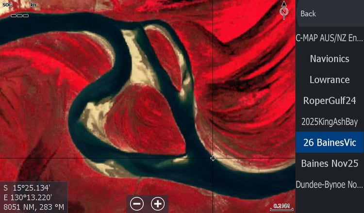
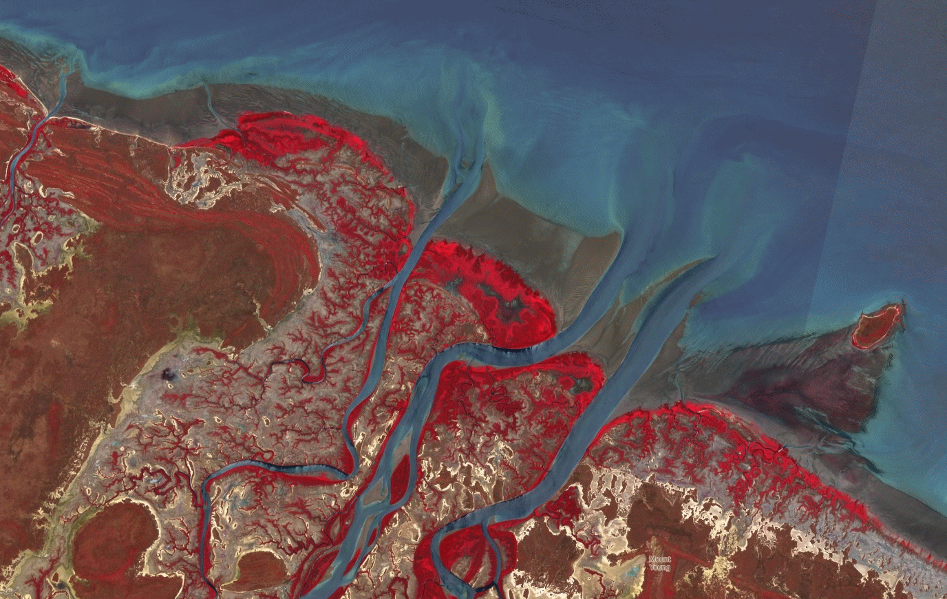
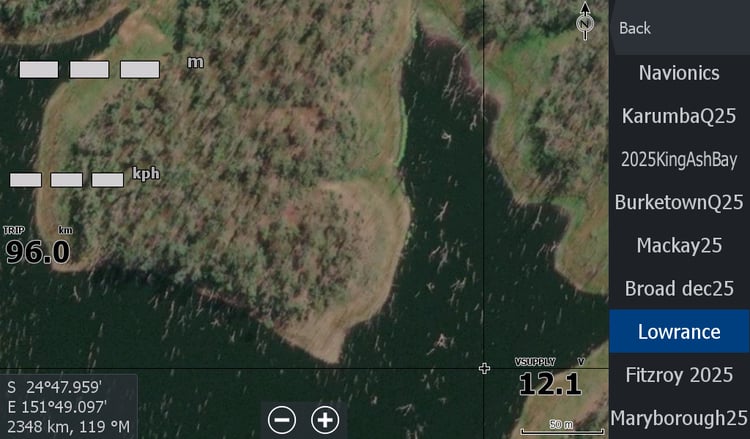
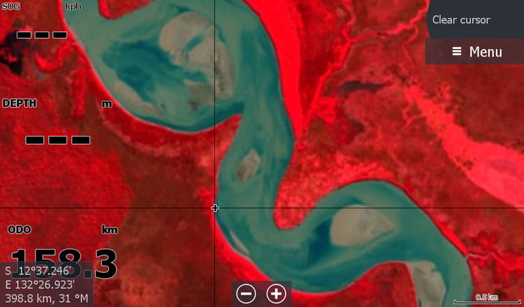
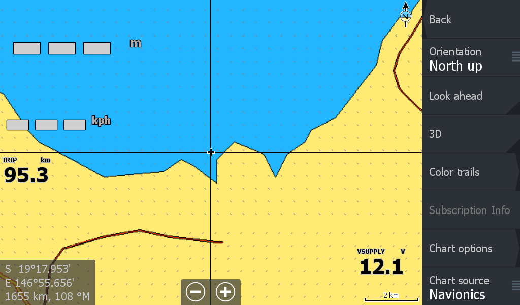
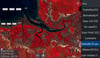
I really did think the coast was covered by the maps built in to the Chart plotter, but have a comparison image above.
Creeks & rivers included, Crocodile creek, alligator creek cocoa creek, Doughboy creek boatramp, Haughton River, Barramundi Creek, Barratta Creek, Burdekin River.