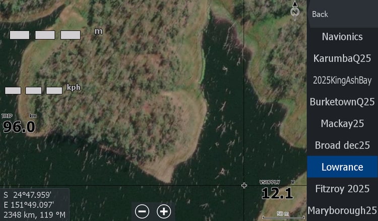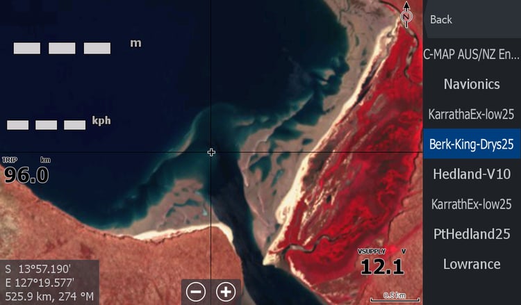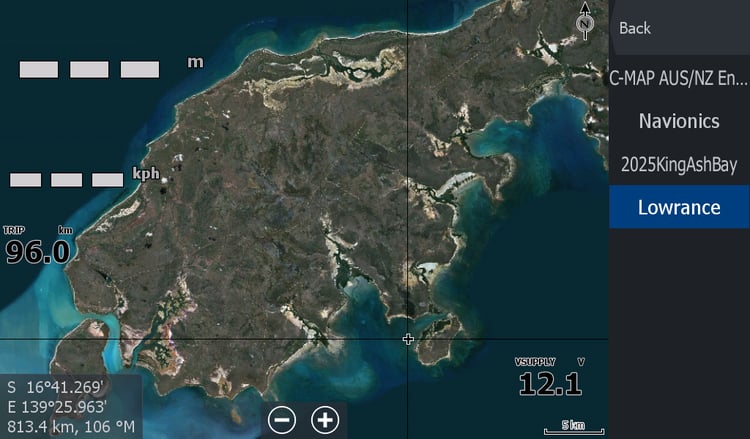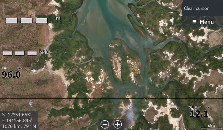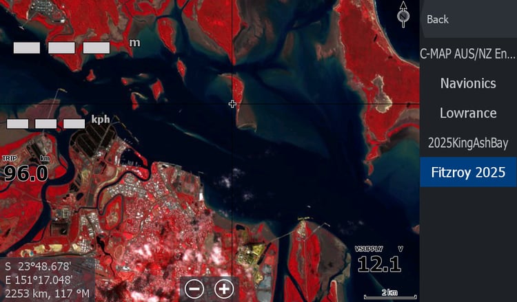


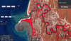

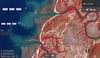

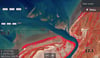

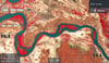
Karumba Qld Low Tide Map 2025
On Sale
A$15.00
A$15.00
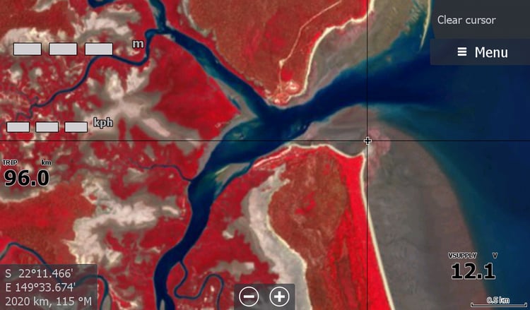
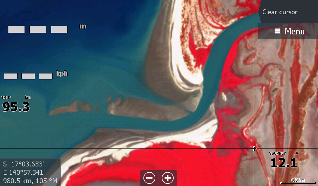
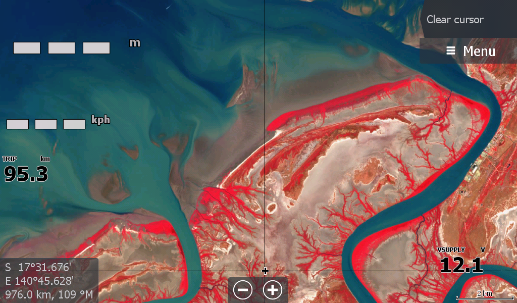
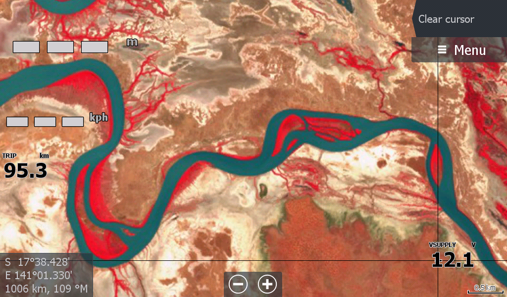
Karumba & Normanton Queensland Low Tide map.
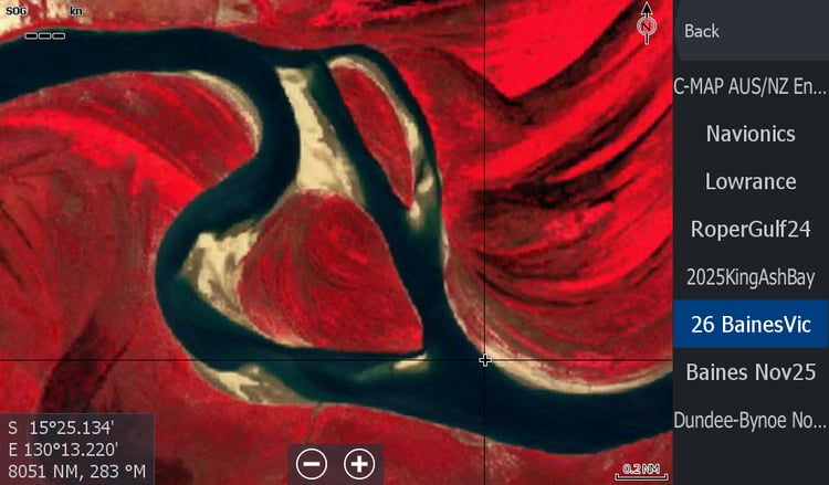
This is a larger than normal map for low tides as I didn't know when to stop the Northerly River coverage
South to Bynoe & Flinders River.
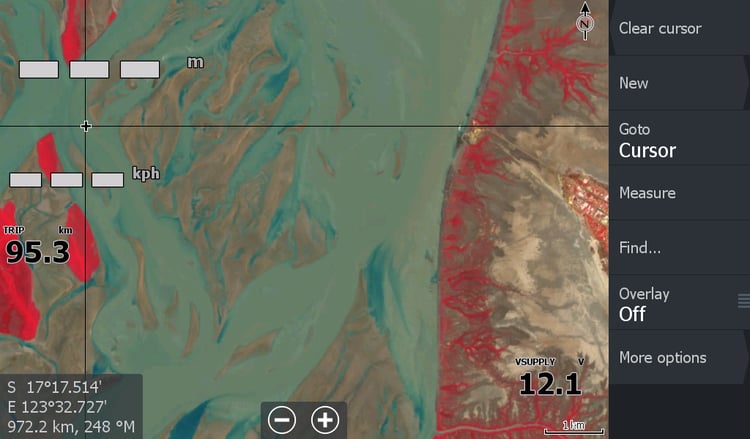
I would say this map would go hand in hand with the Burketown Low Tide map giving you a good arc of coverage from Karumba & Burketown.
*2026 edit* With the vast amount of water pumping through the Gulf Country in February 2026 some of these sandbars may have moved & it may be months before there is a half decent map for us to compare against. So go gently.