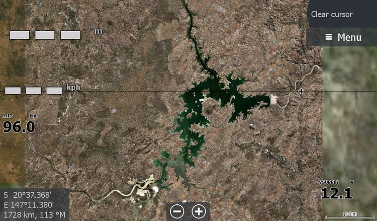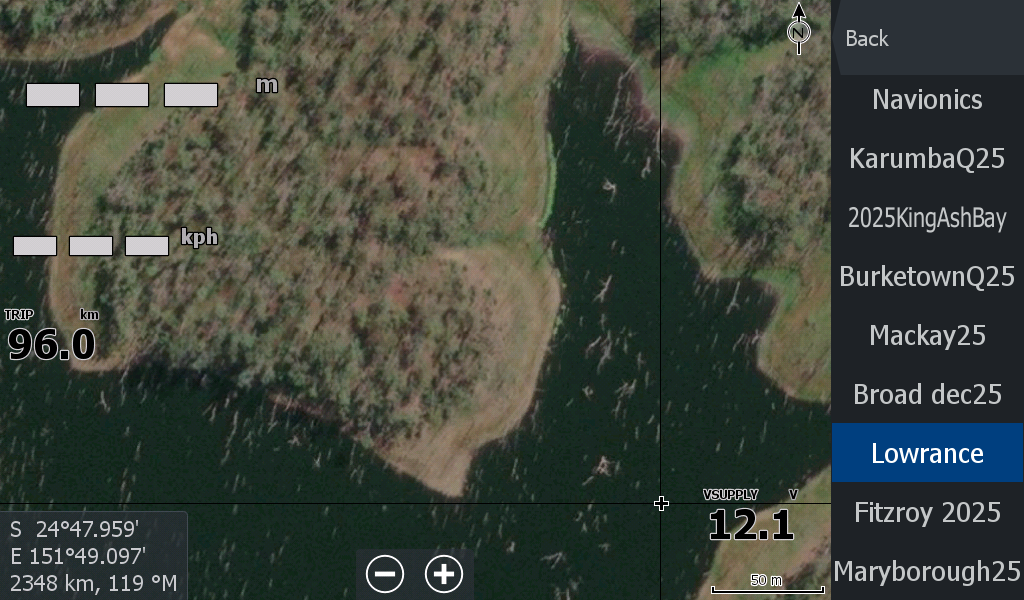
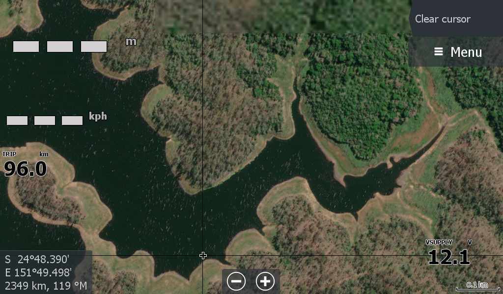
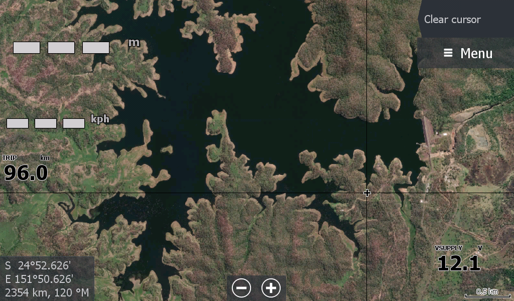
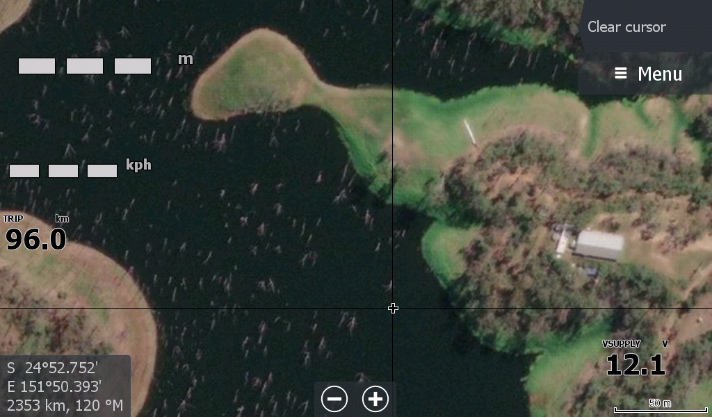
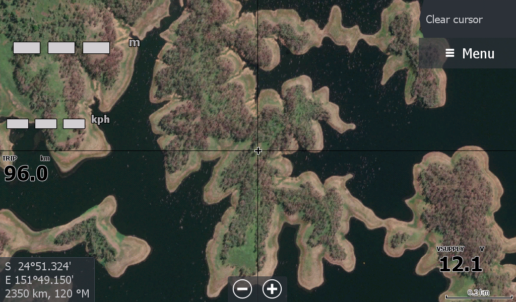

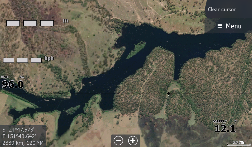


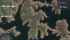
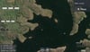
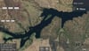
Lake Monduran Dam Qld Satellite Imagery
On Sale
A$15.00
A$15.00
Lake Monduran Dam Qld
One of Bundaberg Regions most Iconic Barramundi Fishing Locations.
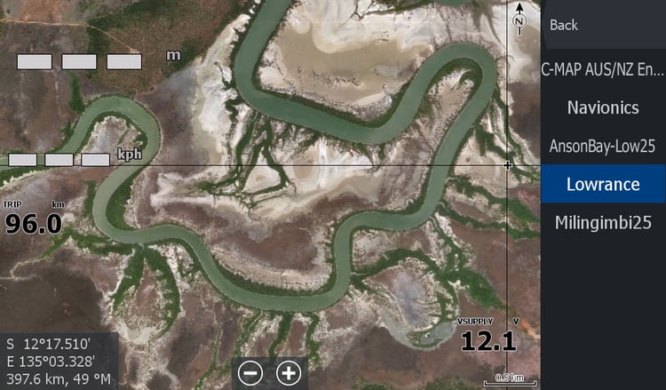
Now you can navigate this Lake on your Lowrance chart plotter.
The chosen map was a lower water level than you currently have in the dam so you can see more land structure underneath where you fish.
Don't forget to follow us on facebook to keep up to date with the latest maps for Estuary fishers across the Top End of Australia