

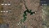


Dalrymple Lake satellite Map - Townsville Qld
Dalrymple Lake Map (Burdekin Dam) - Satellite Imagery
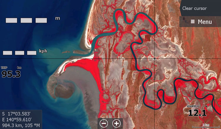
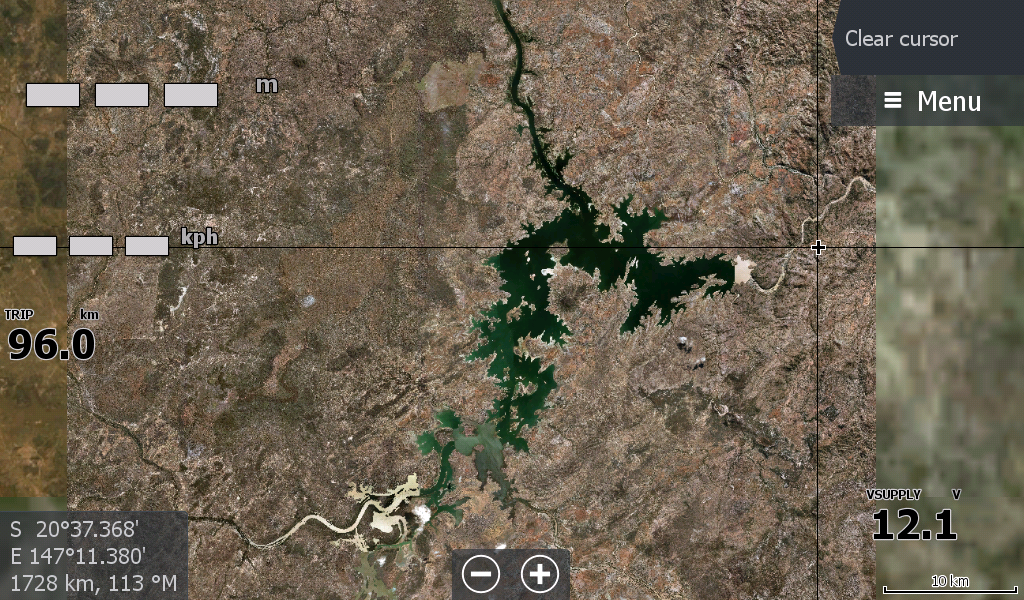
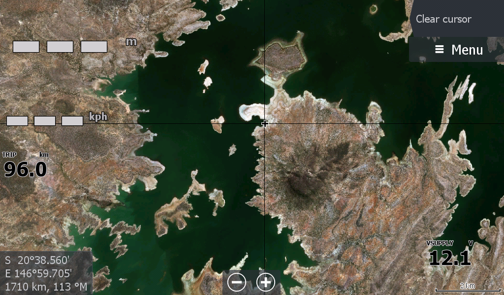
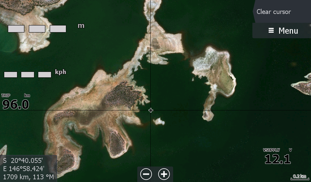
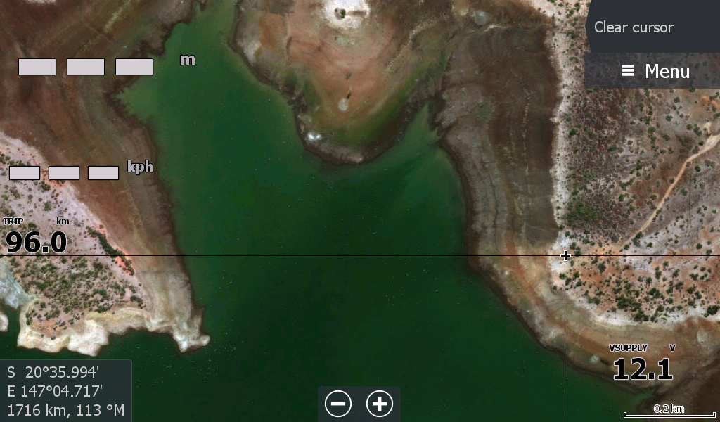
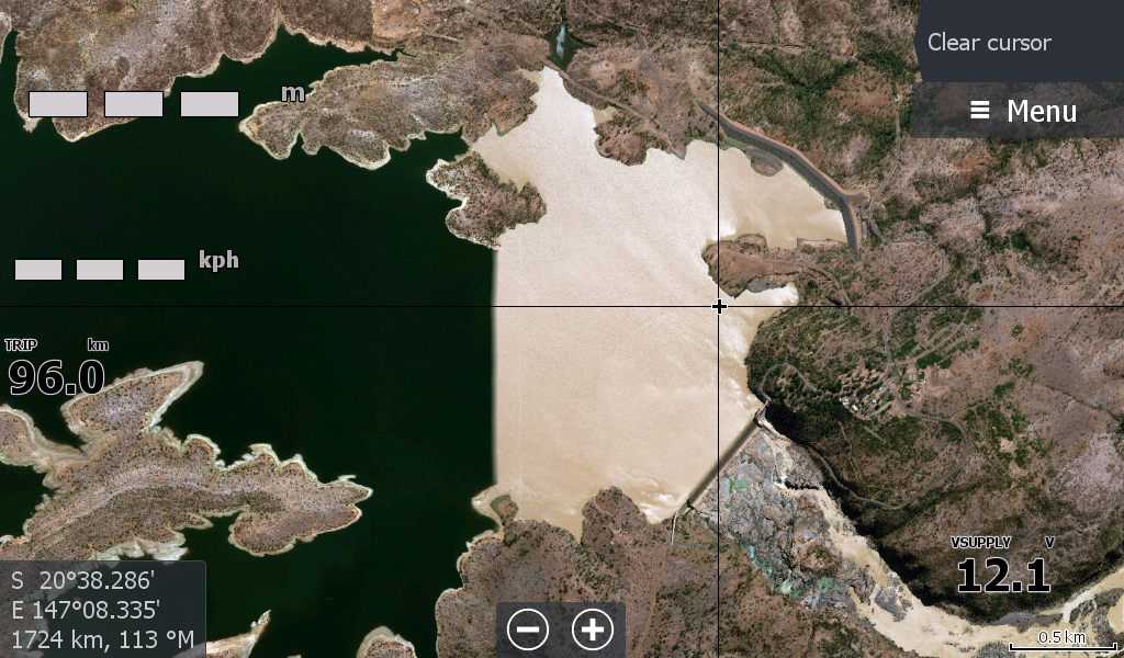
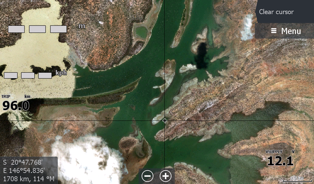
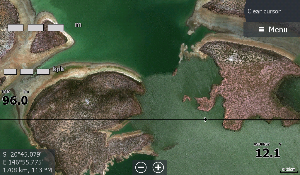
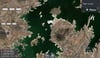
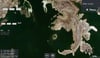
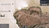
The Dalrymple Lake Map is an image captured when the lake water levels were low. This allow fishermen to see the structures below and potentially great barra hiding spots/snags.
.
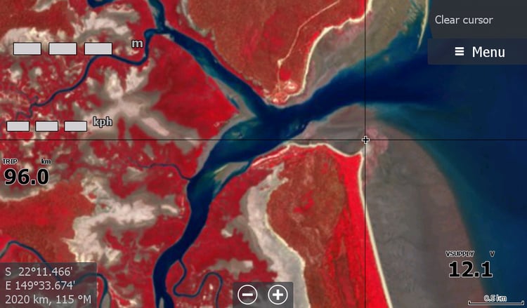
Depending on current water levels at the Lake, the Lowrance Chart Plotter could display some landmass in areas that you will be boating over.
The Dalrymple Lake Map could be just what you need to give you a better chance of landing that metery.
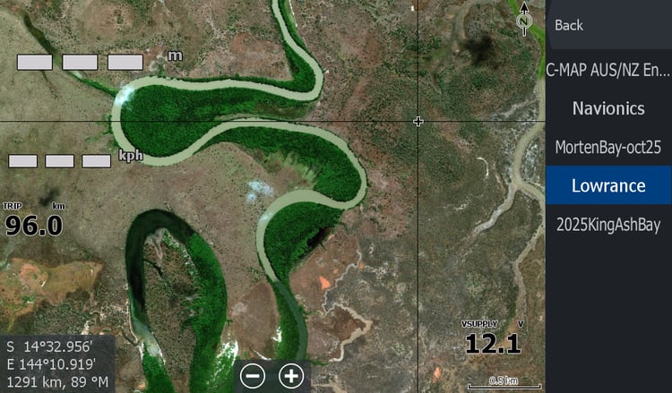
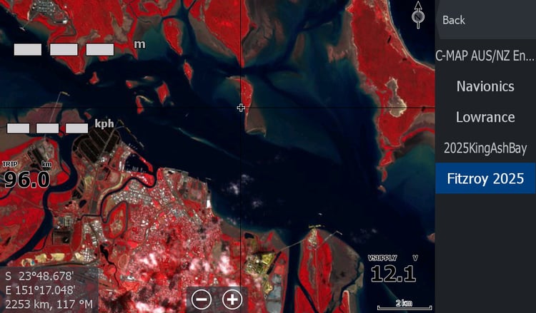
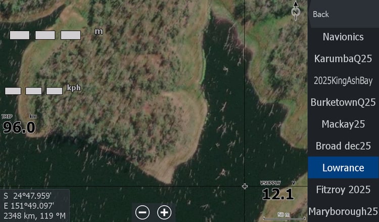
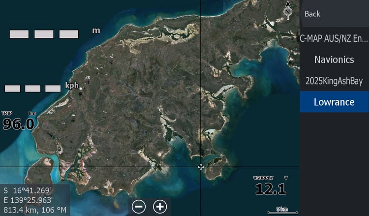
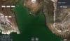
Once the Dalrymple Lake Map is loaded in your Lowrance Chart Plotter, the Map will appear under the Lowrance tab and not be individually listed.
To activate the Map on your Lowrance Chart Plotter, you will need to go to shaded relief options and re-tick the "shaded relief" tab once you are zoomed in on the dam location or on site at the dam.
A full tutorial is available on topendmaps.com