
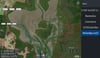
Moreton Bay Brisbane Low Tide Map 25
Moreton Bay Brisbane Qld - Low Tide Map October 2025
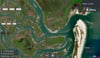
From Caloundra to Bribie Island South / inc Tweed Heads
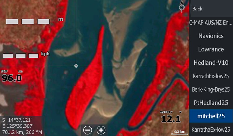
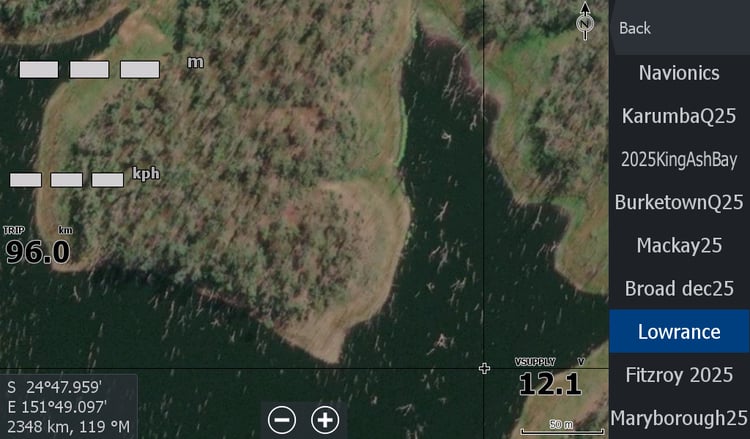
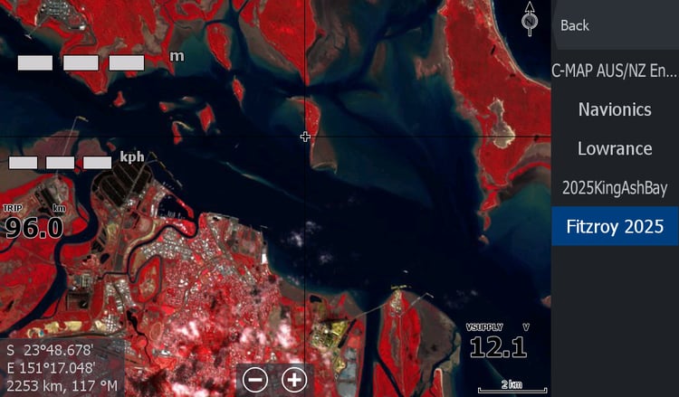
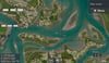
You can have a bit of colour in your Lowrance Chart plotter for $15
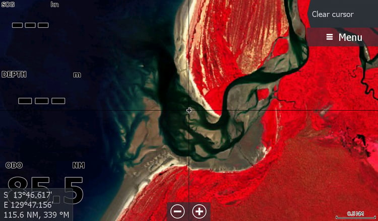
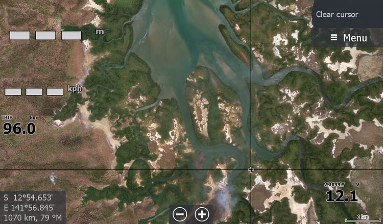
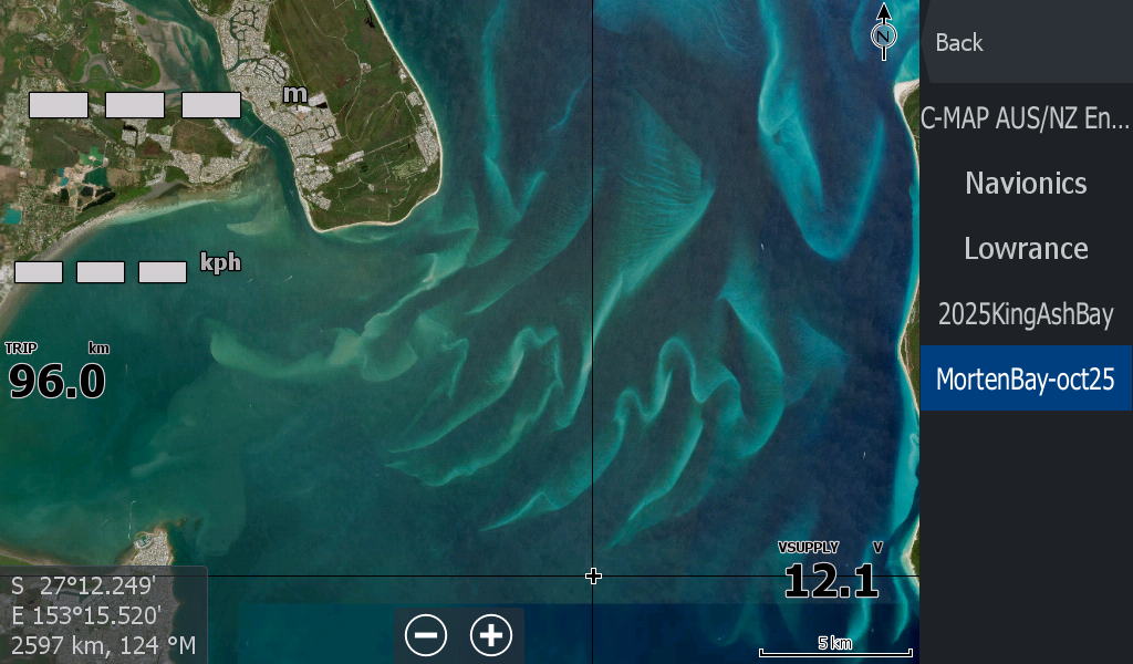
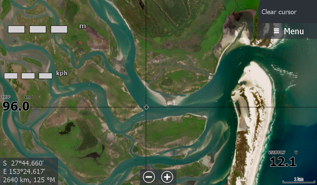
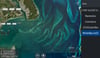
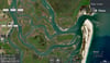
The low tide maps are a low resolution map that are no where near as detailed as the C-Map. However there are some interesting differences with the massive array of white sandbars at the Amity Point entry to the Bay that some boaters may find useful. This area in the Bay is over 100 kilometres square and there are those who cut across the various passages.
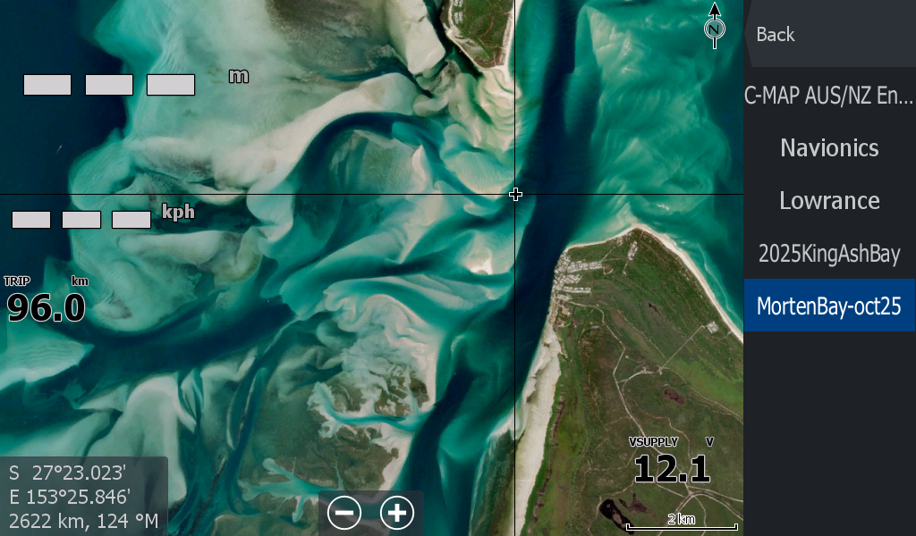
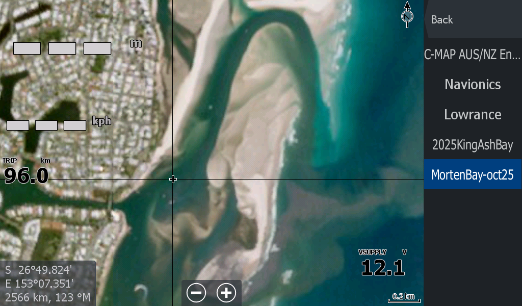
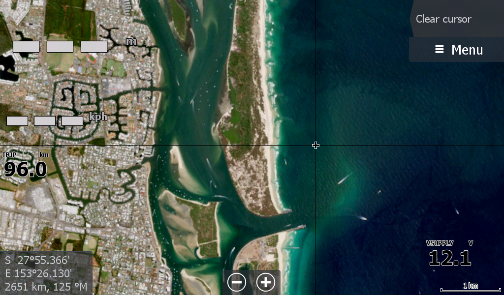
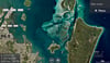
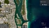
With Imagery from September 2025 ( Bribie Island) & the rest of Moreton Bay October 2025, this is a fairly up to date map. It was tricky locating a satellite image free of cloud at low tide.
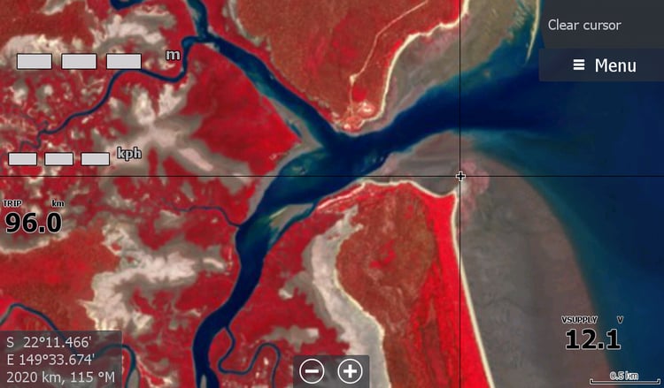
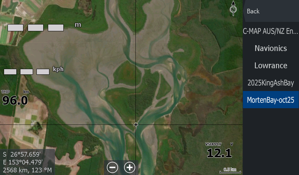
The more muddier sandbanks at the Southern End of the Bay don't appear to differ from the maps.
But only those out on the water will know.
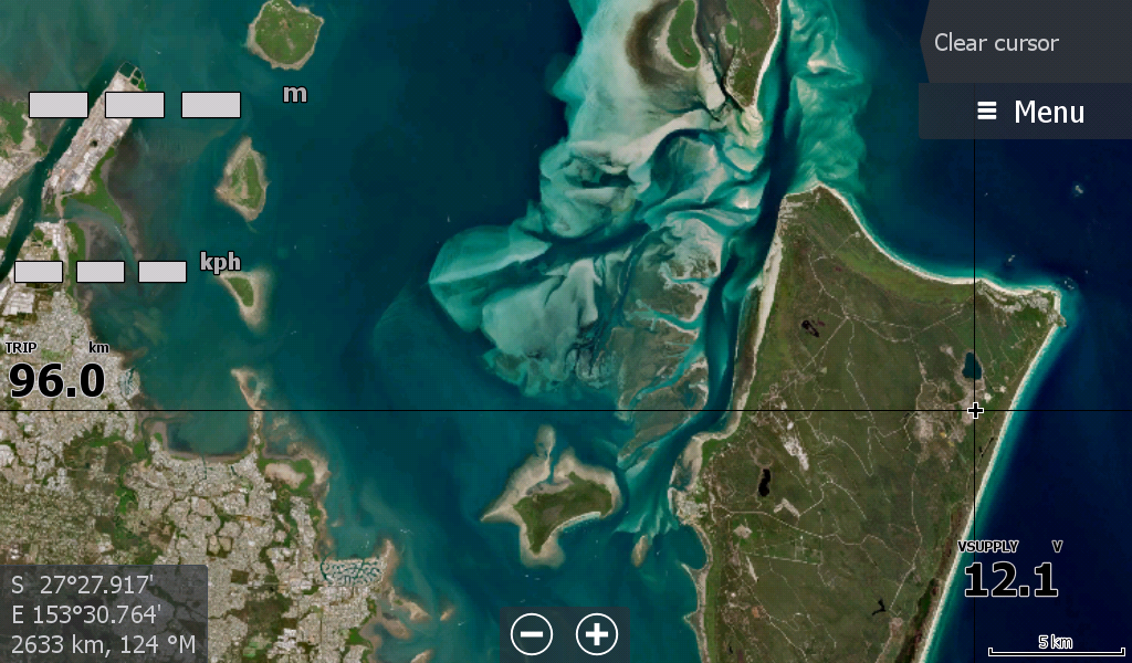
These Low Tide maps are usually for unchartered waters ( And Moreton Bay is well charted)- I noted that the tide was too low around Bribie Island in this imagery and therefore the last channels of safer water were lost to sandbanks..
You can find more maps to Fit your Lowrance Sounder for mostly uncharted estuary waters in Queensland, Northern Territory & Western Australia at topendmaps.com