
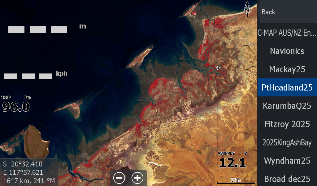


Port Hedland WA Low Tide Map 25
On Sale
A$15.00
A$15.00
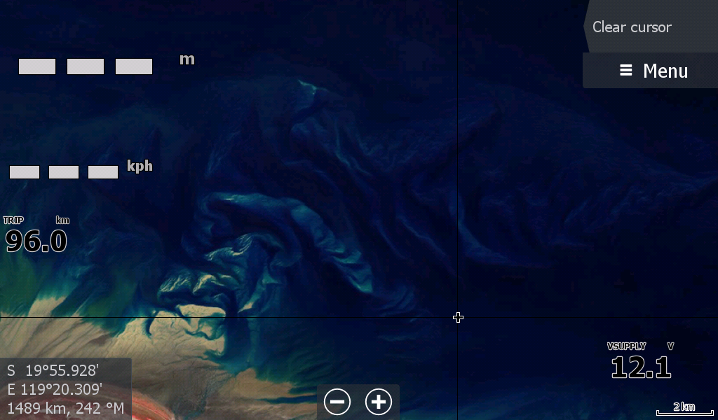
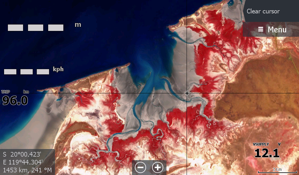
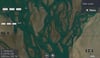
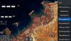
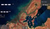
The Port Hedland Low Tide Map 2025 -
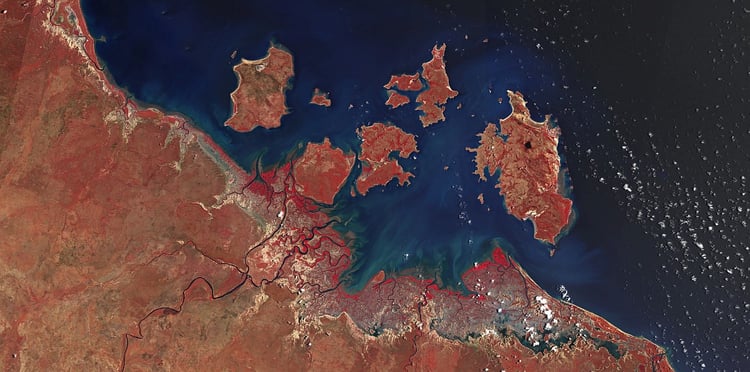
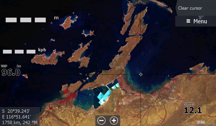
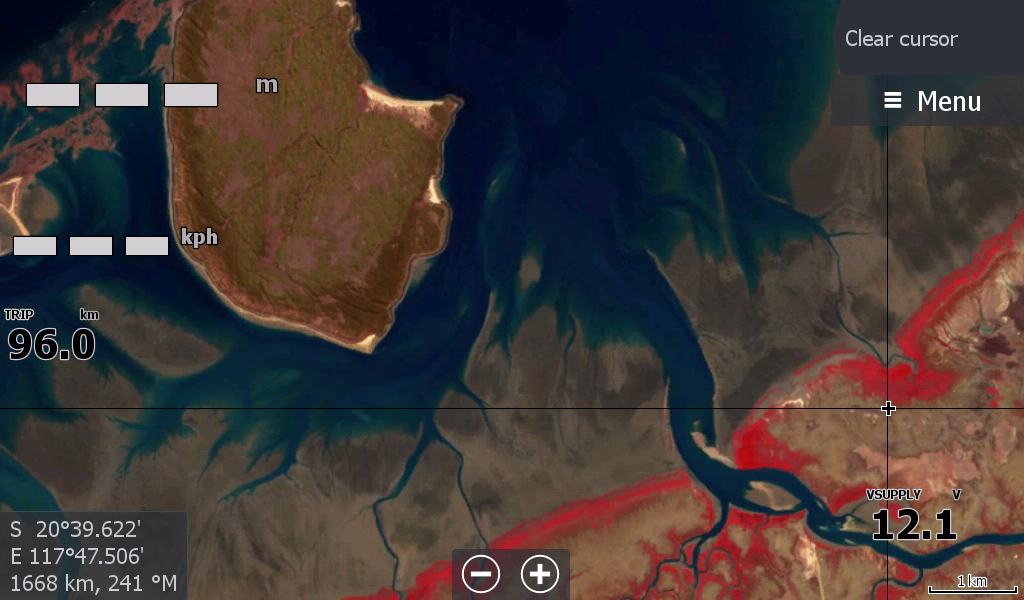
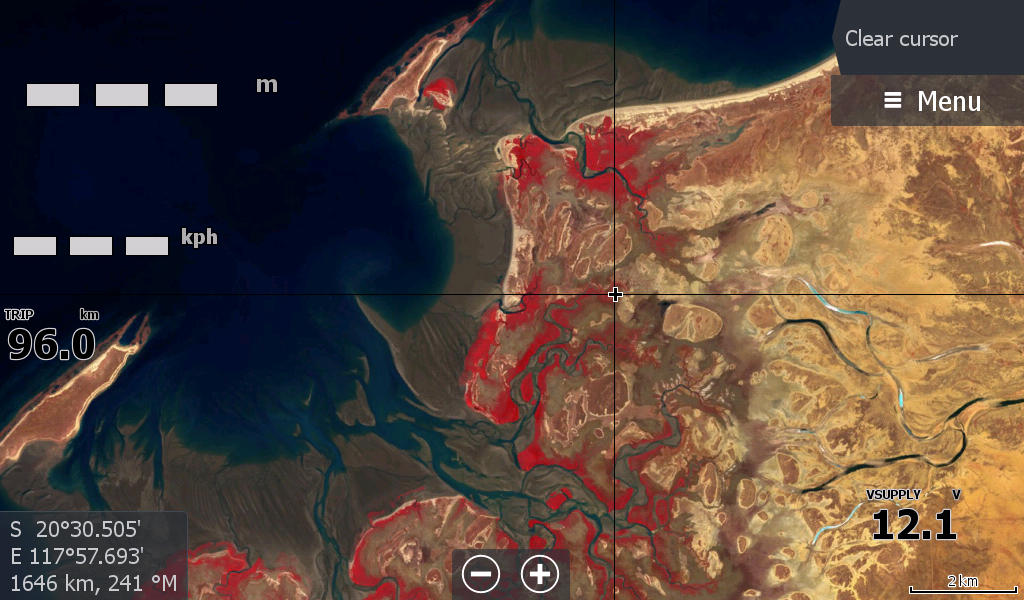
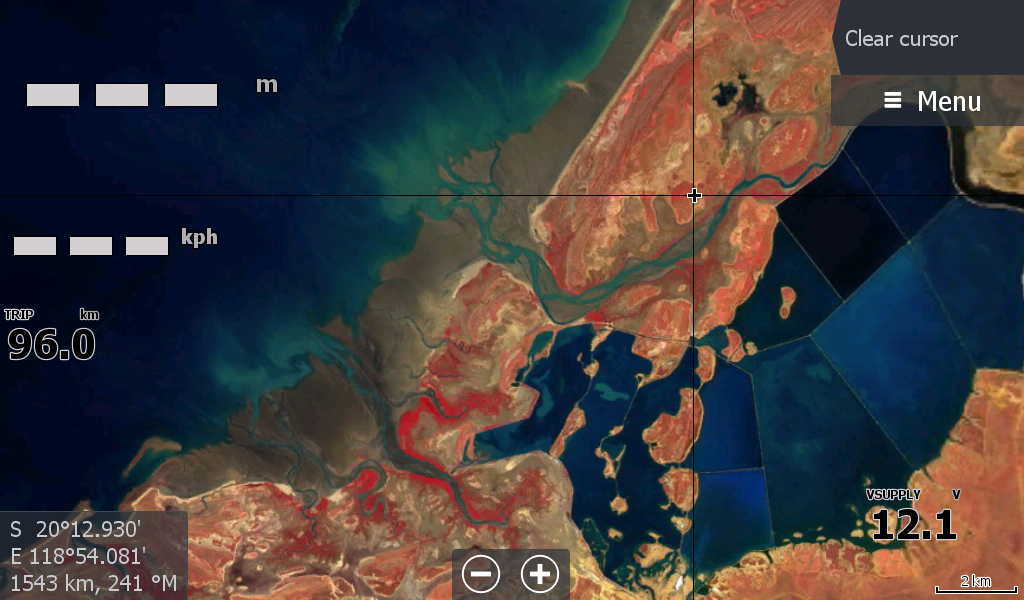
This Map covers from Point Samsom / Delambre Island ( Near Karratha) all the way through Pt Hedland to Pardoo 90 Mile beach area.
I could not split it evenly between Karratha & Hedland as the map ceases at Point Samson splitting Wickham & Karratha in half. Karratha will have another map for the Southern side in due course.
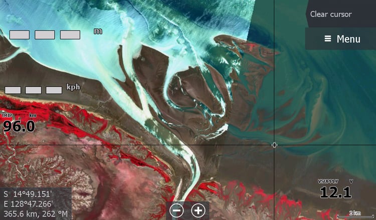
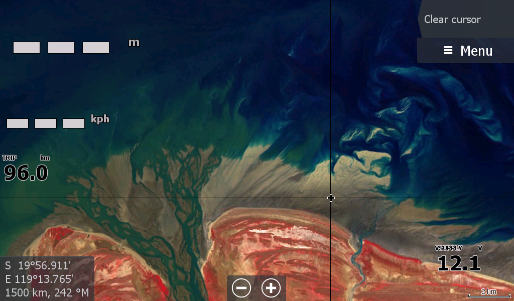
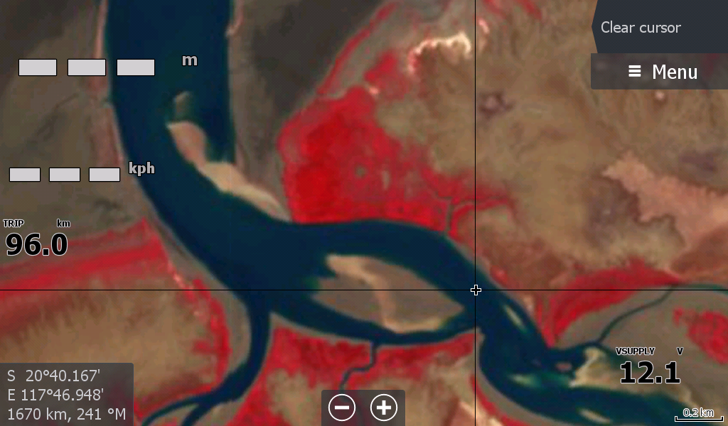
The 6 metre variance in tides here is amazing with the sandbar at the mouth of the deGrey River extending at least 3 kilometres out to sea. One of the remote boat launch sites, Balla Balla, is centrepiece to this imagery.
Don't forget to follow on facebook for updates & tips