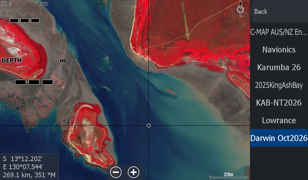
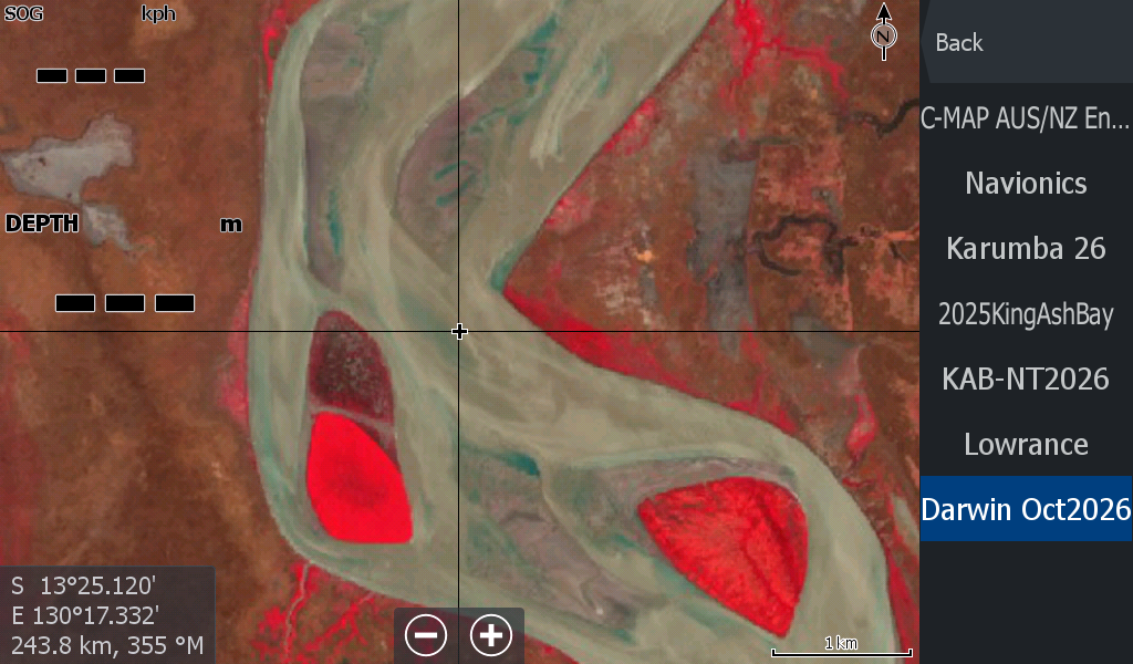
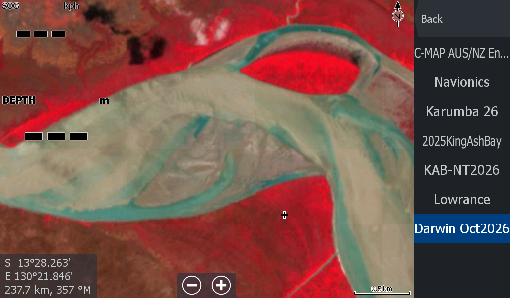
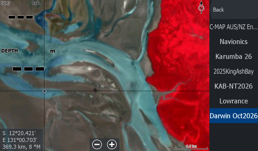
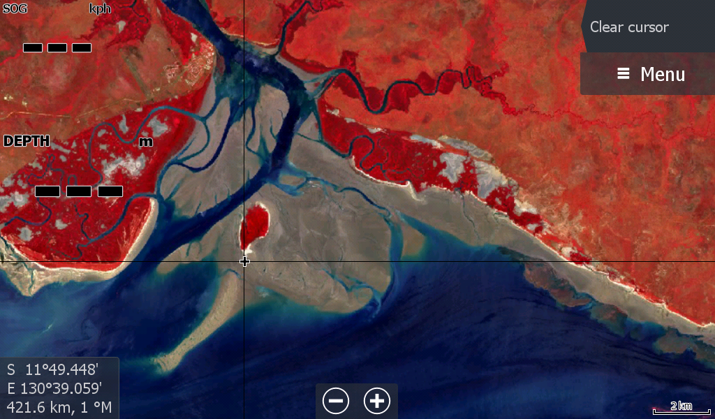
Darwin Low Tide Map 10 October 2026
October 2026 Darwin NT Low Tide Map -
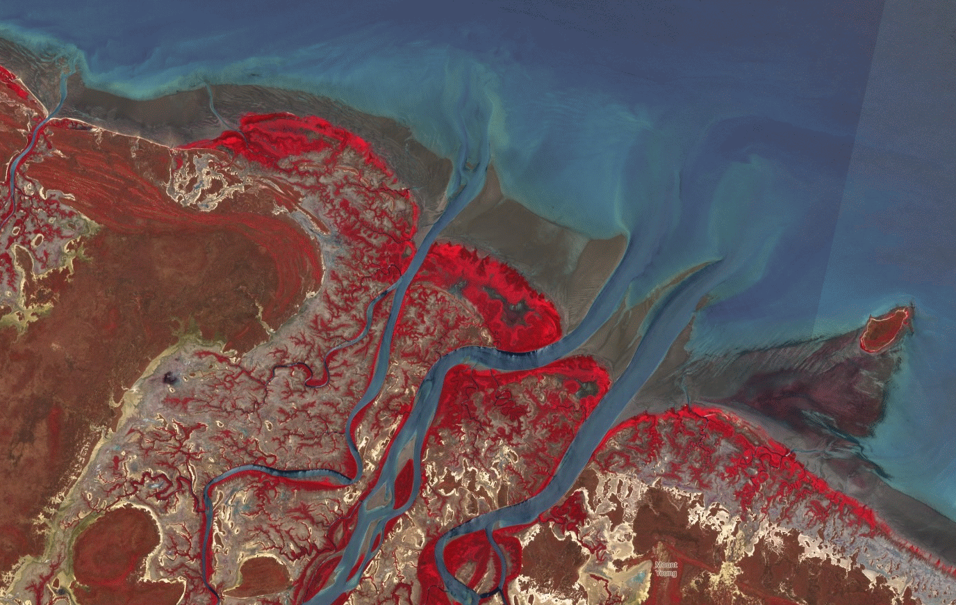
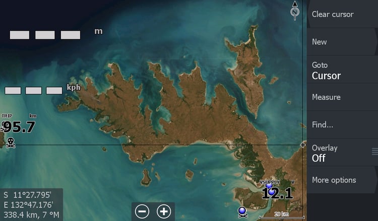
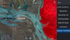
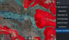
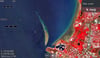
This map covers more area than previous Darwin versions, but has a bit of cloud coverage on the outer peripheral. (image below) Included is the Apsley Strait sandbars of the Tiwi's and the Southern Tiwi Coast. Cloud about the Vernon Islands and North of Adelaide River Mouth .
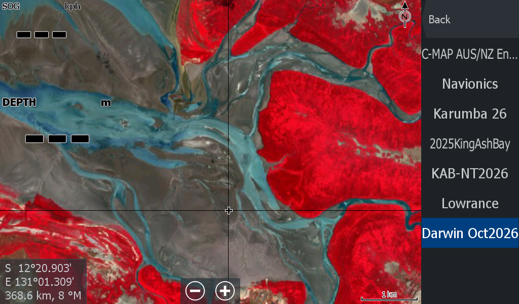
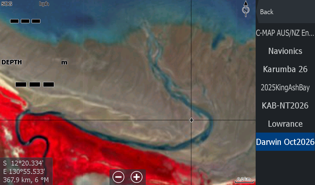
Good imagery of Shoal bay / Howard River/ Buffalo ck.
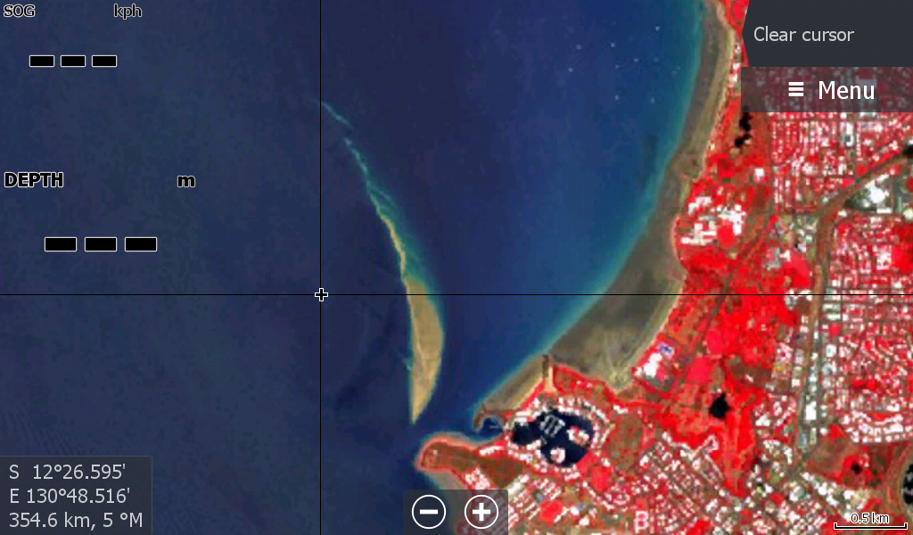
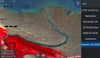
Cullen Bay sandbar is well exposed at 2.4 km long
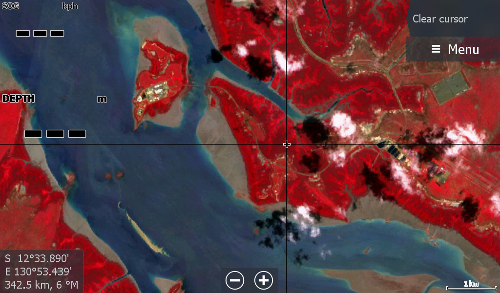
A random cloud or two pop up in Middle Arm near a sandbar , not far from Channel Is.
A few clouds around Crab Claw / Bynoe.
Dundee clear, all the way around to Daly Mouth.
I have included about 30 km up the Daly, but it is very hard to determine the sandbars from the muddy water ( so this maps is not any help there, so think of it as not available)
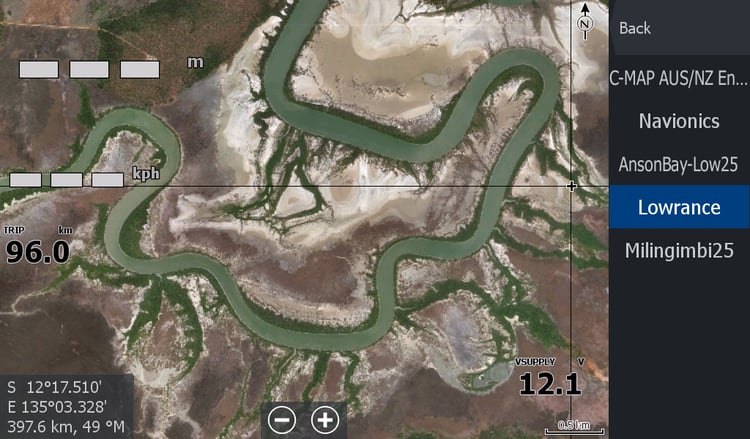
The Map covers Anson Bay, however cloud builds up the further South you go and a better resolution image is not available where the cloud cover gets too annoying.( but its part of the overall map)
Just remember that the Low Tide maps are not high resolution, but are the latest info you can get for sandbars.
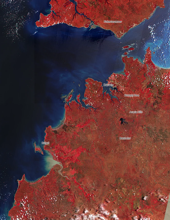
The area to the right & North of the Adelaide River mouth is cloudy & not covered in the better resolution by the map.
Don't forget this map goes hand in hand with the better resolution satellite map of Darwin region https://payhip.com/b/8oaCT