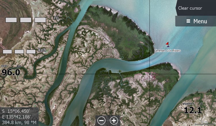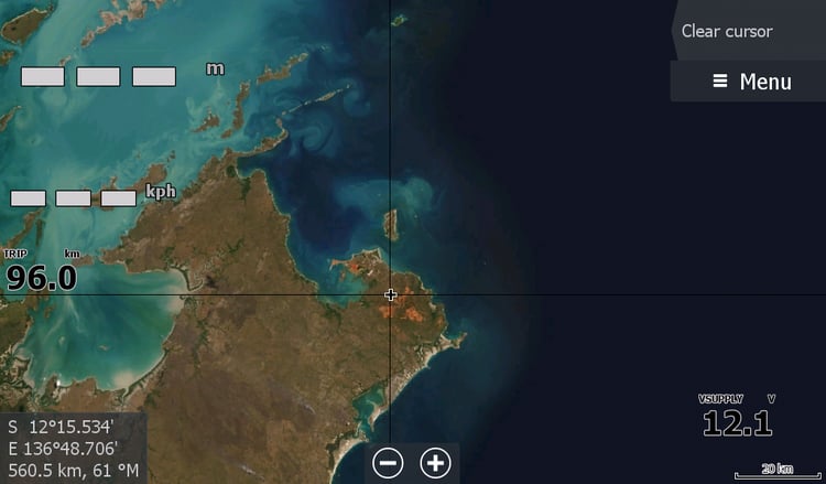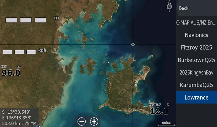
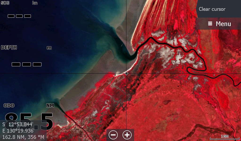
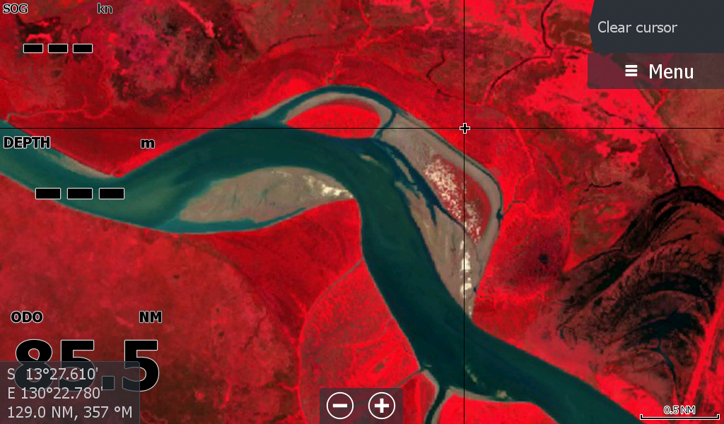
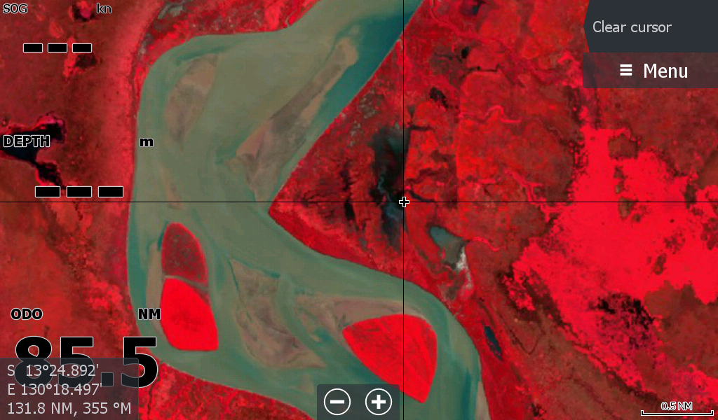
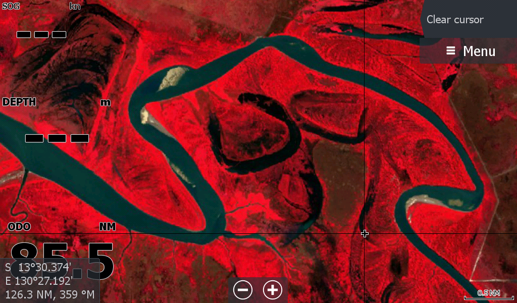




Daly River Anson Bay NT extended low tide map 2026
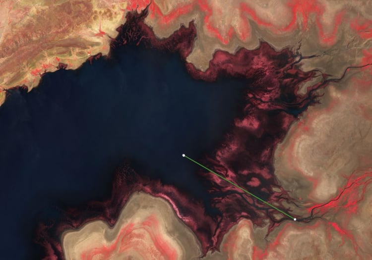
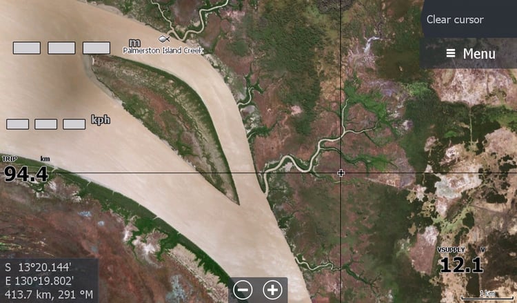
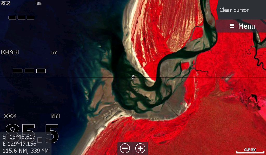
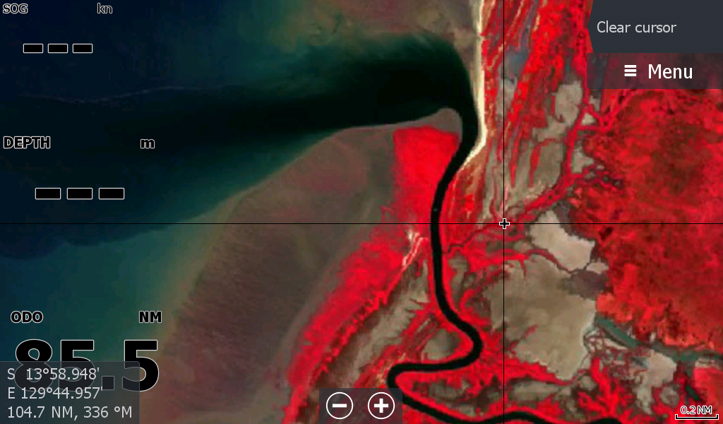
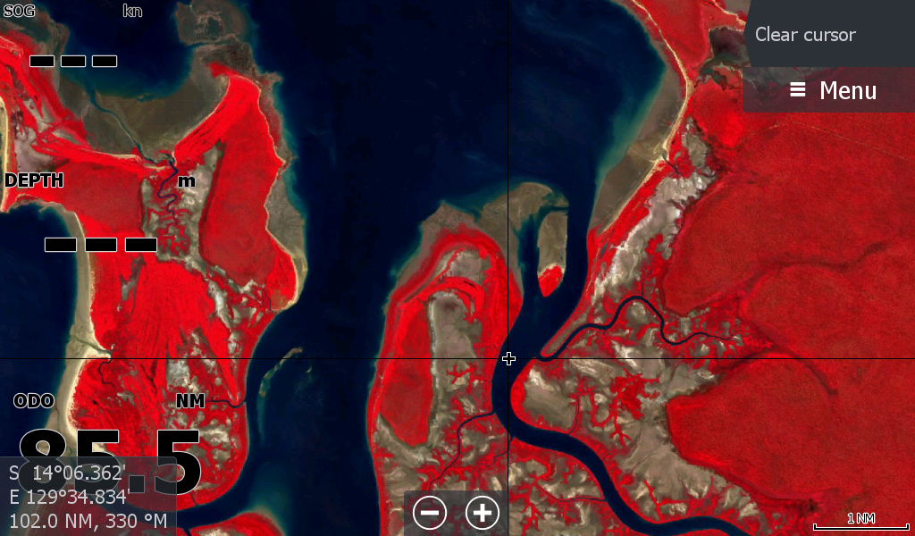
The Daly River & Surrounding Anson Bay Low Tide Map Dated 28April2026. ( extended area)
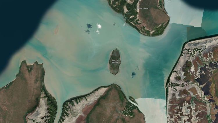
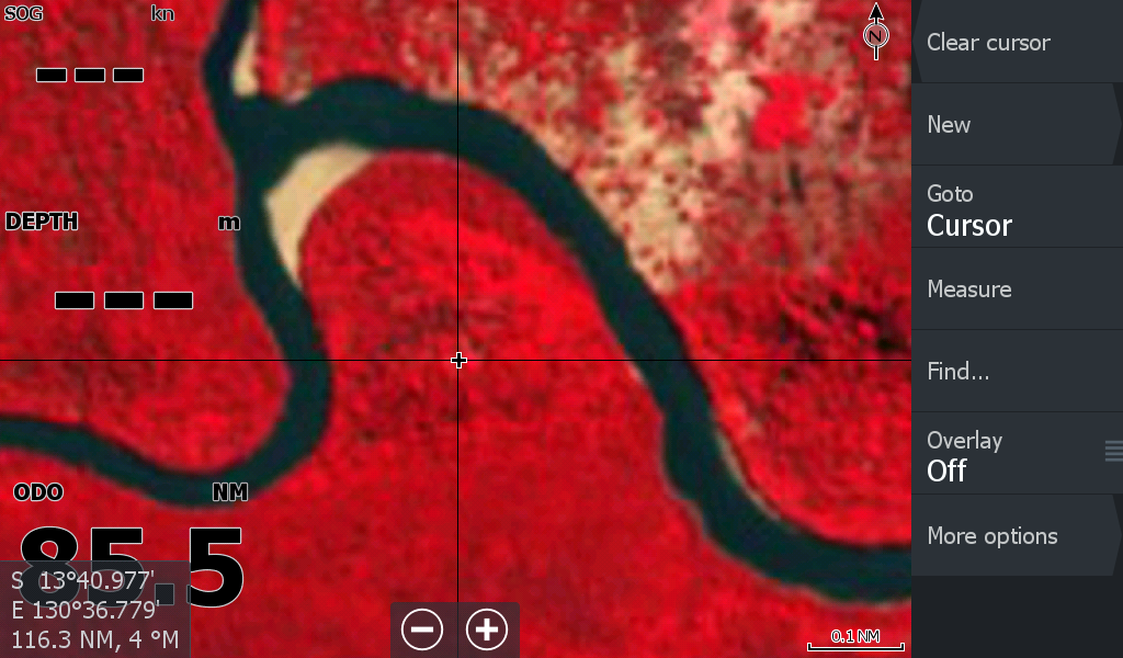
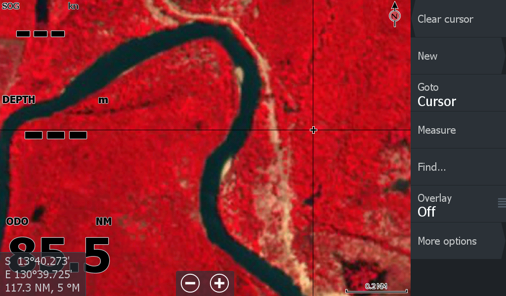
This map is for both the Daly River & the extended Anson Bay area. Previously 2 individual maps due to cloud cover, now combined. Starting at Dundee Boat Ramp and heading South, including the same Finnis imagery as the Darwin 2026 Low Tide Map for those who launch at Dundee doing the Finniss down all the way to the Moyle or Port Keats. The Daly is covered all the way past the bar.
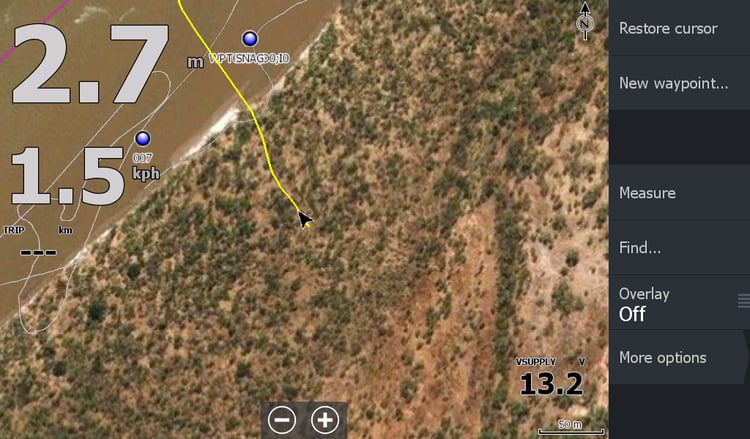
Interestingly , although this map is a lower tide than the image 2 weeks ago, there has been substantial movement in the welcoming sandbar 13kms in from the mouth. It looks like the incoming tide is shaping it towards the centre more,( by 100metres in 2 weeks) ( I'll include an image with purple outline from previous fortnight 13Apr26)
So be aware! this may be the last imagery for many months & I'm using my "best endeavours" to create these maps for boaters so go steady..
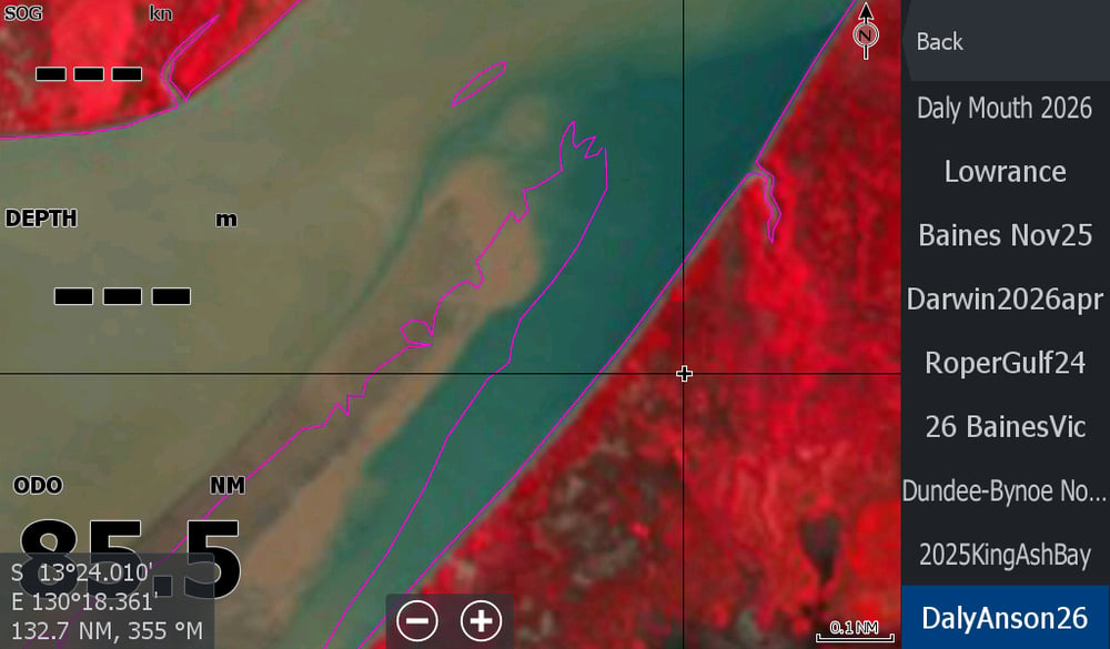
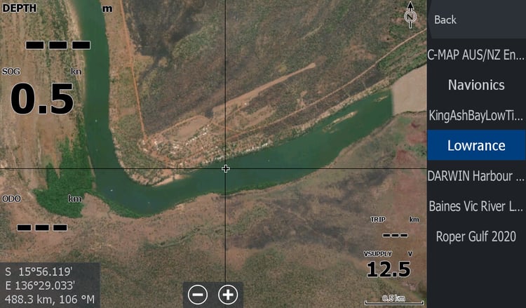
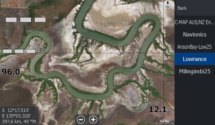
The Low Tide Imagery as always is not high resolution like the general satellite maps, but there is nowhere else you can get this remote river sandbar information on to your Lowrance Chart Plotter. ( Apologies once again to Garmin & Humminbird users, you guys are locked in to their maps, I cannot assist you)
Please check in or follow with the facebook page for new map updates and check the tutorials & youtube vids on the website www.topendmaps.com