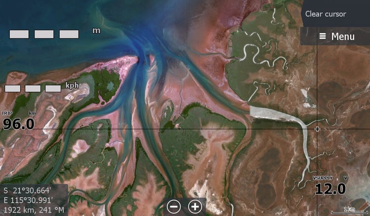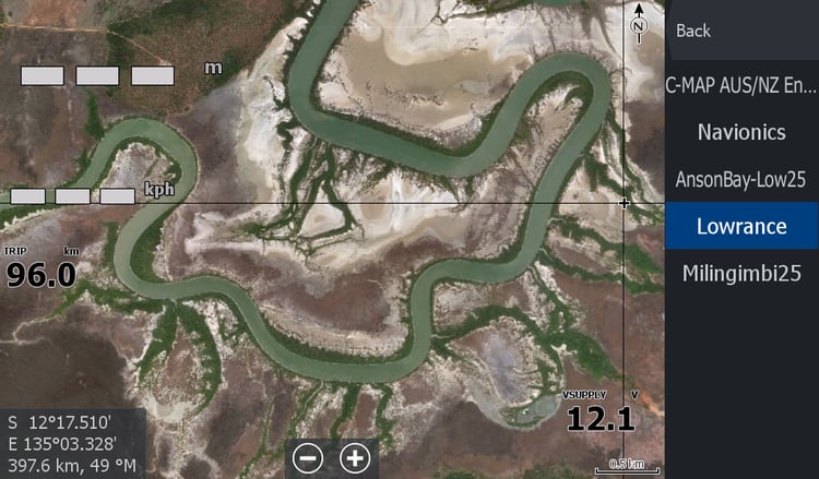


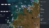

Darwin NT - From Daly Mouth to Gunn Point
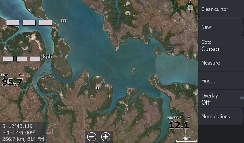
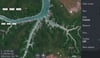
Darwin & surrounds covering the Mouth of the Daly, Perron Islands to Shoal Bay Gunn Point. Including Dundee, Bynoe Harbour Elizabeth river & even Manton & Darwin River Dams.
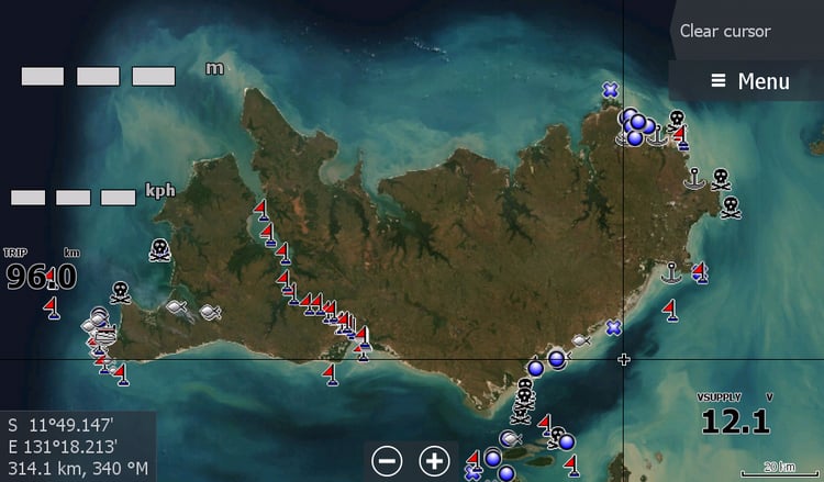
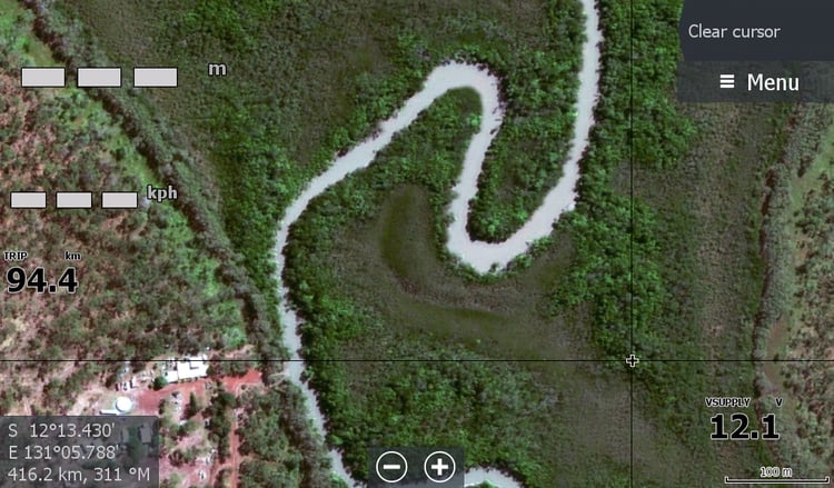
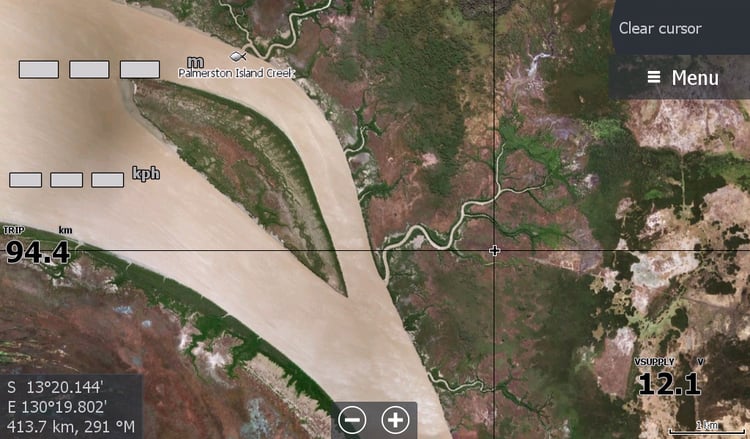
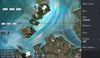
This will assist the crabbers in the mangroves & up creeks around the Harbour. Those launching at Charles Point to fish that part of the country.. Dundee beach area, however the many rocks and reefs are not visible. Crab Claw Bynoe Harbour. I recommend Combining this map with the Dundee Low Tide Map.
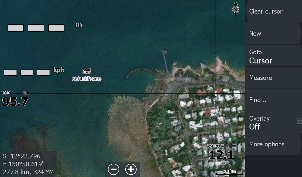
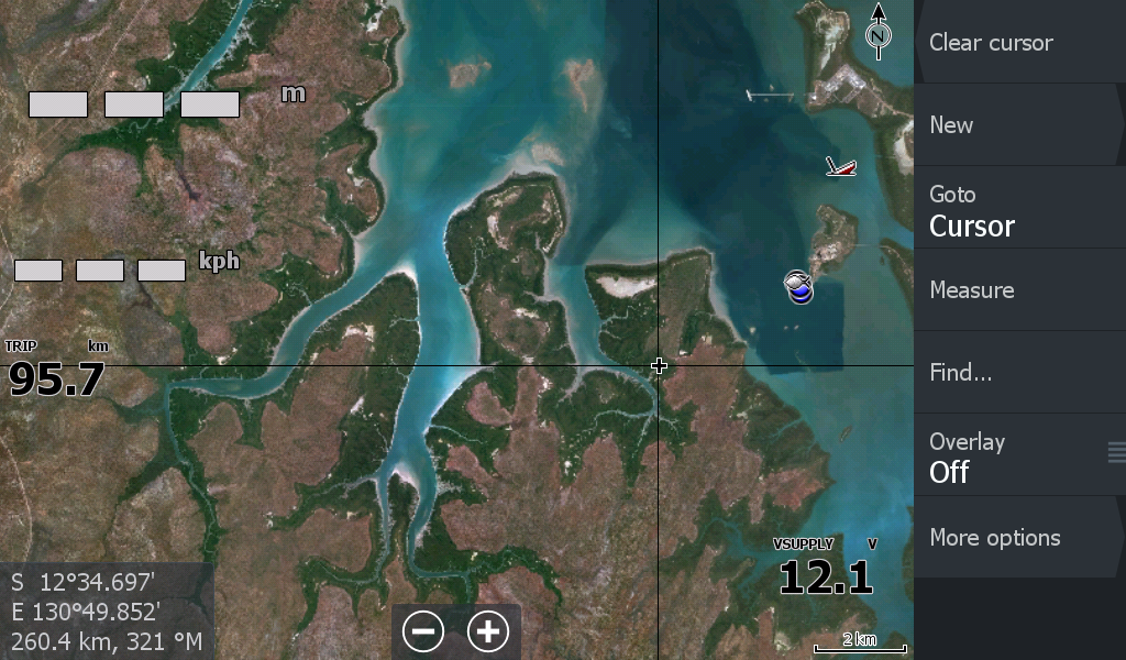
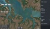
There is not much of interest off shore as the World maps are sea scrubbed of detail ( not by me) so any reefs or rocks are possibly not visible. Even the sandbar in front of Cullen bay isn't there.
The imagery may be 10 years old so unless the coastline is washed away it is great. But always refer to your C-Map / Navionics for reefs.