

Victoria River Northern Territory
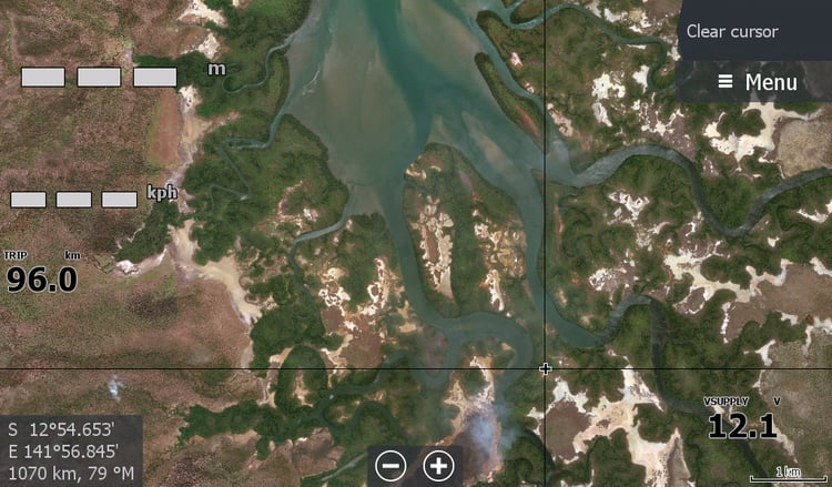
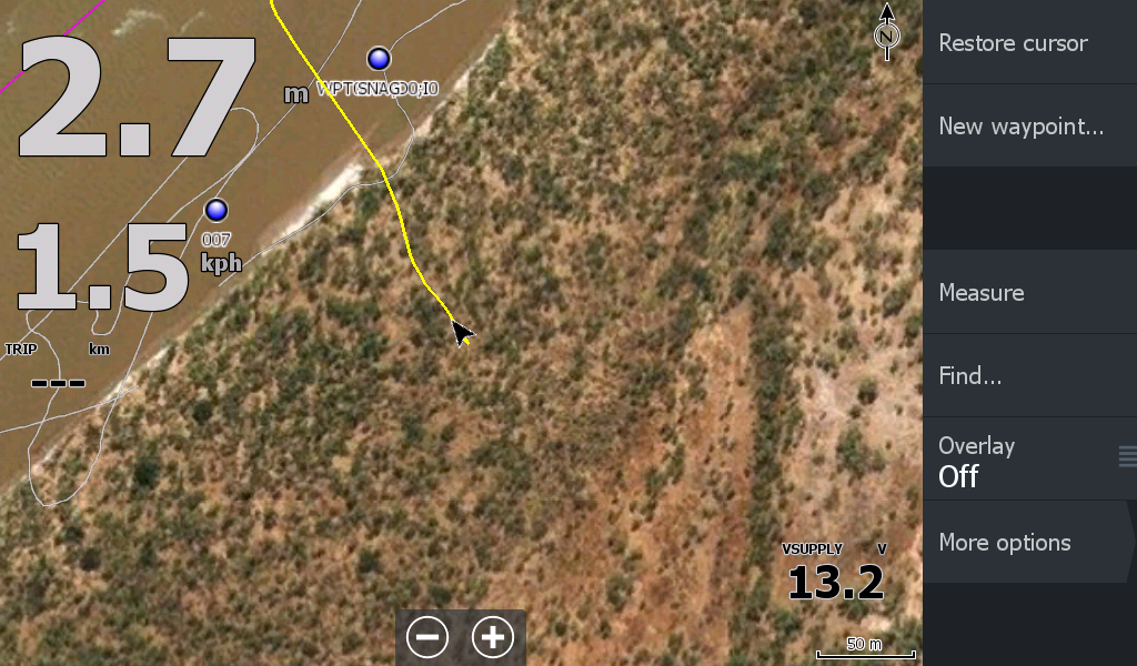
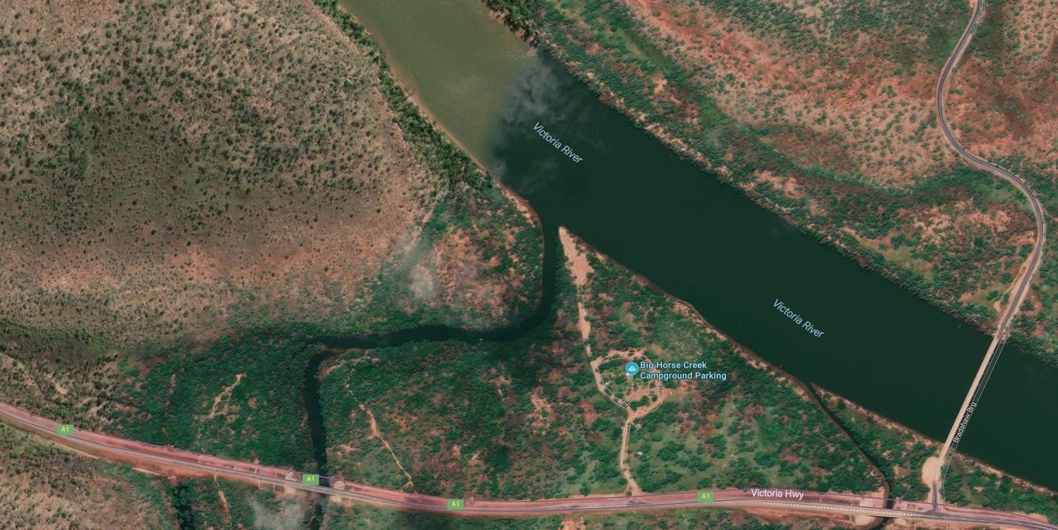
The Northern Territory's Mighty Victoria River.. From the Mouth to the barramundi fishing grounds up behind the roadhouse. Includes tributaries like Bulloo River, Baines River, Angalari River, Pelican point, Policemans point, Lookback creek. Basically all the stuff I would want to see while I'm out there either behind the Roadhouse or down at Growlers.
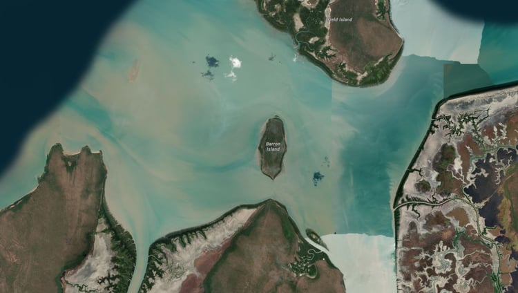
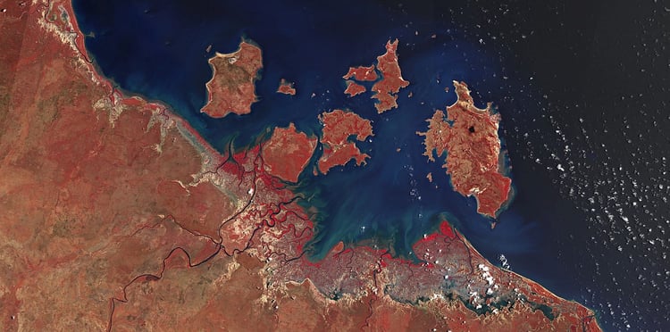
This map also features the Fitzmaurice River system
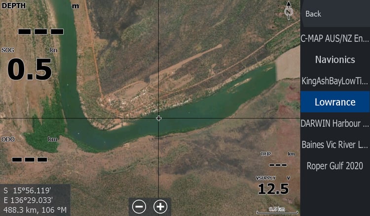
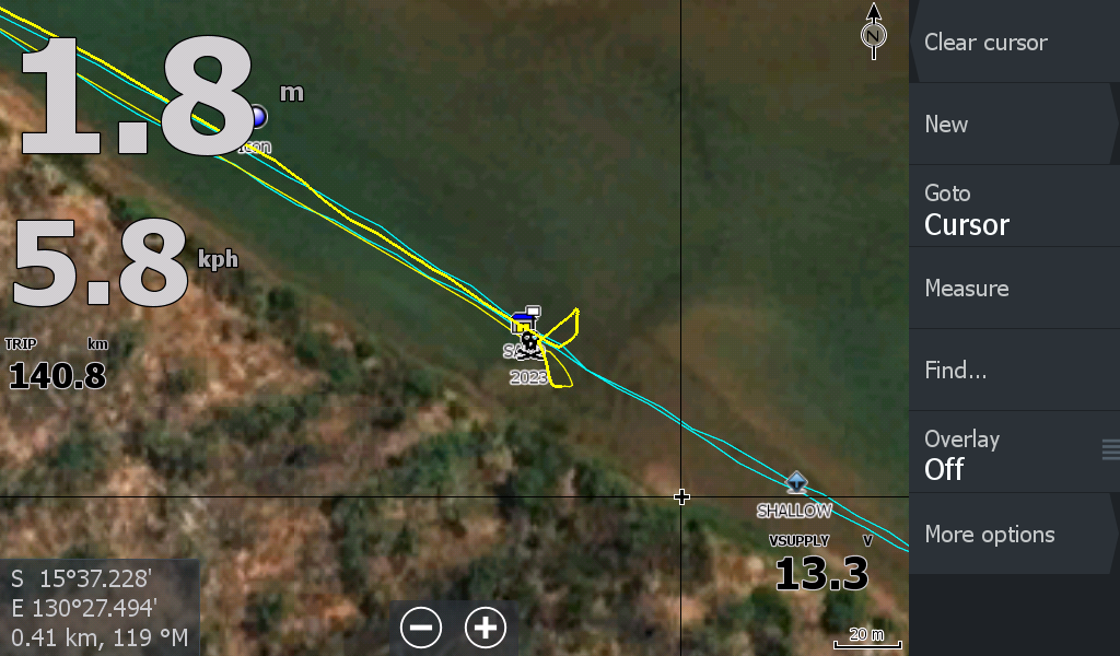
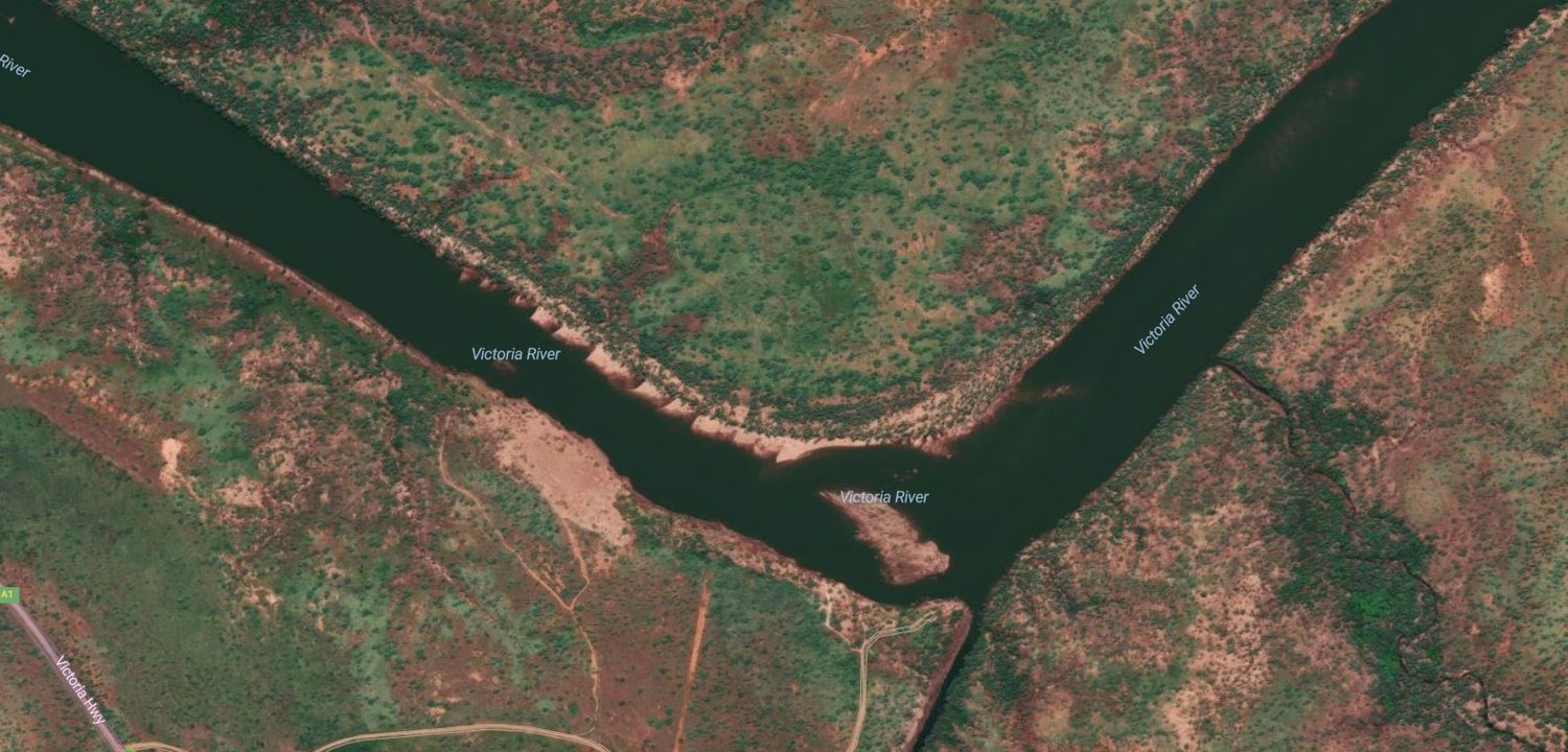
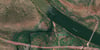
There is one issue with a section of the map down in the Golden mile / football creek , green island bend ( 70 km down from the Big Horse boat ramp) It will show your boat situated 100 metres or more over dry land bush bashing for a few kms as you round the bend. It's a little confronting when you are down there and the chart plotter is showing you are amongst the trees 5 metres higher up the embankment. It did my head in thinking I'd mucked up, but going through historical imagery, this section of river is on the move big time. 2 years ago it had a 3km long ,70 metres strip carved off it.( That is a massive volume of 3-5 metres high soil) The southern bank is eroding out the cliff face every year & other soil is being deposited on the northern part of the bend so it stays the same width and no-one notices its movement.
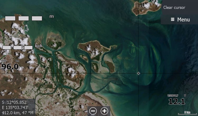
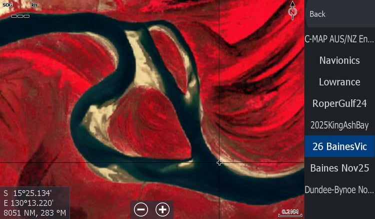
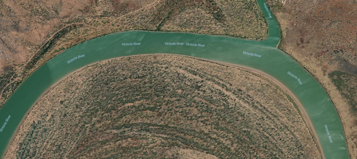
Also up the Baines River bend has collapsed and is becoming an oxbow lake structure.
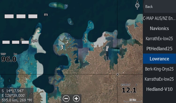
The satellites are not big on updating the imagery of the region. But its still better than the maps that come with your chart plotter.
** December 25 ** I have standardised the map & removed some bloated data. I have utilised a different map set for the Baines / Angalari Rivers section that is more current ( albeit in full wet season flow)
( This is where the seasonal Baines "Low Tide" maps come in handy as the river changes course every season at the Baines Mouth)