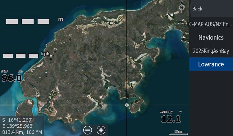
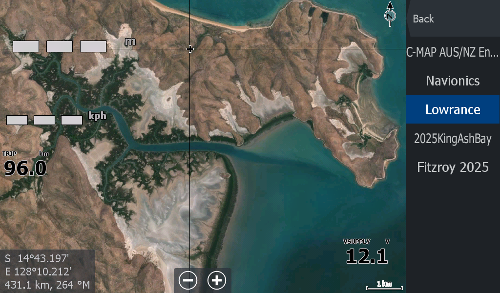

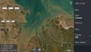
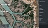
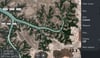
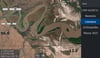
Wyndham WA ( Inc Keep & Ord rivers)
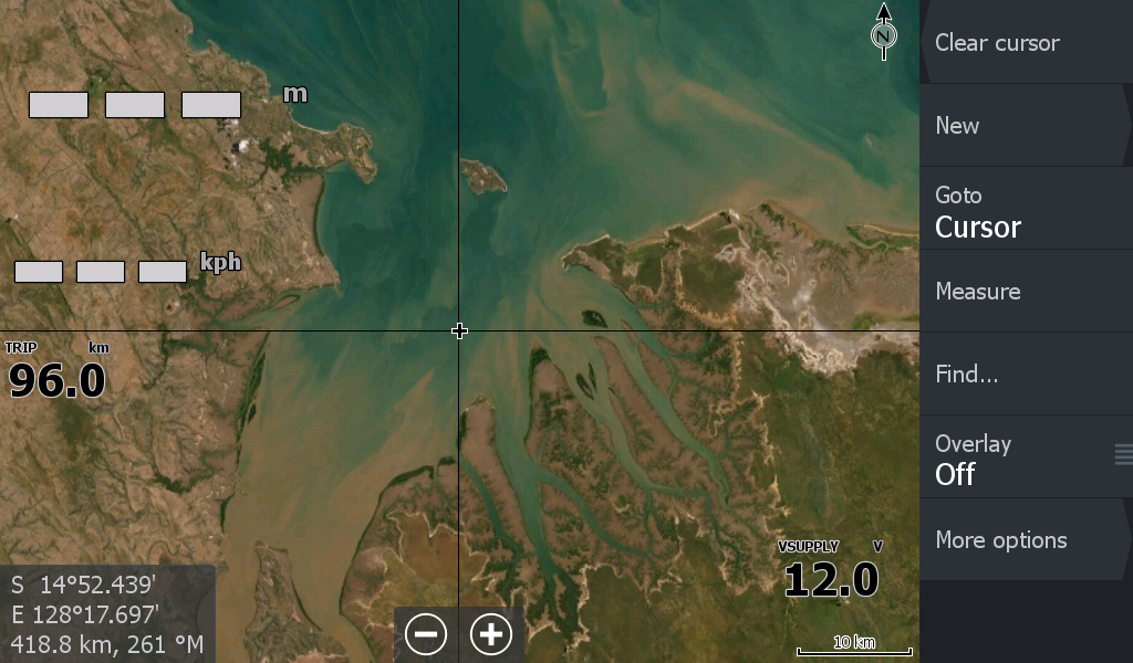
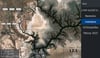
The Port of Wyndham is another mapped out area by C-Map & Navionics.
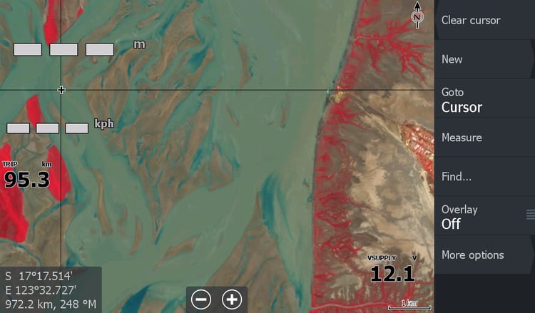
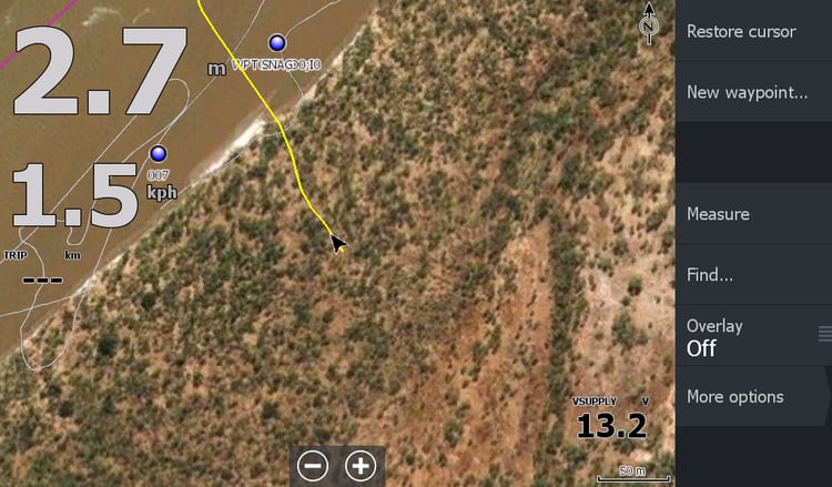
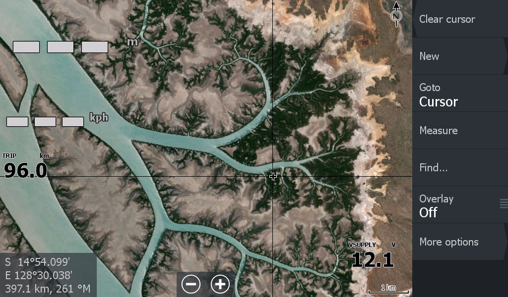
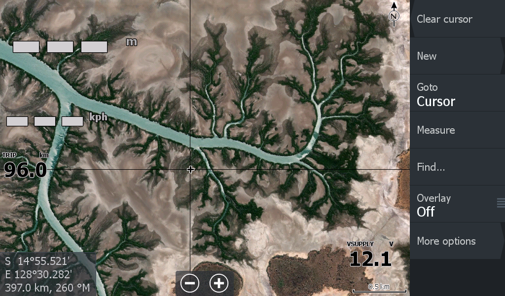
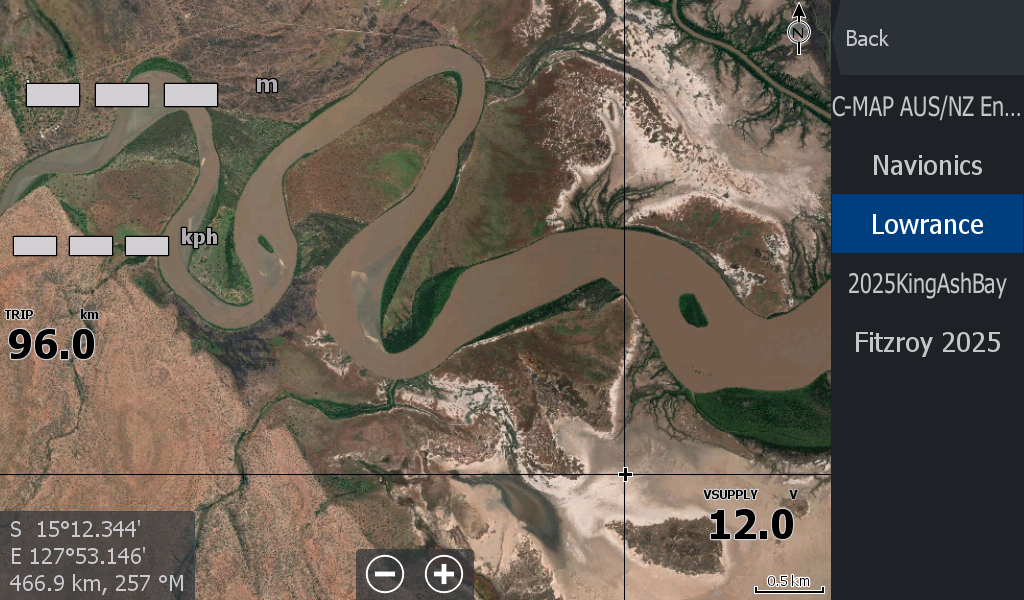
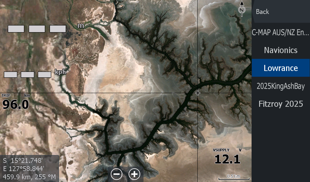
But for Barra fishermen who search among the many runoff branches out to the mouth & beyond the Port, those maps lack detail. With the Satellite imagery you can see what creek branch you are up & how far over to the next creek.
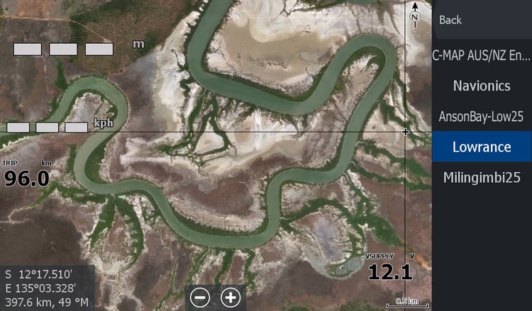
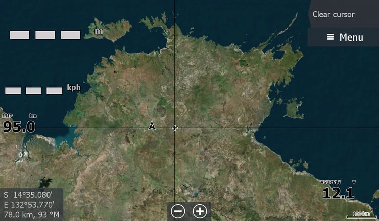
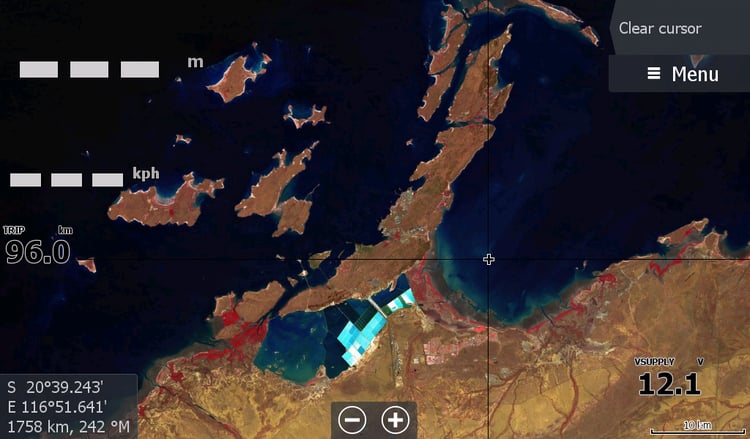
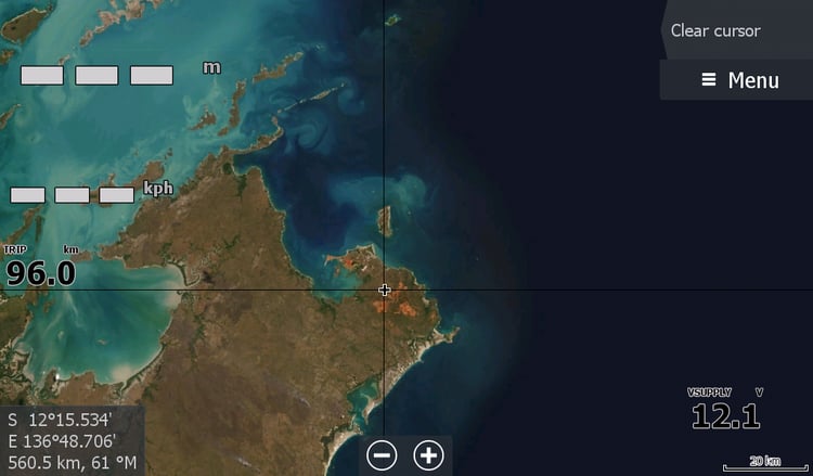
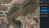
This map covered quite an area from the Berkley River down to Keep River and the mouth of the Vic, all the way along the Ord to Kununurra & the wall of Lake Argyle for those who cruise upstream.
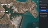
This is quite a large file & split into segments as to not stress your Lowrance out too much. If I went for higher resolution the weight of the data on your micro sd card would of used up too much petrol.
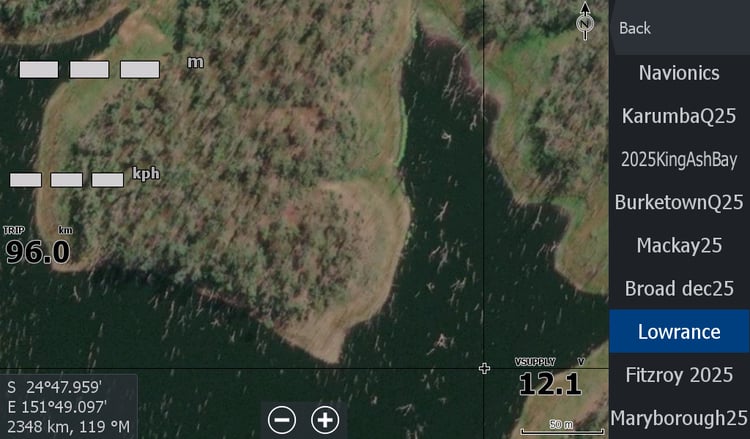
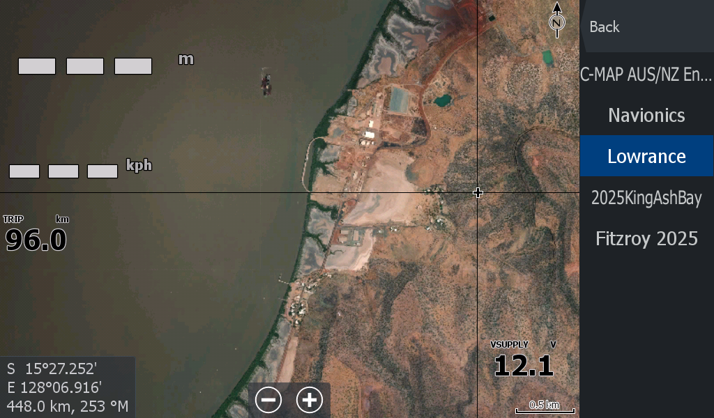
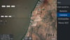
I did have a 2023 low tide map for people heading to the Berkley, but it only covered the top northern side of the river. I have been looking for suitable footage since to make another low tide map without cloud.