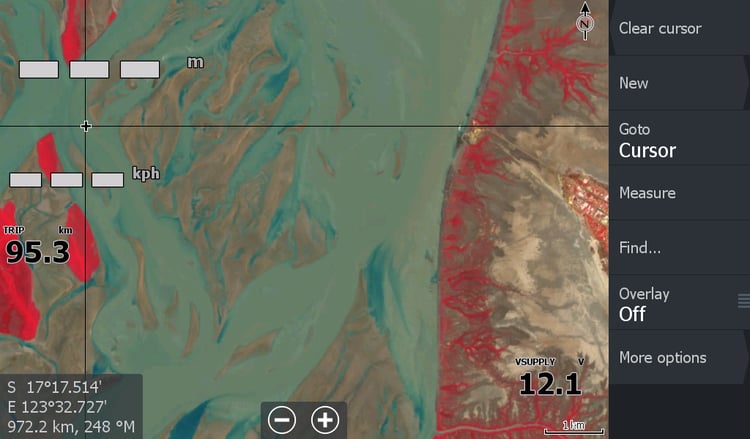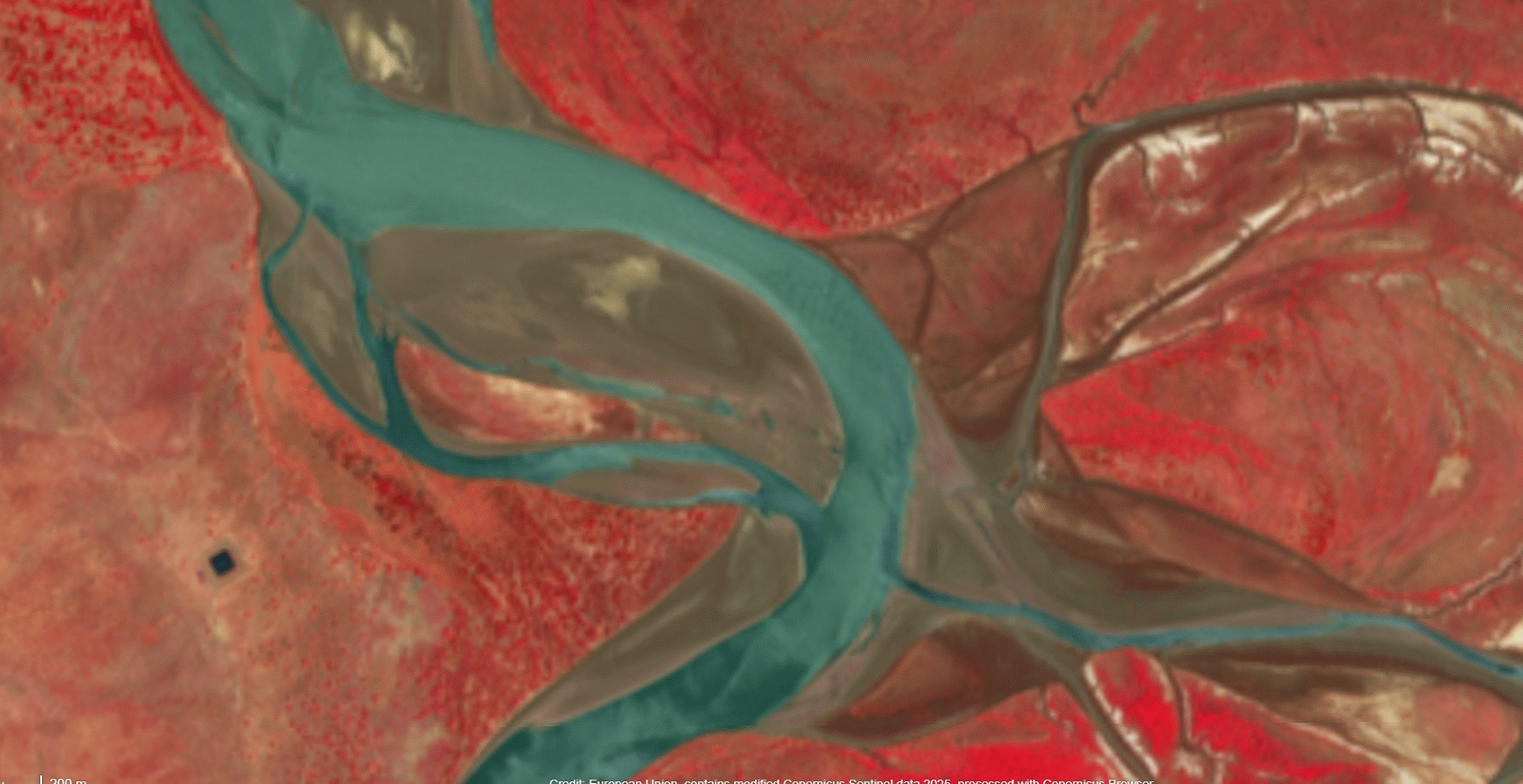
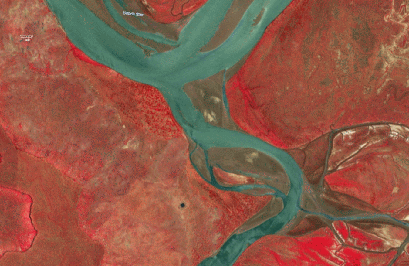
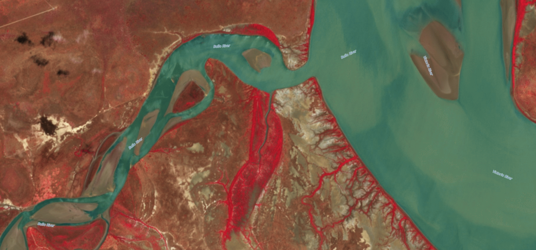
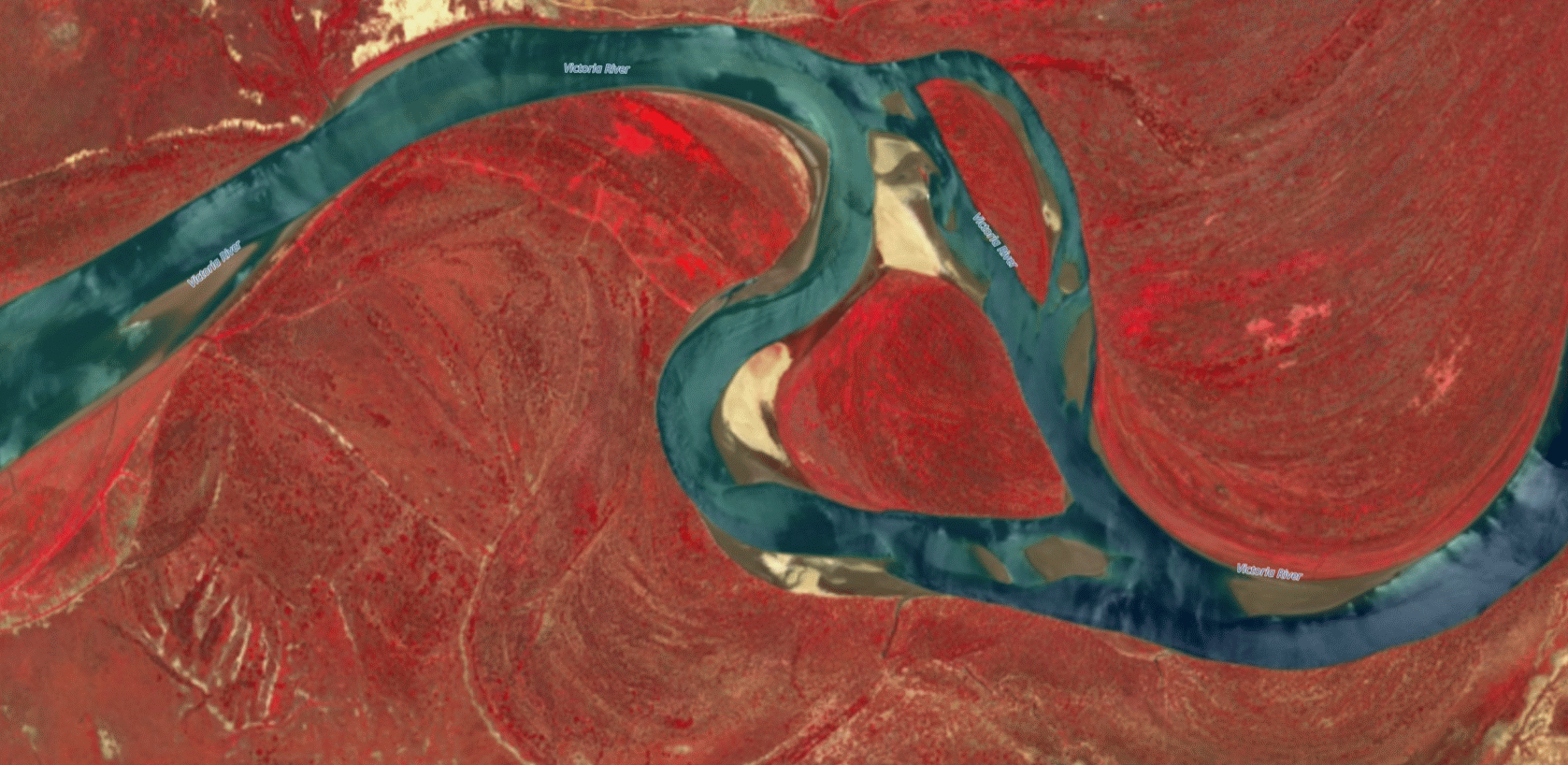
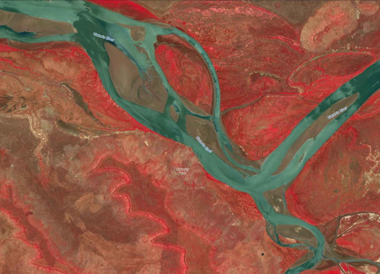
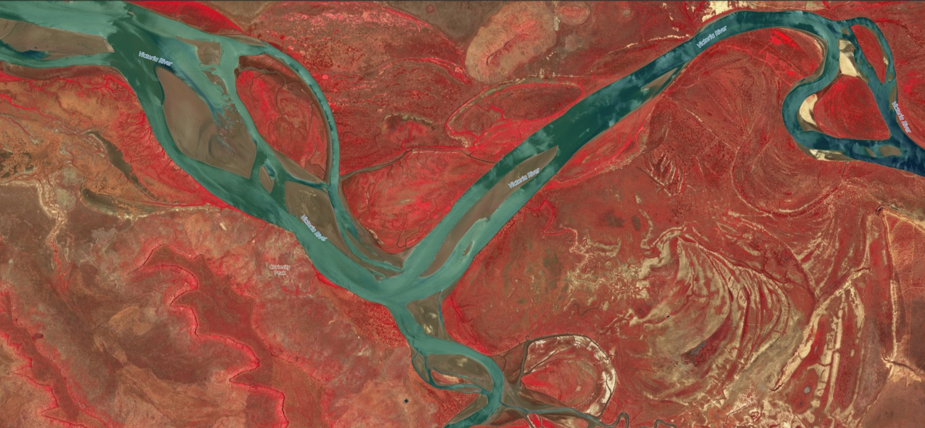
Baines River Victoria River to Bullo Low Tide 2025
This section of the river does change yearly and many a boat can become stranded on the flats.
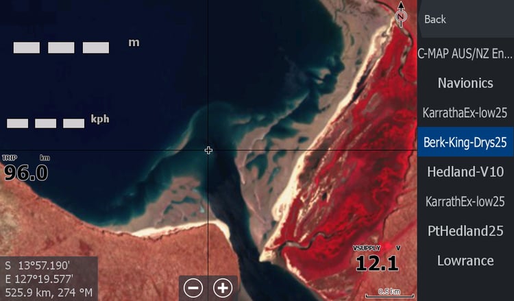
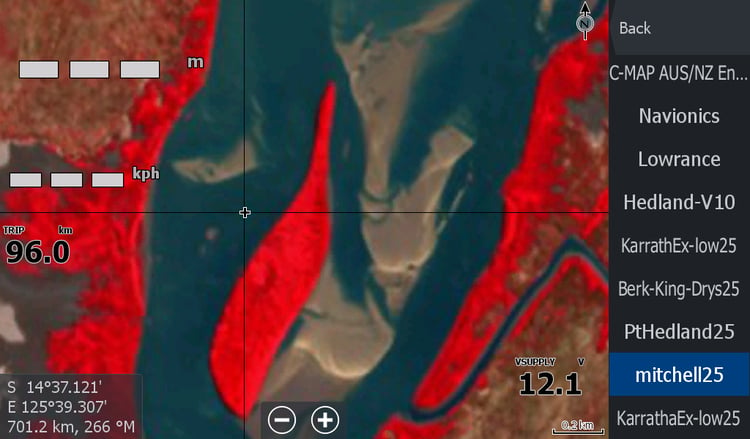
This October 2025 imagery is checked regularly as channels here can swap sides and screw you around. I usually capture 15-20 kms either side of the Baines from The Golden Mile , green Island down to Bullo River mouth , depending on the best time/date/cloud cover combination and sandbars. Sometimes the sandbars around Sandy Island are visible and included. I grab whatever will help you have a trouble free trip. The best images are usually on the cloudy days and unusable. You'll still have to work out exactly where Skeg Rock is yourself though.
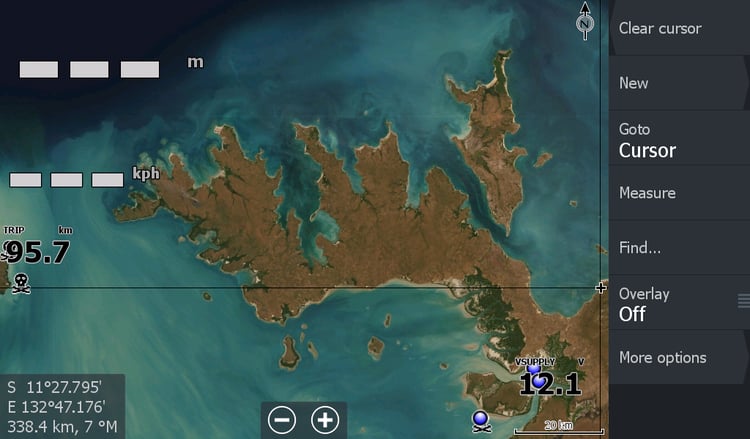
This map is a must for anyone venturing 70km down the Territory's Victoria River to the Mouth of the Baines or Bullo Rivers.
I would also recommend the whole Victoria River Imagery as well
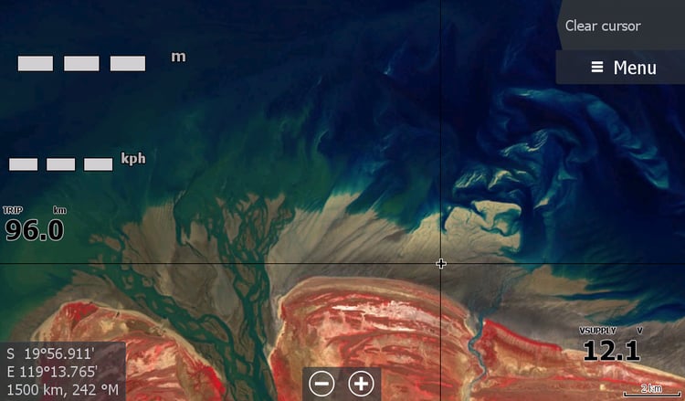
**March 2026 I have done a comparison to the Baines mouth ( late feb 26) with a partial snippet of cloudy lowish tide and weirdly enough it look pretty much the same. I expected it to swap sides or do the thing the Baines does and throw a spanner in the works. There has been too much cloud lately but I am watching and waiting to compare.