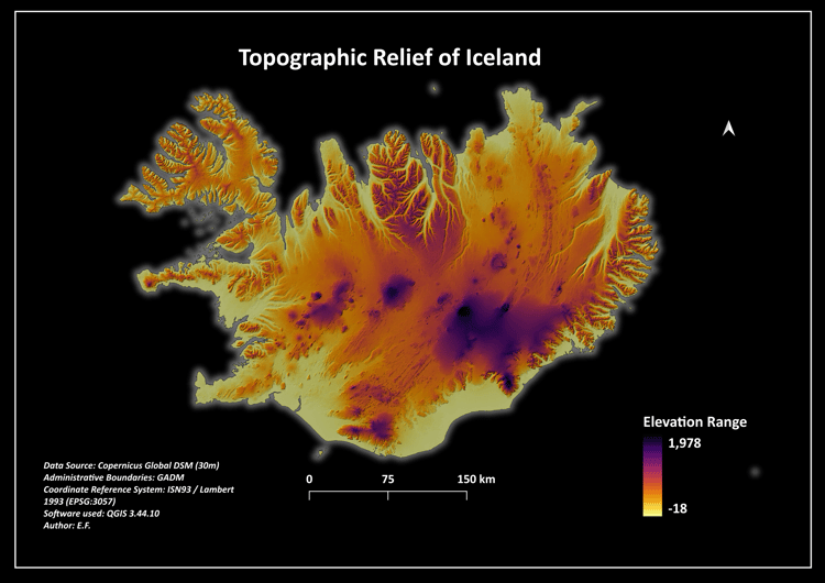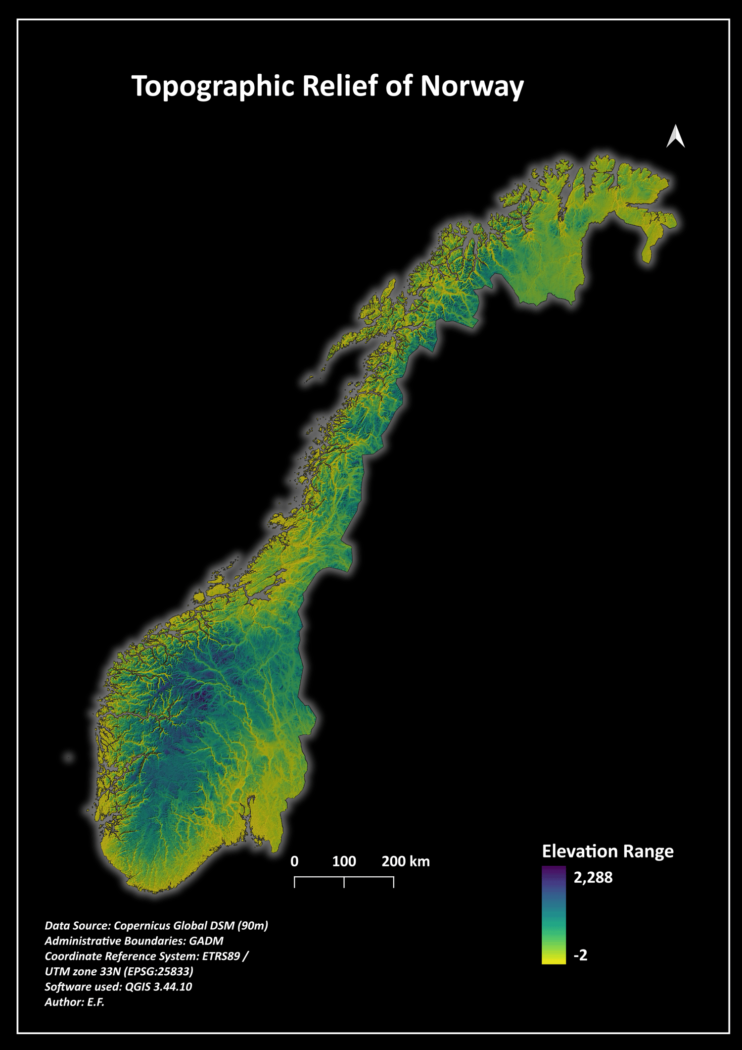
Norway 90m Digital Elevation Model (DEM) & Topographic Relief Map Layout
🌍 New Release: Norway Digital Elevation Model (DEM) & Fjord Relief Map Bundle 🌍
Capture the breathtaking scale of the Scandinavian Mountains and the intricate network of Norwegian fjords with this premium topographic data package. Styled using the scientifically optimized "Viridis" high-contrast palette, this layout highlights elevation changes with stunning clarity, transitioning from deep ocean-edge purples to soaring neon-green peaks.
📦 What is included in the secure ZIP folder:
* 01_Maps_Print_Ready/ -> High-quality 300 DPI exported map layouts in the striking "Nordic Tech Dark Mode" style.
* 02_Geospatial_Data/ -> Clean Copernicus Global GeoTIFF raster dataset reprojected to EPSG:25833 and clipped exactly to the national coastline.
* 03_QGIS_Styling/ -> Custom automated .qml layer style file for instant relief mapping and hillshade blending.
🌐 Technical Specifications:
* Data Source: Copernicus Global DSM (90m Spatial Resolution)
* Coordinate Reference System (CRS): EPSG:25833 (ETRS89 / UTM zone 33N - Official Norwegian Projection)
* Formats: GeoTIFF (Raster) & Shapefile (Vector)