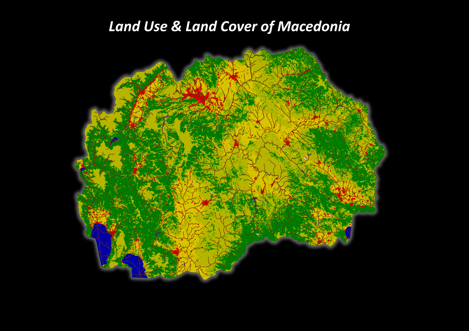
North Macedonia Land Use & Land Cover (LULC) 10m Mapping & GIS Data
On Sale
$12.00
$12.00
A comprehensive, professionally styled GIS Mapping Pack focusing on the entire territory of North Macedonia (2024 Edition). Designed specifically for environmental scientists, urban planners, high-quality thematic maps, and presentation-ready geographic data.
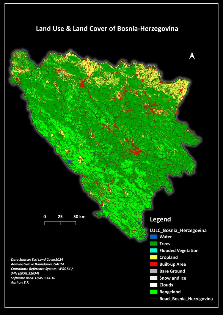
This dataset provides an accurate 10-meter spatial resolution breakdown of the region's current land cover distribution, combined with a clean administrative boundary and integrated transportation network.
📁 What is included in your download (.ZIP):
01_Maps_PDF_PNG
- Land Use & Land Cover of Macedonia.pdf / .png (Standard Academic Layout Style - Print Ready)
- Land Use & Land Cover of Macedonia dark mode.pdf / .png (Modern High-Contrast Dark Theme Layout - Presentation Ready)
02_Shapefiles_or_raster
- LULC_maqedonia.tif: Complete 10m resolution raster layer projected in WGS 84 / UTM zone 35N (EPSG:32635).
- LULC_style.qml: QGIS Layer Styling File containing the official color palette and English class names for instant symbology loading.
- Administrative_Boundaries (.shp, .dbf, .prj, .shx): Clean vector boundary files for North Macedonia.
- Road_network_Macedonia (.shp, .dbf, .prj, .shx): Cleaned vector lines representing the country's primary transportation grid.
📊 LULC Classification Key Included:
- Water Bodies
- Trees / Forest Cover
- Flooded Vegetation
- Cropland
- Urban / Built-up Area
- Bare Ground
- Snow / Ice
- Clouds
- Rangeland / Shrubland
🌐 Technical Specifications:
- Data Source: Esri Land Cover 2024 (Sentinel-2 10m) / GADM Boundaries
- Coordinate Reference System: WGS 84 / UTM zone 35N (EPSG:32635)
- Software Compatibility: Fully optimized for QGIS 3.44.10 and ArcGIS Pro.