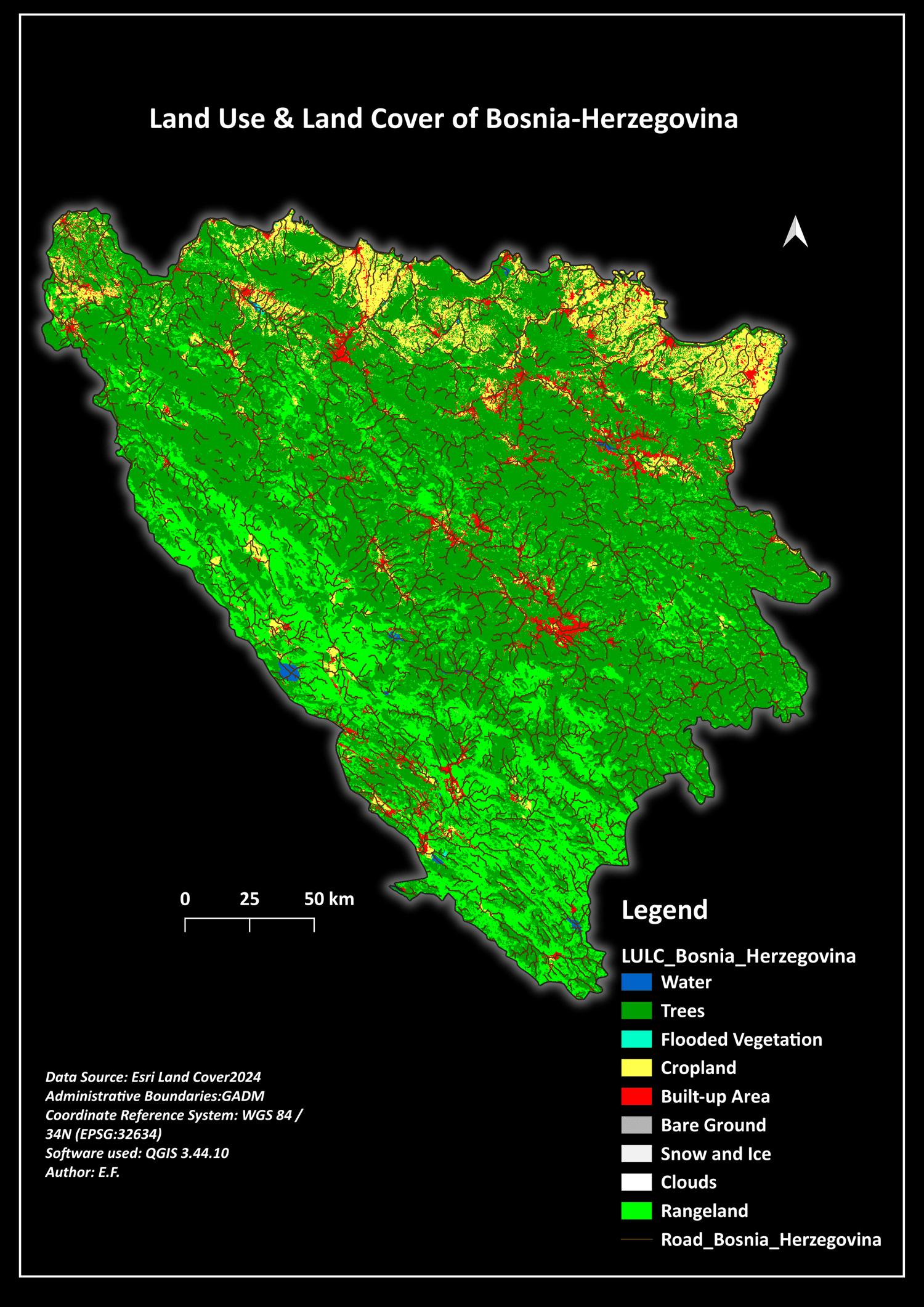
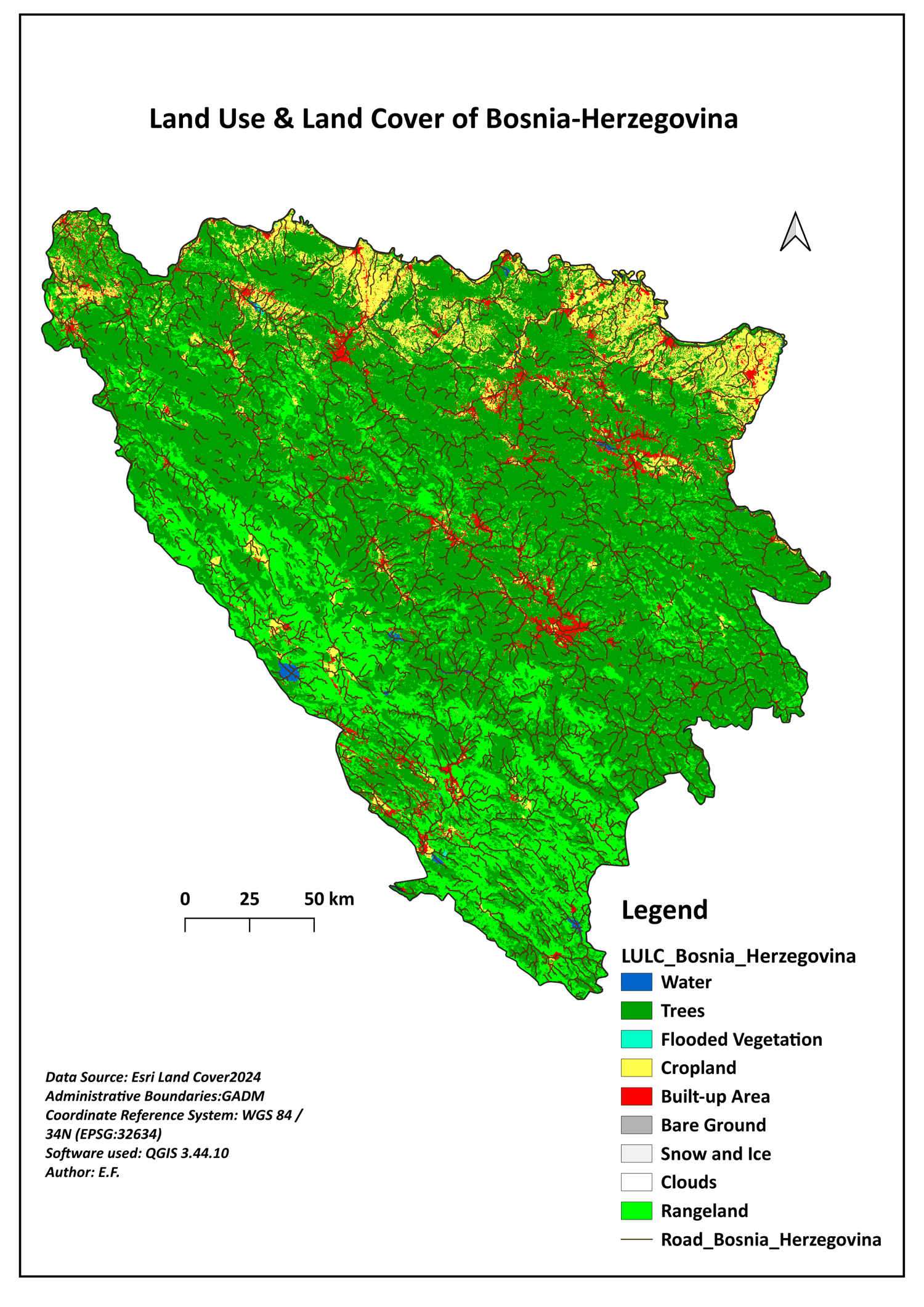
Bosnia and Herzegovina | Professional LULC 2024 GIS Dataset (10m High-Resolution)
Unlock premium spatial insights with the professional Land Use & Land Cover (LULC) 2024 Data Pack for Bosnia and Herzegovina. This high-resolution (10m) dataset is meticulously curated and styled for GIS specialists, environmental engineering researchers, and urban planning consultants who demand production-ready vector and raster infrastructure datasets.
Why choose this dataset?
* 10m Ultra-Precision Pixels: Processed using the latest 2024 Sentinel-2 satellite constellations combined with advanced AI land cover classifications.
* Instant Automated QGIS Symbology (.QML): Includes a plug-and-play layer style file. Simply load it onto your raster layer to immediately generate a standardized, highly professional map legend and color scheme.
* Accurate Transportation Layers: Bundled with up-to-date regional road network vectors and clean administrative boundaries (GADM reference overlays).
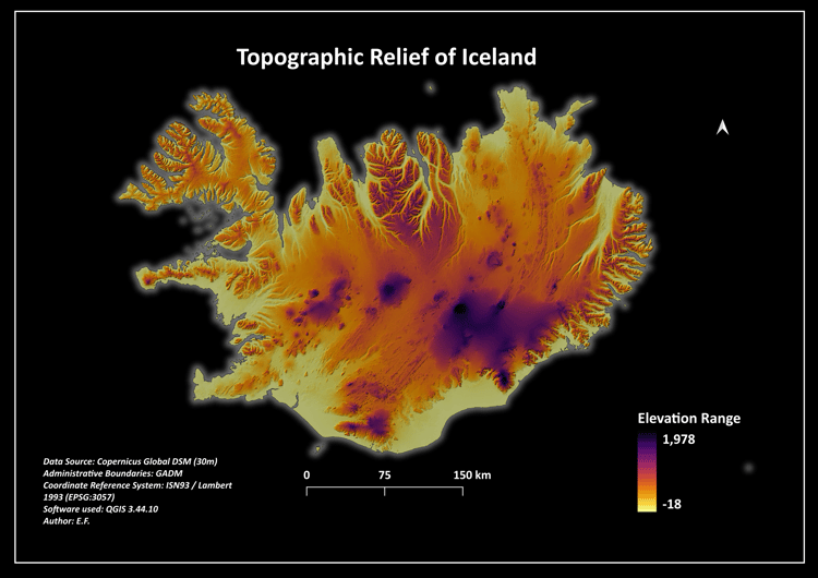
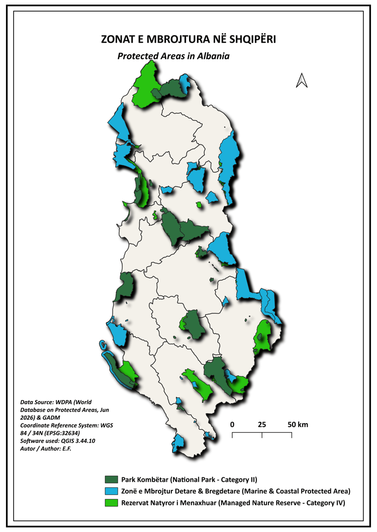
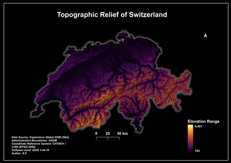
* Dual Cartographic Presentation Layouts: Includes high-contrast, publication-grade 300 DPI map templates in both Academic Light Mode and Modern Dark Mode (formats: PDF and PNG).
* Professional Spatial Referencing: Configured natively in EPSG:32634 (WGS 84 / UTM Zone 34N) for seamless, non-distorted scale computations and rapid regional analysis.
What's inside the premium ZIP package:
1. 01_Maps_PDF_PNG/ -> Print-ready 300 DPI map layouts (Light Academic & Modern Dark configurations).
2. 02_Shapefiles_or_raster/ -> High-fidelity road network files, administrative bounds, and the primary 10m GeoTIFF raster dataset.
3. LULC_Bosnia_Herzegovina_2024.qml -> The official custom automated QGIS symbology and style configuration template.
Ideal for environmental impact assessments, logistics mapping, academic thesis reference data, or cartographic portfolio exhibits. Instant secure download access granted immediately following payment verification!