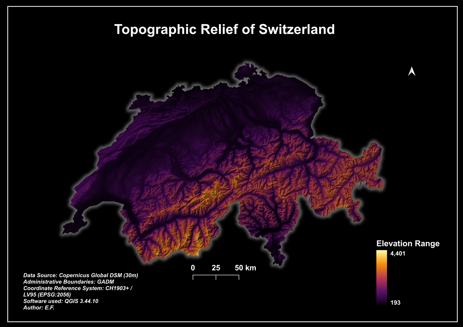
Switzerland 30m Digital Elevation Model (DEM) & Topographic Relief Map Layout
🌍 New Dataset & Map Layout Release: Switzerland Digital Elevation Model (DEM) 🌍
A complete, production-ready Digital Elevation Model (DEM) package for Switzerland. This dataset is derived from the high-quality Copernicus Global DSM (30m spatial resolution) and is precisely projected and clipped to the official national borders.
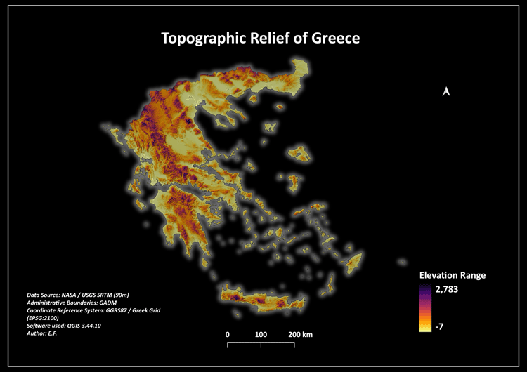
Designed for GIS professionals, students, urban planners, and digital cartographers, this package includes both the raw elevation data and a beautifully styled, print-ready "Dark Mode" topographic wall art layout.
📦 What is included in the secure ZIP folder:
* 01_Maps_Print_Ready/ -> Exported 300 DPI print-ready map layouts (featuring the stunning "Modern Dark Mode" theme with outer glow styling, perfect for portfolios or wall art).
* 02_Geospatial_Data/ -> Raw 30m Copernicus GeoTIFF raster dataset clipped exactly to the national border, alongside reference administrative boundaries (GADM).
* 03_QGIS_Styling/ -> Automated Symbology Layer Sheet (.qml) using the professional "Magma" color ramp combined with hillshade blend configurations for instant 3D-effect rendering in QGIS.
🌐 Technical Specifications:
* Data Source: Copernicus Global DSM (30-Meter Spatial Resolution)
* Coordinate Reference System (CRS): EPSG:2056 (CH1903+ / LV95 - Official Swiss Projection)
* Format: GeoTIFF (Raster) & Shapefile (Vector Boundaries)
* Core Compatibility: QGIS, ArcGIS Pro, Global Mapper, Blender (for 3D mesh generation)
This premium geospatial package offers an excellent foundation for terrain analysis, watershed modeling, or stunning 3D landscape visualizations.
#GIS #RemoteSensing #Cartography #DigitalElevationModel #DEM #QGIS #Switzerland #Topography #SpatialData