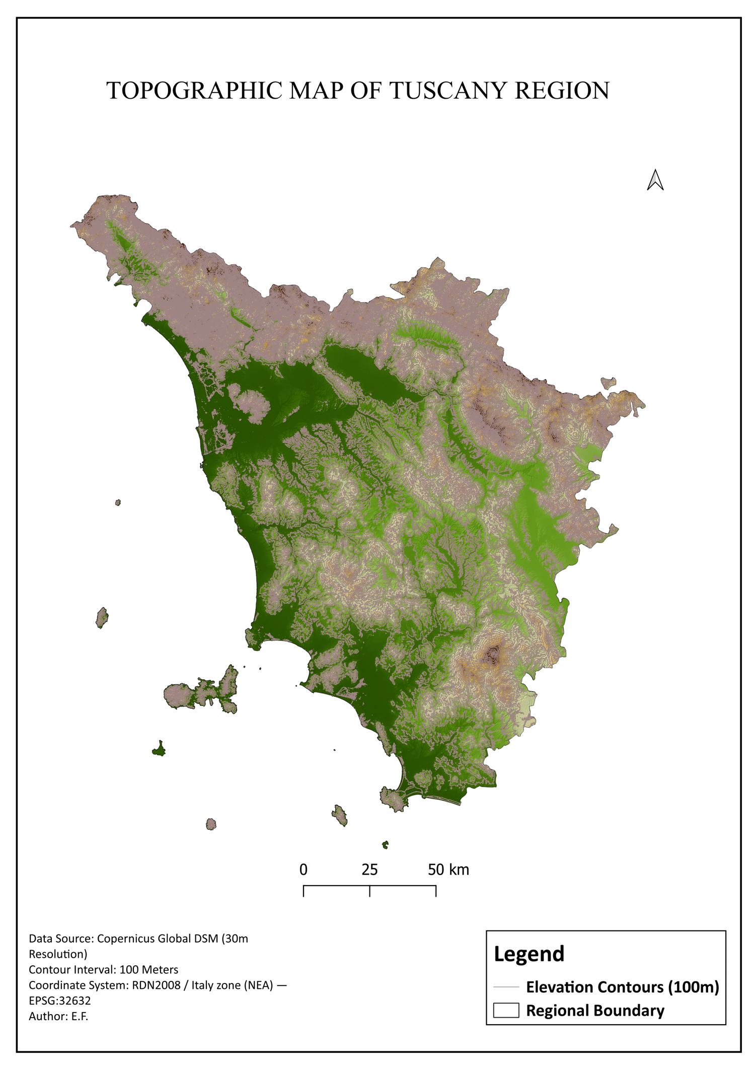
Tuscany Italy Topographic Map Dataset - PDF, PNG & QGIS QML Style Pack
On Sale
$8.00
$8.00
Professional Topographic Map & QGIS Style Asset of Tuscany, Italy
This premium digital GIS asset is designed for geographic data specialists, urban planners, cartographers, and students who require high-precision topographic visualization and ready-to-use styling for the Tuscany region.
Processed precisely within QGIS using high-resolution Copernicus Global DSM (30m) data, this package delivers not only crisp, ready-to-print maps but also the exact professional styling source to jumpstart your own projects.
🌐 Technical Specifications:
- Data Source: Copernicus Global DSM (30-meter spatial resolution)
- Contour Interval: 100 Meters (Precise topographic vector lines)
- Coordinate Reference System (CRS): RDN2008 / Italy zone (NEA) — EPSG:32632
- Coverage: Full administrative boundary of Tuscany, Italy
📦 What You Get (Instant Download - ZIP Archive):
Your purchase includes a single compressed ZIP folder containing the following highly optimized files:
- Tuscany_Topographic_Map.pdf (Vector PDF): Lossless, high-precision vector map layout. Fully scalable and ready for large-format professional printing (A3, A2, A1) without any pixelation or loss of text sharpness.
- Tuscany_Topographic_Map.png (Ultra-HD Image): A high-resolution 300 DPI map export. Perfect for immediate integration into presentations, academic reports, or digital displays.
- Tuscany_Style.qml (QGIS Layer Style File): The exact, professional map styling parameters used to create this layout. Simply apply this .qml file to any Tuscany DEM layer in QGIS to instantly replicate the stunning 3D shaded relief and elegant contour aesthetics.
🚀 Perfect For:
- GIS Professionals & Engineers: Speed up map production with a pre-made premium cartographic style.
- Academic Research: High-quality figures for university geography theses, environmental impact assessments, and regional studies.
- Office Decor: High-end print quality for professional engineering or architectural studios.