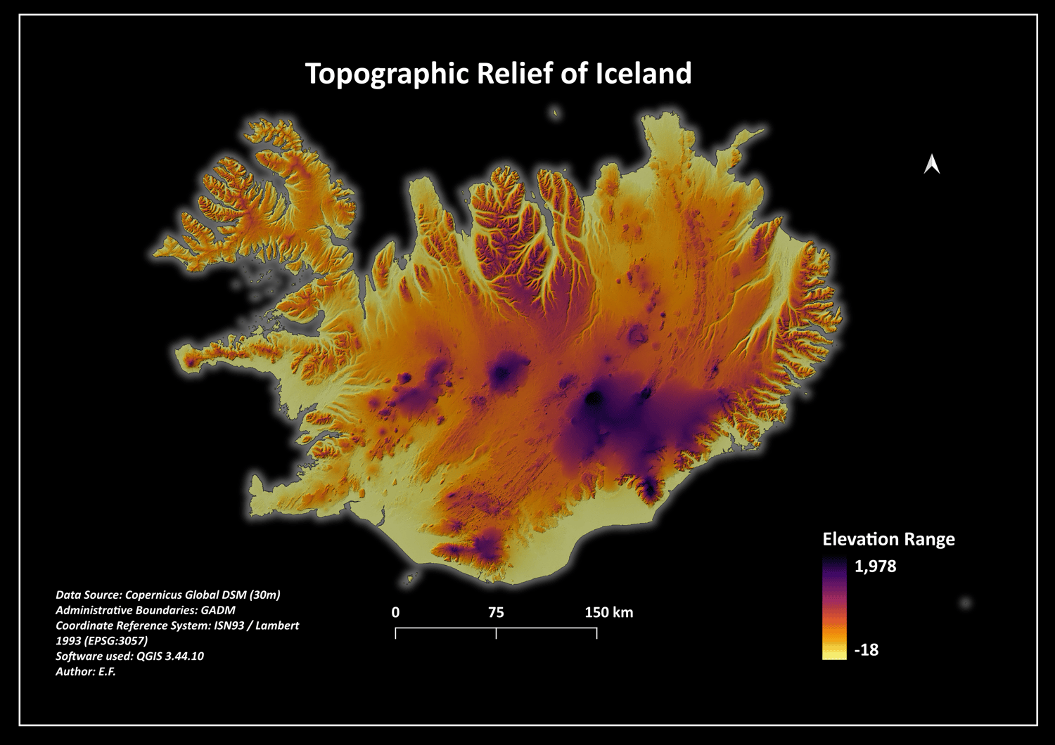
Iceland 30m Digital Elevation Model (DEM) & Topographic Relief Map Layout
🌍 New Dataset & Map Layout Release: Iceland Digital Elevation Model (DEM) 🌍
A premium, production-ready Digital Elevation Model (DEM) package covering the entire volcanic landmass of Iceland. This dataset is sourced from the high-precision Copernicus Global DSM (30m spatial resolution) and has been accurately projected and clipped to the official Icelandic coastline.
Perfect for geoscientists, GIS analysts, 3D artists (Blender users), and digital cartographers looking for a clean topographic dataset with dramatic relief textures.
📦 What is included in the secure ZIP folder:
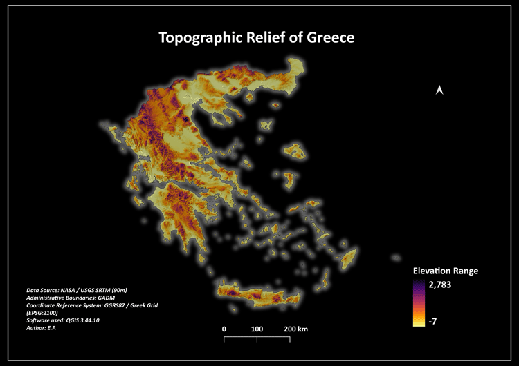
* 01_Maps_Print_Ready/ -> High-quality 300 DPI exported map layouts (featuring the striking "Volcanic Dark Mode" theme with outer glow styling, ready for wall-art portfolios).
* 02_Geospatial_Data/ -> Clean 30m Copernicus GeoTIFF raster dataset clipped exactly to the national coastline, along with reference GADM administrative boundaries.
* 03_QGIS_Styling/ -> Automated Symbology Layer Sheet (.qml) featuring the inverted "Magma" color ramp combined with hillshade blend configurations for instant 3D rendering in QGIS.
🌐 Technical Specifications:
* Data Source: Copernicus Global DSM (30-Meter Spatial Resolution)
* Coordinate Reference System (CRS): EPSG:3057 (ISN93 / Lambert 1993 - Official Icelandic Projection)
* Format: GeoTIFF (Raster) & Shapefile (Vector Boundaries)
* Core Compatibility: QGIS, ArcGIS Pro, Global Mapper, Blender
This geospatial bundle provides a flawless base for volcanic terrain mapping, glacial footprint tracking, or stunning 3D landscape modeling.
#GIS #RemoteSensing #Cartography #DigitalElevationModel #DEM #QGIS #Iceland #Topography #Volcanoes #SpatialData