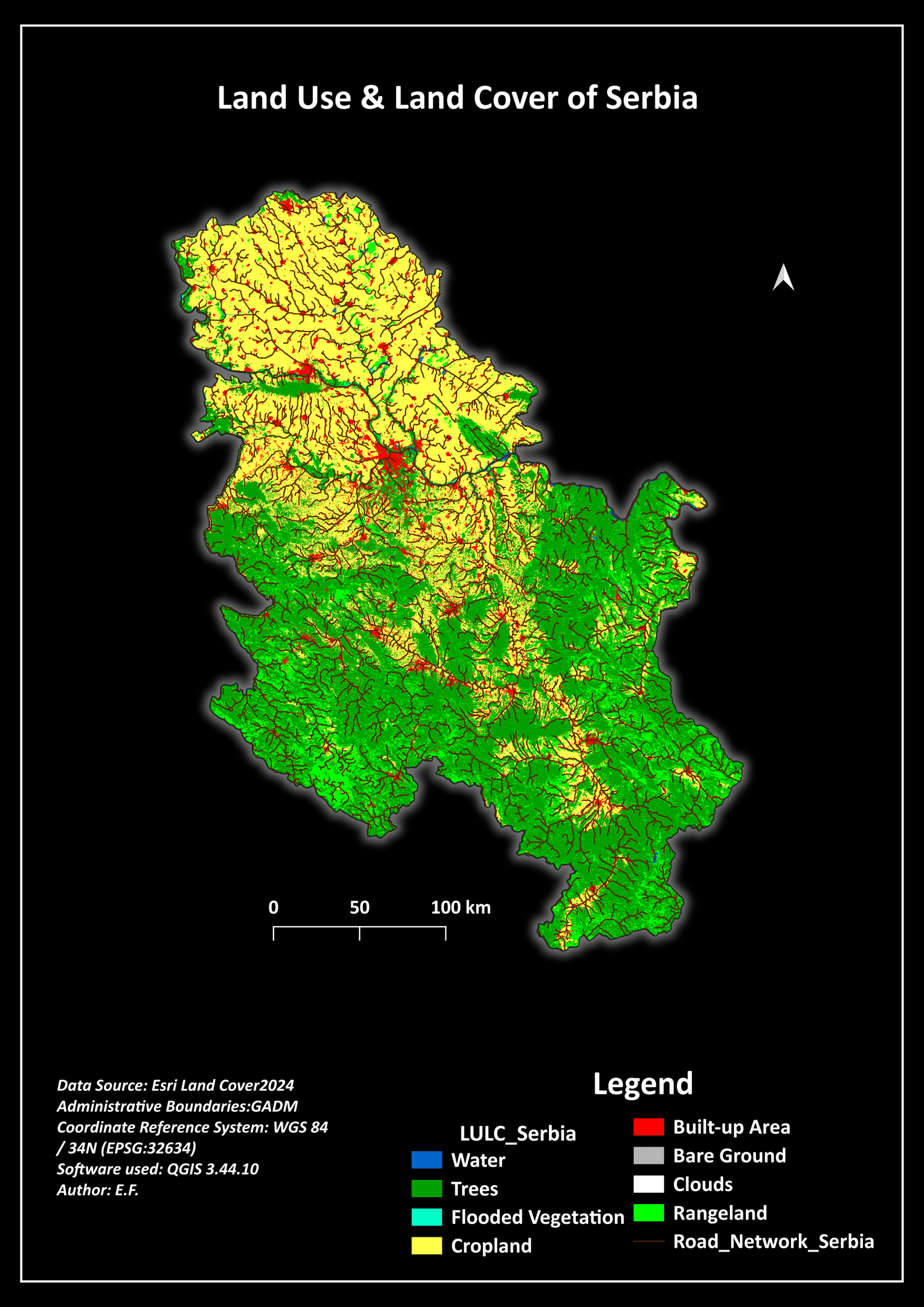
Serbia | Professional LULC 2024 GIS Dataset (10m High-Resolution)
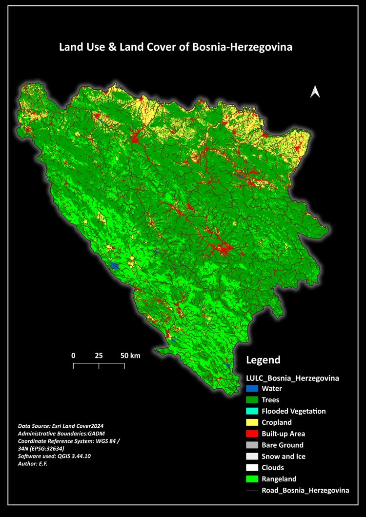
Optimize your geospatial workflows and environmental monitoring with the definitive Land Use & Land Cover (LULC) 2024 Data Pack for Serbia. This high-resolution (10m) dataset is specifically engineered for GIS professionals, urban planners, and environmental researchers who demand absolute accuracy and high-end cartographic style.
Why choose this dataset?
* 10m Pixel Resolution: Built on the latest 2024 satellite AI classification data for elite spatial precision.
* Complete Vector Overlays: Features a highly detailed regional road network and precise administrative boundaries (GADM).
* Automated QGIS Symbology (.QML): Plug-and-play setup. Load the included .qml file to instantly apply industry-standard color coding and full legends.
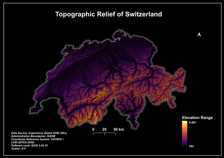
* Presentation-Ready Layouts: Includes premium 300 DPI map layouts in both Academic Light Mode and High-Contrast Modern Dark Mode.
* Standard System Projection: Pre-configured in EPSG:32634 (WGS 84 / UTM Zone 34N) for seamless cross-compatibility.
What's inside the secure ZIP package:
1. 01_Maps_PDF_PNG/ -> Print-ready 300 DPI map layouts (Light & Dark themes).
2. 02_Shapefiles_or_raster/ -> High-detail road vectors, administrative boundaries, and the primary 10m GeoTIFF raster.
3. LULC_Serbia_2024.qml -> The proprietary automated style file for instant QGIS coloring.
Perfect for environmental impact assessments, regional infrastructure development, or advanced academic map design. Get immediate download access instantly after checkout!