
Basilicata Land Use & Land Cover (LULC) 2024 - 10m High-Res GIS Dataset & Maps
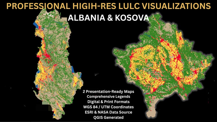
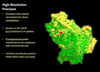
Enhance your environmental analysis, urban planning, or cartographic projects with this premium, high-resolution Land Use & Land Cover (LULC) geospatial package for the Basilicata region, Italy.
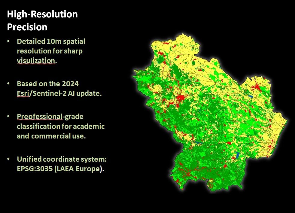
This dataset is based on the latest 2024 Esri/Sentinel-2 10-meter resolution global land cover data, processed and styled specifically for seamless integration into professional GIS workflows.
---
### 🌟 WHAT MAKES THIS PACK PREMIUM? (Plug & Play Style)
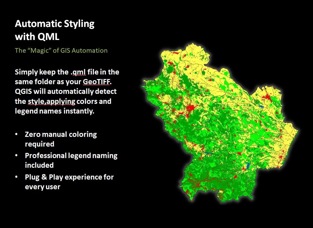
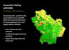
No more wasting hours setting up classification values and matching HEX color codes! This package includes a professionally configured .QML style file.
If you keep the .qml file in the same directory as your layer, QGIS will automatically load the exact international LULC color palette and proper class names (Water Bodies, Trees, Crops, Built-up Area, etc.) the second you drop the file into your canvas!
---
### 📦 WHAT'S INSIDE THE ZIP FILE?
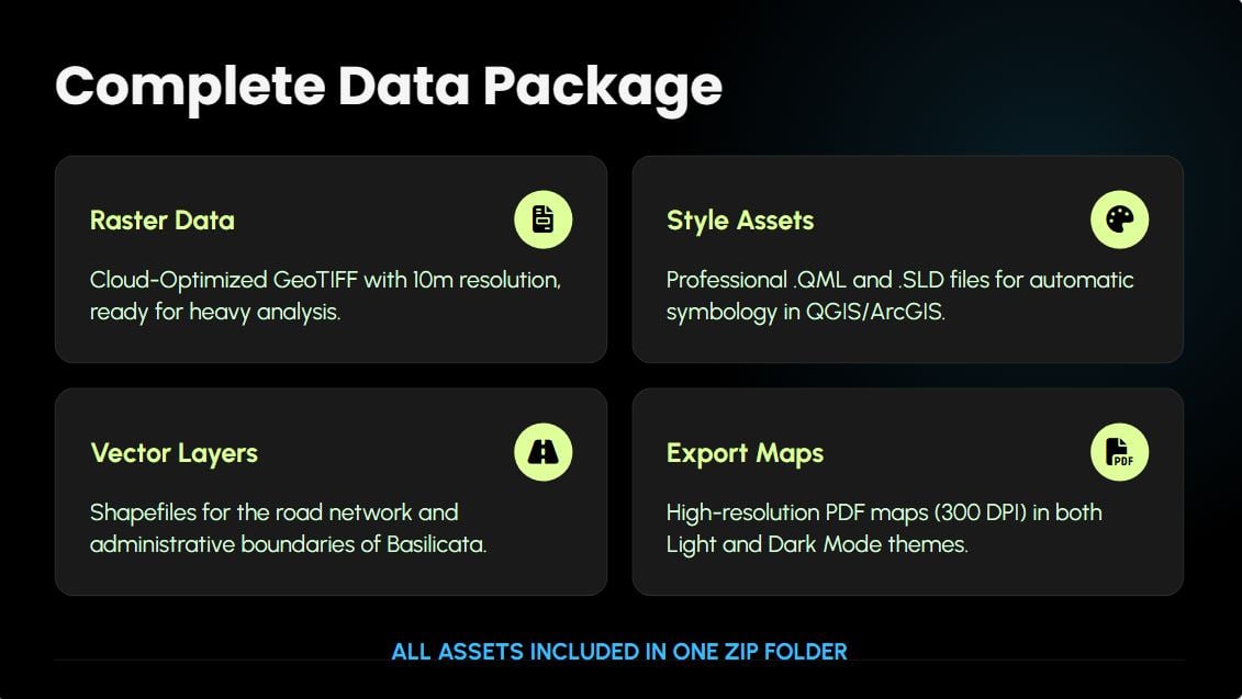
When you download this digital product, you will get an organized archive containing:
1. 🗺️ RASTER DATA
• LULC_Basilicata_2024.tif: High-resolution (10m) GeoTIFF clipped perfectly to the Basilicata regional boundary.
• Projected Coordinate Reference System: ETRS89 / LAEA Europe (EPSG:3035) – ideal for accurate continental calculations.
2. 🎨 PROFESSIONAL STYLING ASSETS
• LULC_Basilicata_2024.qml: Automatic QGIS Symbology style sheet.
• LULC_Basilicata_2024.qmd: Layer metadata style for instant legend translation.
3. 🛣️ VECTOR LAYERS (Shapefiles)
• BASILICATA Boundary: Clean administrative polygon vectors.
• Road_Network_Basilicata: A highly detailed road network overlay layer to add structural context to your geographical layouts.
4. 🖼️ READY-TO-PRINT PDF MAPS (300 DPI)
• Light Mode Theme Map (Print-ready, elegant cartographic setup).
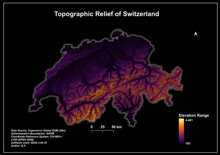
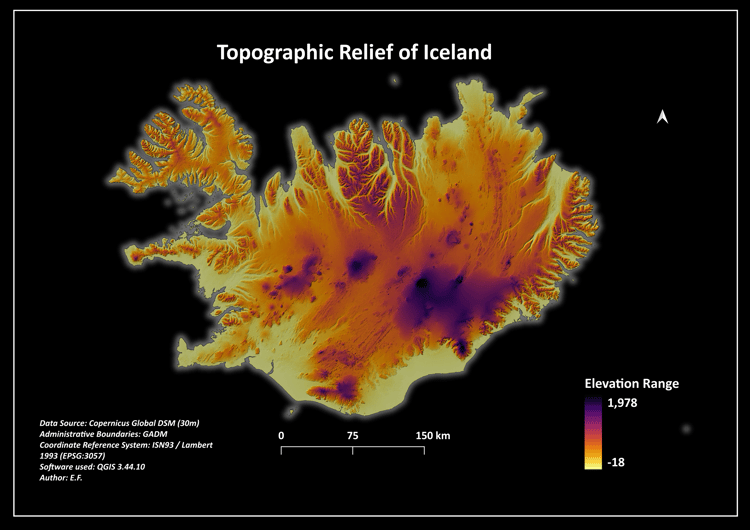
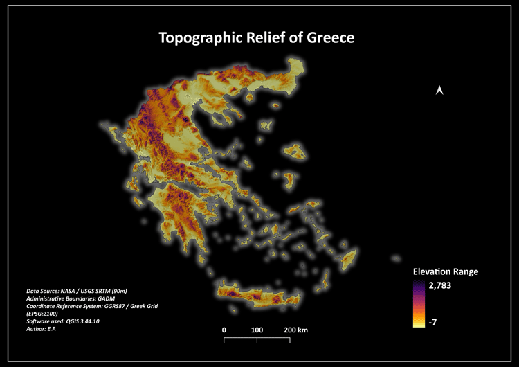
• Dark Mode Theme Map (High-contrast, stunning modern presentation layout).
---
### 👥 WHO IS THIS FOR?
• GIS Specialists & Cartographers looking for clean, ready-to-use regional datasets.
• Environmental Engineers & Urban Planners conducting spatial analysis.
• University Students needing calibrated, styled data for academic thesis maps.
Get lifetime access to this unified dataset and skip the tedious preprocessing work entirely!