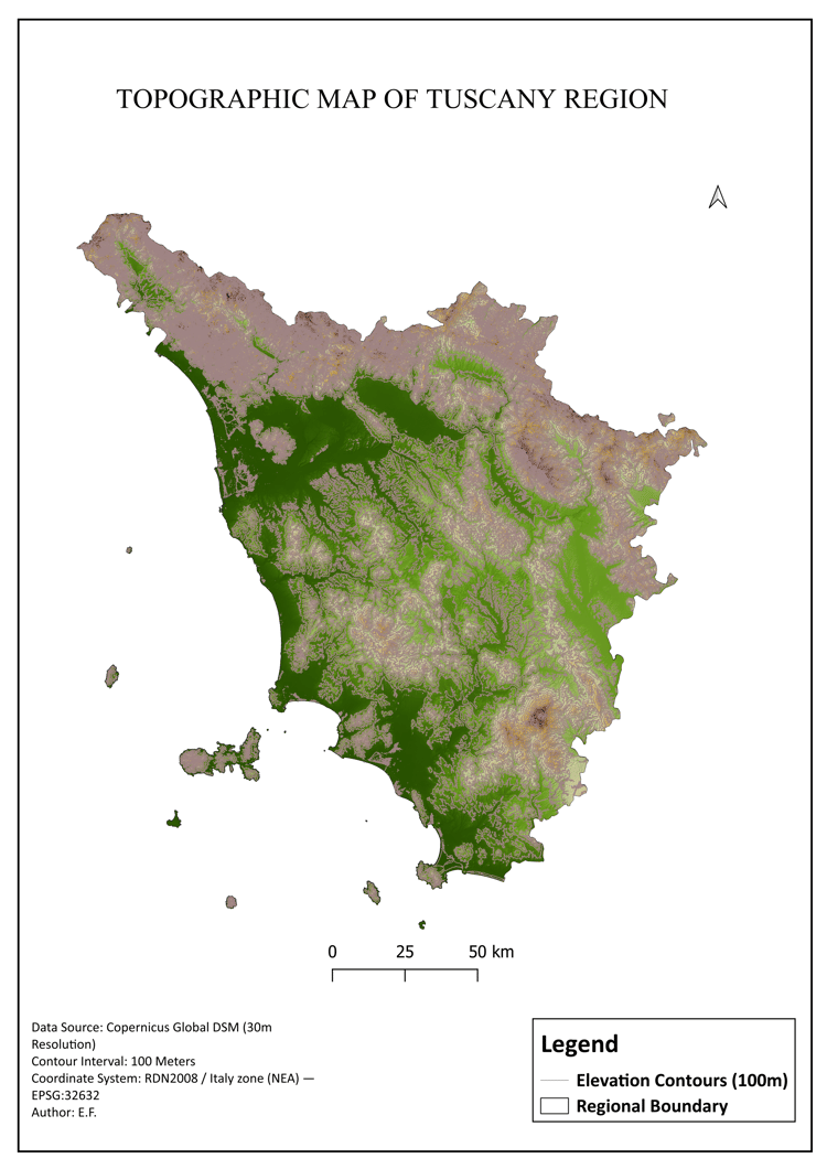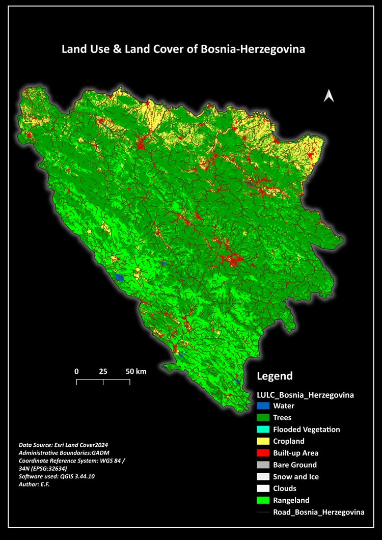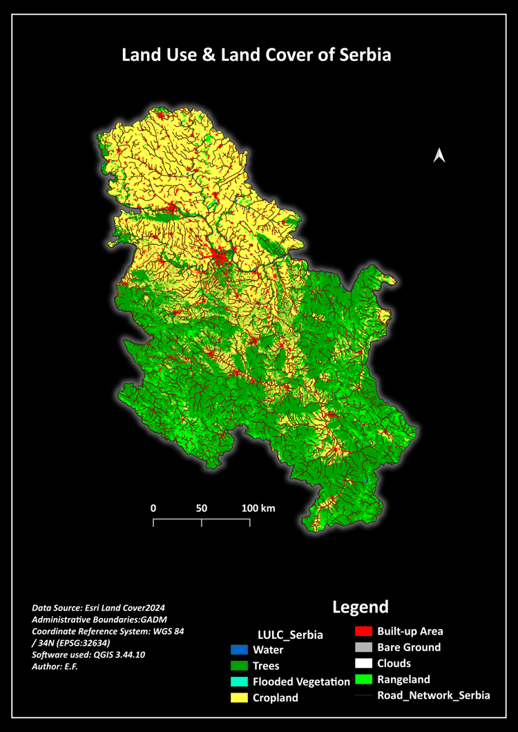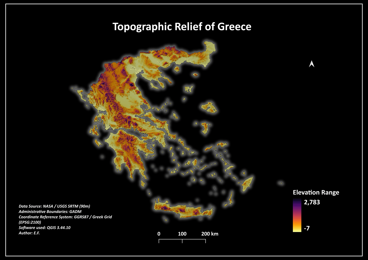
Greece 90m Digital Elevation Model (DEM) & Topographic Relief Map Layout
🌍 New Release: Greece Digital Elevation Model (DEM) & Topographic Map Bundle 🌍
Explore the legendary mountainous terrain and scattered islands of Greece with this high-contrast topographic data package. Sourced from clean SRTM radar telemetry, this dataset maps everything from the soaring peaks of Mount Olympus to the intricate coastlines of the Aegean and Ionian seas.
Perfect for spatial analysis, landscape design, or high-end wall-art cartography portofolios.
📦 What is included in the secure ZIP folder:
* 01_Maps_Print_Ready/ -> Stunning 300 DPI map layouts featuring the custom "Aegean Dark Mode" neon-magma design.
* 02_Geospatial_Data/ -> Clean SRTM GeoTIFF raster dataset clipped perfectly to the Greek national boundaries, including vector shapefiles.
* 03_QGIS_Styling/ -> Custom .qml layer style sheet containing inverted color scaling and automated Hillshade Multiply settings for instant setup.
🌐 Technical Specifications:
* Data Source: NASA / USGS SRTM (90m Spatial Resolution)
* Coordinate Reference System (CRS): EPSG:2100 (GGRS87 / Greek Grid - Official National Projection)
* Formats: GeoTIFF (Raster) & Shapefile (Vector)
This bundle provides a flawless digital base for Greek terrain analysis or professional portfolio creation.