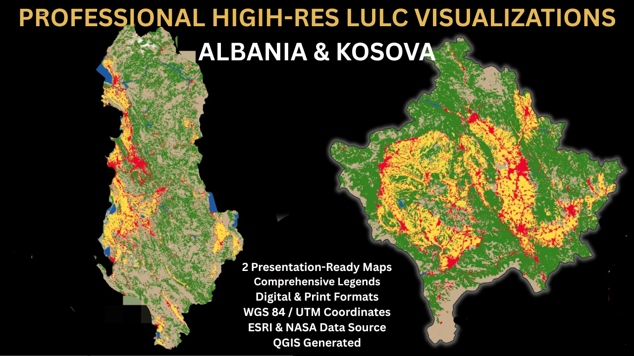
Albania & Kosova LULC High-Res Map Pack (2026)
High-quality,professionally designed Land Use and Land Cover ( LULC) maps for Albania and Kosova.This map pack is ideal for environmental researches,students,urban planners,or GIS professionals looking for accurate,presentation-ready spatial data visualizations.
Technical Details & Data Sources:
- Source Data:Esri Land Cover (2024 global dataset) & GADM Administrative Boundaries
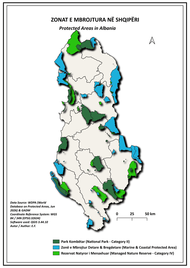
- Spatial Reference System: WGS 84 / UTM zone 34N (EPSG:32634)
- Software Used: QGIS 3.44
What is included in the download pack:
- Albania LULC High-Resolution Map ( Dark Mode / Elegant Aesthetic)
- Kosova LULC High-Resolution Map (Dark Mode / Glowing Border Aesthetic )
- Mapped LULC Classes Included:
-Water Bodies ( Open water,marine,and lagoon footprint)
-Forest & Tree Cover
-Wetlanda / Flooded Vegetation
-Cropland ( Agricultural fields )
-Urban / Built-up Area ( Infranstucture and community centers )
-Bare Land
- -Rangeland
File Formats:
High-resolution images ( ready for digital integration or presentations)
Print-ready formats
Save hours of data processing and styling in QGIS. Get instant access to these professional thematic visualizations today!