
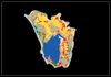






Narta Lagoon LULC Mapping & GIS Data
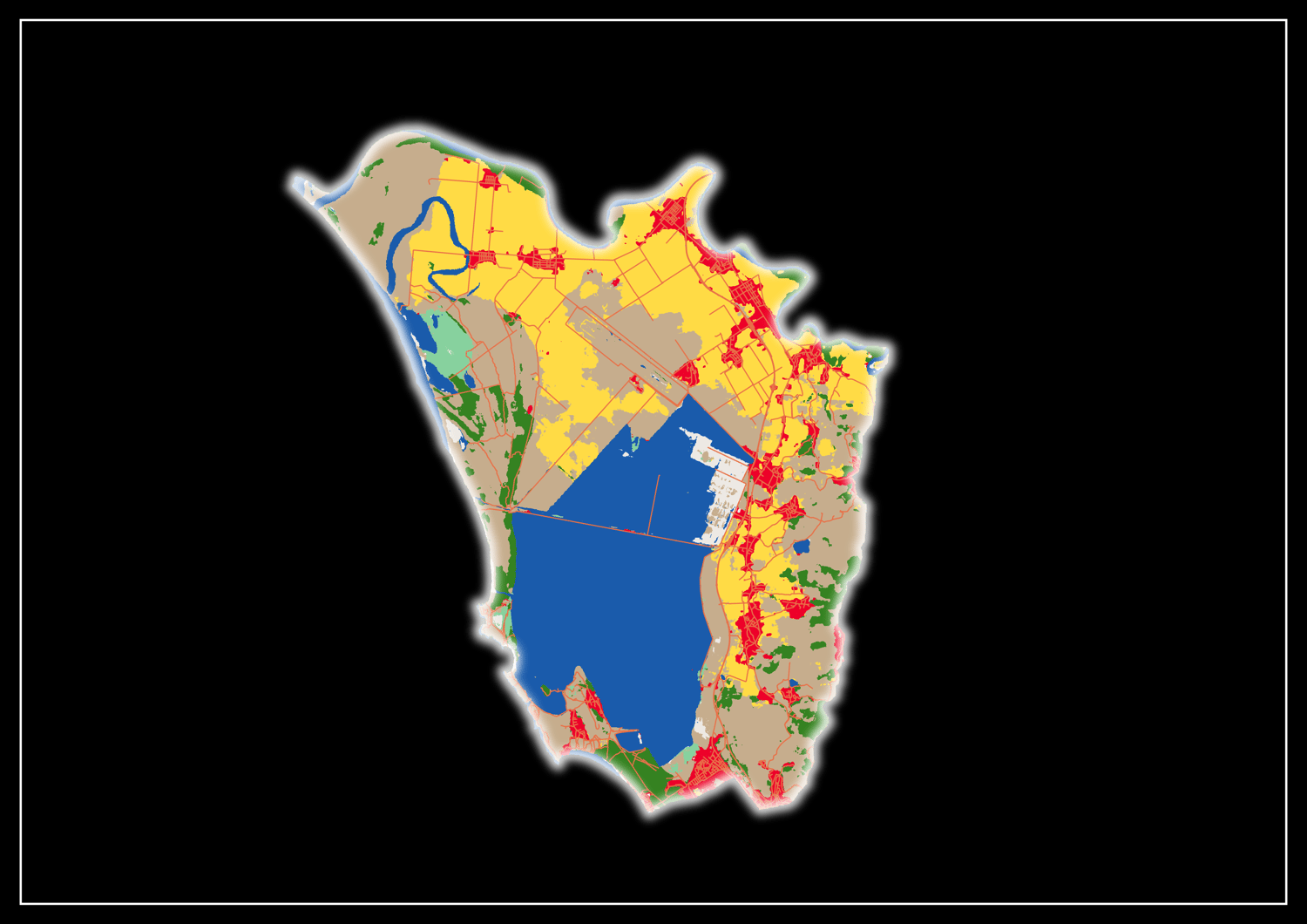
A comprehensive,professionally styled GIS Mapping Pack focusing on the Vjosa-Narta Protected Landscape ( Vlora ,Albania), Designed Specifically for environmental scientists, urban planners,GIS researchers,and students who require high-quality thematic maps and presentation-ready geographic data.
- What is included in your download:
- 01_Maps_PDF_PNG
-Narta Lagoon LULC Map - Standard Academic Style ( High-Res PDF & PNG)
-Narta Lagoon LULC Map- Cyberpunk Dark Edition ( High-Res PDF & PNG)
-02_Shapefiles_or_raster
-High - Resolution Land Use & Land Cover (LULC) Raster Layer ( .tif )
-Complete Road Network Vector Layer ( .shp and all component files )
-Study Area Official Boundary Layer ( .shp and all component files )
-QGIS Layer Style File ( .qml ) for one-click styling configuration.
- Technical Specification & Metadata:
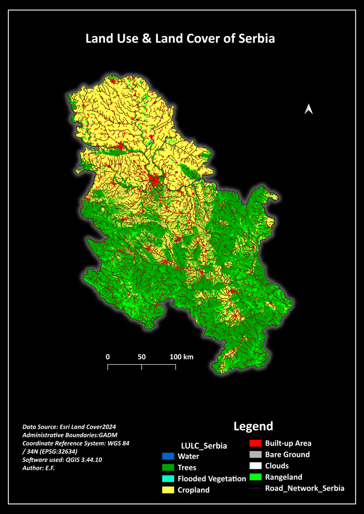
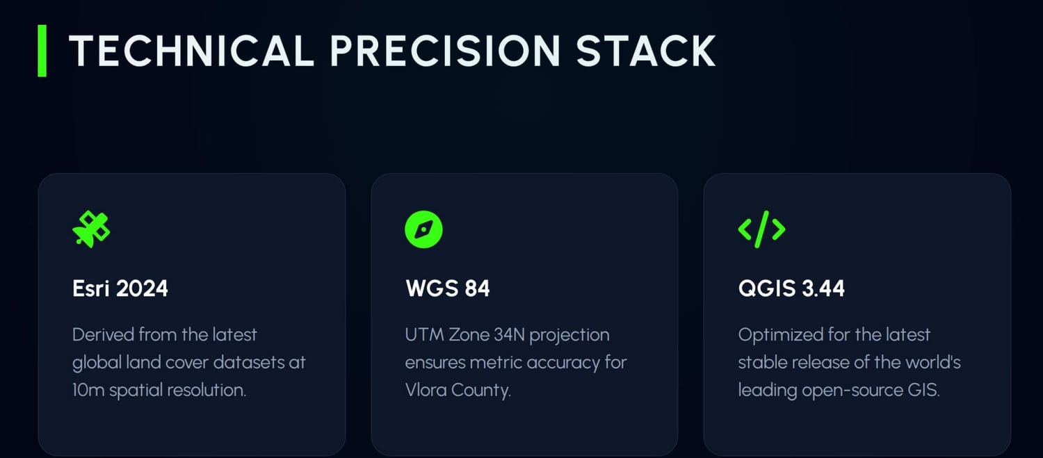
-Data Source: Esri Land Cover ( 2024 Global Dataset via Sentinel-2 imagery )
-Spatial Resolution: 10 Meters
-Administrative Boundaries:GADM Database
-Coordinate Reference System:( CRS): WGS 84 / UTM zone 34N ( EPSG:32634) - geometrically corrected and topologically synchronized.
-Softwear compatibility: Optimized for QGIS 3.44 and ArcGIS Pro.
- Mapped LULC Classes Included:
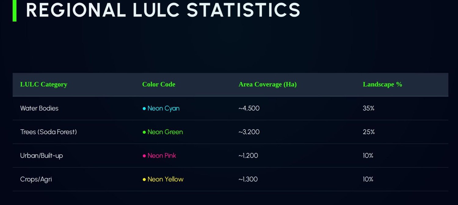
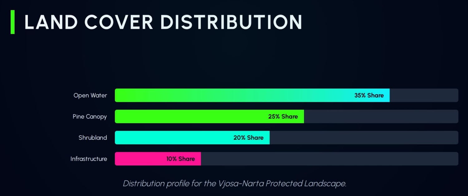
-Water Bodies ( Open water,marine,and lagoon footprint)
-Forest & Tree Cover
-Wetlanda / Flooded Vegetation
-Cropland ( Agricultural fields )
-Urban / Built-up Area ( Infranstucture and community centers )
-Bare Land
-Rangeland