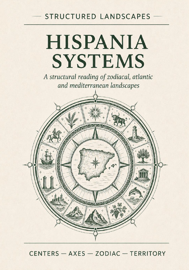
Hispania Systems. A Structural Reading of Zodiacal, Atlantic and Mediterranean Landscapes
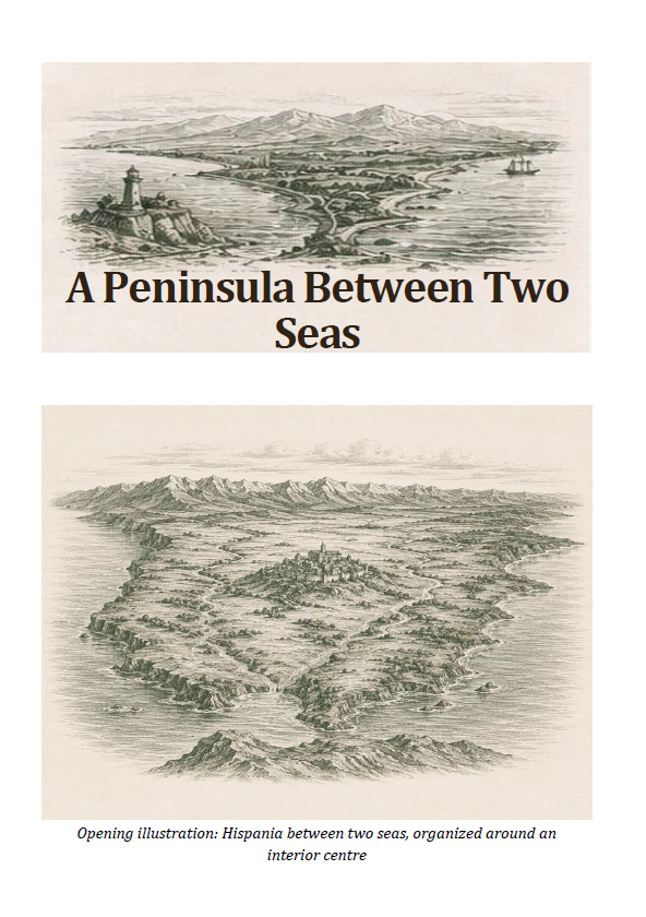
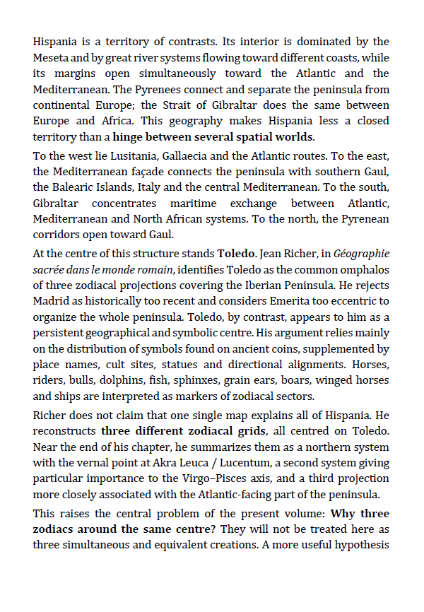
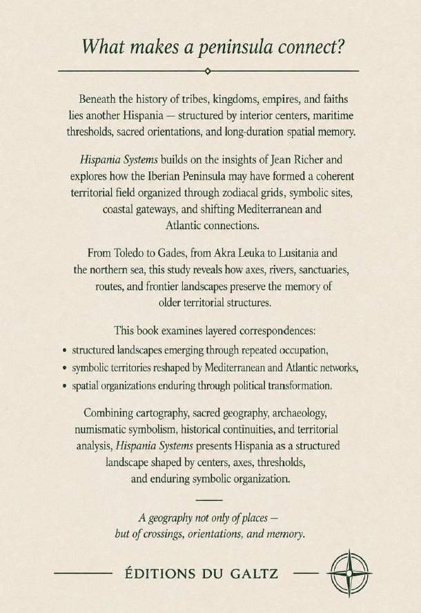
A peninsula reoriented. Between the Atlantic and the Mediterranean, between Europe and Africa, Hispania appears not as a closed territory but as a system of centers, axes, sacred landscapes and changing horizons. Starting from Jean Richer’s three zodiacal projections centered on Toledo, this book expands the investigation through numismatics, archaeology, archaeoastronomy, Bronze Age networks and the long historical transformations of the peninsula. What begins as a search for a territorial zodiac gradually reveals something larger: Hispania as an interface between worlds.
What this book reveals
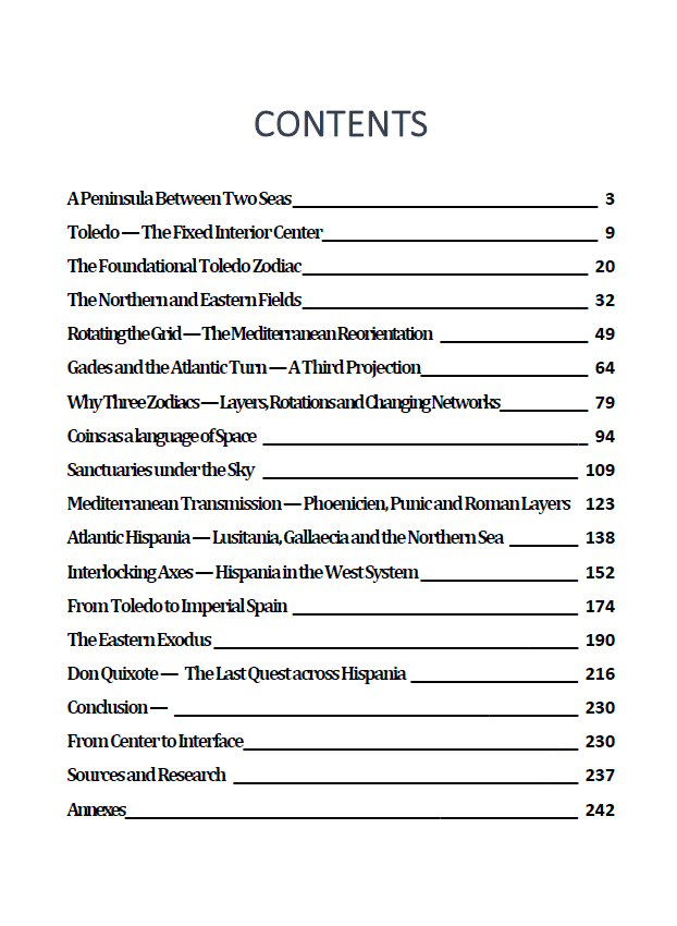
From Toledo to Gades, from Akra Leuca to the Atlantic estuaries, from the Pyrenees to North Africa, the territory is explored through successive structural layers. The book examines:
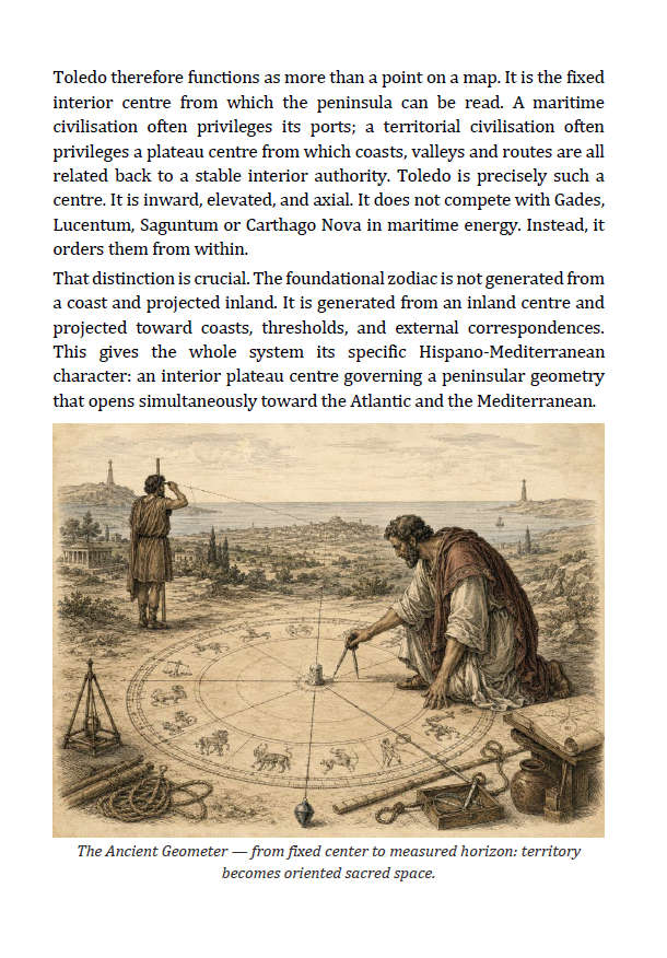
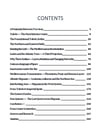
• Toledo as the fixed interior center of three territorial projections
• the Foundational Toledo Zodiac and its major axes
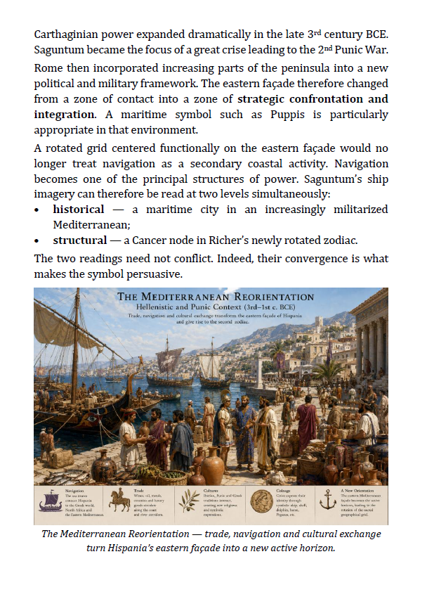
• the Mediterranean reorientation of the same territorial field
• the Atlantic projection centered on Gades
• coins as a language of territorial symbols
• sanctuaries aligned with horizons, solar cycles and celestial events
• Phoenician, Punic, Greek and Roman networks of transmission
• Lusitania, Gallaecia and the Atlantic Bronze Age corridor
• connections with Gaul, Italy, North Africa, Brittany and Ireland
• the survival and recomposition of territorial structures from Visigothic Toledo to Imperial Spain
• an exploratory west-to-east journey of the Ibri, the Ark and sacred memory
• Don Quixote as the final inner journey across the landscape
The same territory can be read more than once.
Core Insight
The territory of Gaul may be read as more than a collection of historical regions. It functions as a structured landscape where rivers, routes, mountains, cities and sacred places participate in a larger territorial logic.
The question is not: "Where are the regions?"
but: "How is the territory organized?"
Through hundreds of maps, diagrams, illustrations and case studies, this volume reconstructs a territorial system extending across centuries of cultural transformation.
Inside the Book
✔ 268 pages
✔ Extensively illustrated with maps, diagrams, reconstructions and comparative landscapes
✔ Three Toledo-centered zodiacal readings
✔ Numismatic symbols mapped across ancient Hispania
✔ Archaeological and archaeoastronomical evidence from Iberian sanctuaries
✔ Bronze Age Atlantic and continental exchange networks
✔ Phoenician, Punic, Greek and Roman transmission layers
✔ Connections with Gaul, Italy, North Africa and the Atlantic world
✔ A chronological framework from the Bronze Age to Imperial Spain
✔ A structured Atlas of Sites with coordinates, roles, symbols and references
✔ A clearly identified exploratory section on the Ibri, the Ark and the Eastern Exodusn
A Different Way of Seeing Territory
This is not a conventional history of Spain.
It is not an archaeological atlas.
It is not an attempt to present Jean Richer’s territorial zodiacs as established archaeological fact.
It is a structural investigation bringing geometry into dialogue with coins, sanctuaries, maritime routes, Bronze Age exchange, celestial orientations and historical change.
The evidence is deliberately separated from the hypothesis.
Measured sanctuary alignments are archaeological evidence.
Atlantic exchange corridors are archaeological evidence.
The three giant Toledo-centered zodiacs remain structural reconstructions.
Between them lies the central field of investigation.
A geography of centers.
A geography of rotations.
A geography of interfaces.
Format: PDF
Length: 268 pages
Series: Structured Landscapes — Symbolic Landscapes Collection. Centers. Axes. Zodiac. Territory.