Hidden Cheshire
Seven-town map collection · 14 PDF books · 66 historic maps
£49.99 — save £19.94 against buying the seven editions separately.

Seven-town map collection · 14 PDF books · 66 historic maps
£49.99 — save £19.94 against buying the seven editions separately.
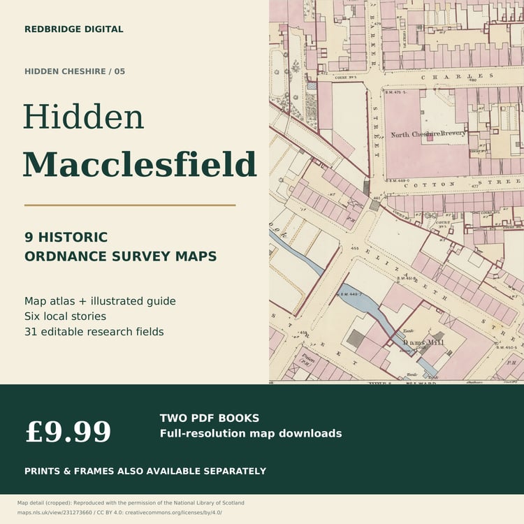
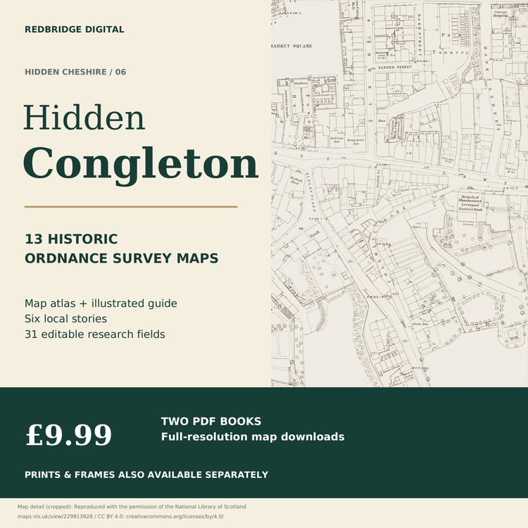
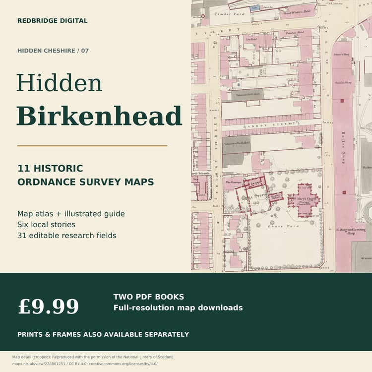
Explore seven places through genuine historic Ordnance Survey maps and original illustrated research guides. This selected digital collection brings together Chester, Crewe, Nantwich, Northwich, Macclesfield, Congleton and Birkenhead.
Get all seven editions for £49.99. Bought separately at £9.99 each, the seven editions total £69.93: a saving of £19.94.
WHAT IS INCLUDED
Seven map atlases and seven illustrated research guides: 14 PDF books containing 66 complete historic source sheets and 234 pages in total. The seven guides provide 217 blank editable research fields across the collection.
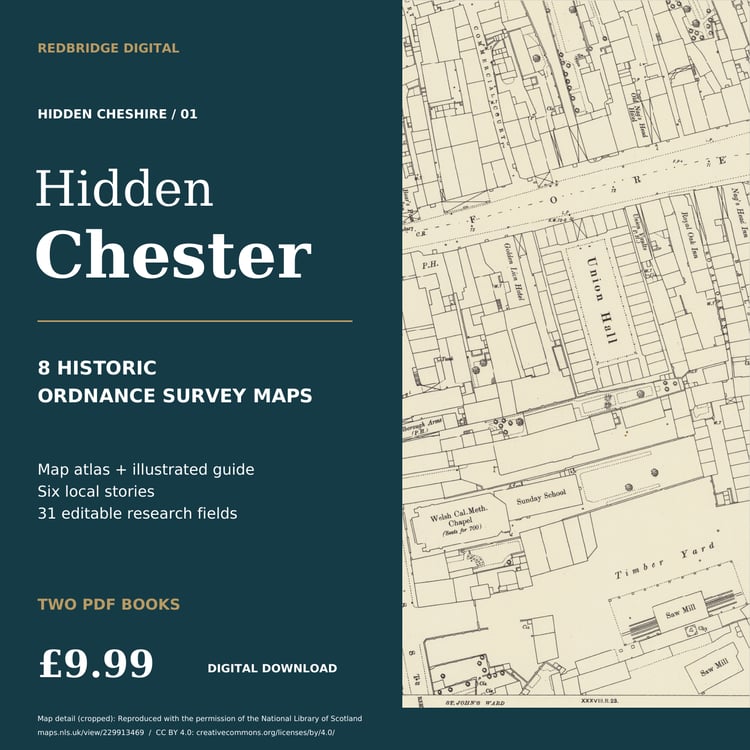
Chester - 8 historic sheets | 12-page atlas + 20-page illustrated guide
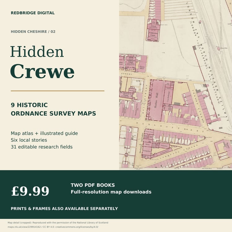
Crewe - 9 historic sheets | 13-page atlas + 20-page illustrated guide
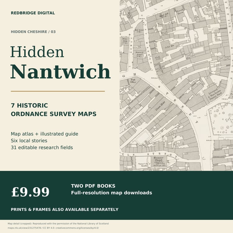
Nantwich - 7 historic sheets | 11-page atlas + 20-page illustrated guide
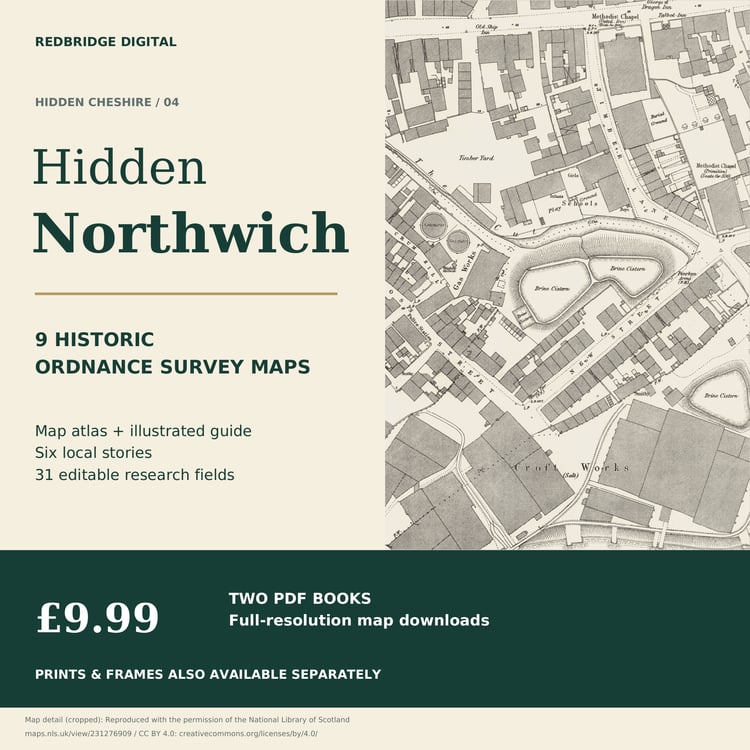
Northwich - 9 historic sheets | 13-page atlas + 20-page illustrated guide
Macclesfield - 9 historic sheets | 13-page atlas + 20-page illustrated guide
Congleton - 13 historic sheets | 17-page atlas + 20-page illustrated guide
Birkenhead - 11 historic sheets | 15-page atlas + 20-page illustrated guide
STREETS, INDUSTRY AND LOCAL STORIES
Explore markets and civic spaces, railway works and stations, salt and silk industries, rivers, gardens, parkland, docks and shipbuilding. Original local stories and map-reading methods help you use the plans alongside archive records. Each guide uses genuine cropped map details and includes its research references.
WHAT THE COLLECTION COVERS
This is a selected seven-town collection of places associated with historic Cheshire. Coverage varies by edition and sheet; it does not cover every street in the seven towns or the whole of historic or modern Cheshire. Birkenhead's historic Cheshire sheet references reflect the period of the original surveys.
READ THE DATES ON EACH SHEET
The books retain their individual survey, publication, approximate catalogue and later-printing dates. The guide captions explain relevant date caveats; a later printing note is not automatically a new survey. The collection is drawn from different dates rather than one county-wide survey.
ORIGINAL DETAIL, LARGE FILES
The full-resolution PDFs retain the historic map images without reducing or recompressing them. Original margins, fading, marks and source colours remain. The fourteen PDF books total approximately 1.42 GB. Download fully before opening and allow enough storage space. File-size labels may differ between devices.
EDITABLE RESEARCH PAGES
Each guide includes 31 blank editable PDF fields for your own observations and follow-up research. Use a PDF reader that supports forms, keep a separate working copy and test that a short entry survives closing and reopening. App support varies.
ON IPAD OR IPHONE
After a PDF download opens, tap Share, choose Save to Files, select a folder and tap Save. Reopen the saved copy from Files to check it is there.
ACCESS YOUR BOOKS
After purchase, your Payhip account lists the seven included editions. Open each edition to download its map atlas and illustrated research guide.
DIGITAL BOOKS
This purchase contains PDF books. Paper prints and framed maps are sold separately; it includes no printed atlas, frame or physical delivery.
The price covers the selection, layout and original research guides, not exclusive ownership of the source cartography. Historic maps are not current navigation or property-boundary records.
Redbridge Digital - Historic Maps
Questions: info@redbridgestudios.com
Here are all the products that are included in your bundle