

A 995 mb low will affect Oklahoma, Kansas, and Texas on April 14, 2023. Hail, wind, and tornadoes will all be possible with this system. Non-polar CH4 release is expected from tree stems, and shallow water systems such as creeks, rivers, and lakes. N...
Read More
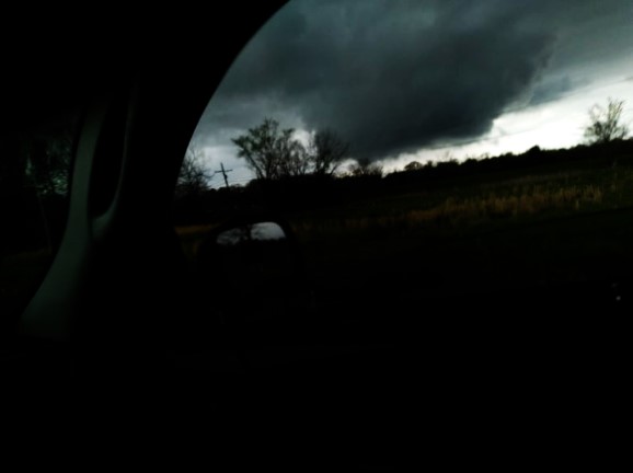
Severe Weather Possible in the Southeast - Payhip
Read More
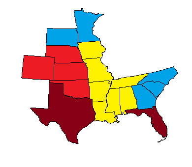
SONFIRE ALMANACS LLC - Ground Tornado Forecast Parameter
Read More
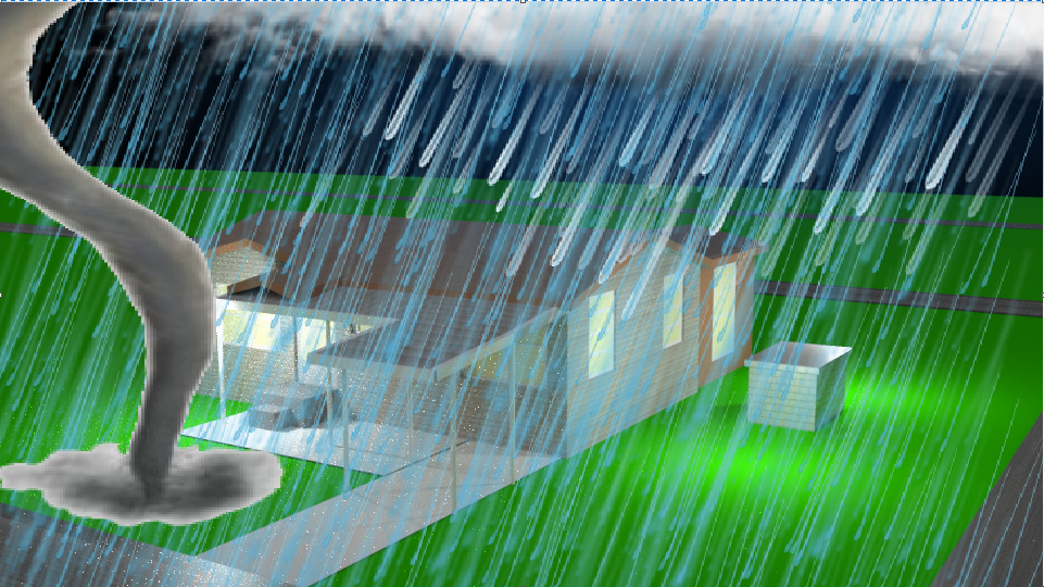
On March 29, 2023 called the National Weather Service in Memphis TN, and forecast a tornado north of Tyro Mississippi to a forecaster at the office. Named it an EF-2 on the Enhanced Fujita Scale. The tornado did hit March 31, 2023, and I called last ...
Read More
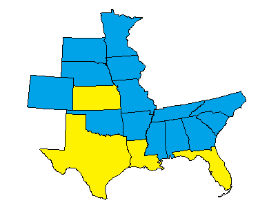
A robust storm system will affect the Southern Plains, south-central states, and Northern Plains April 12 - 15 2023. Hail, wind, and tornadoes will all be possible with this system. Non-polar CH4 release is expected from tree stems, and shallow water...
Read More
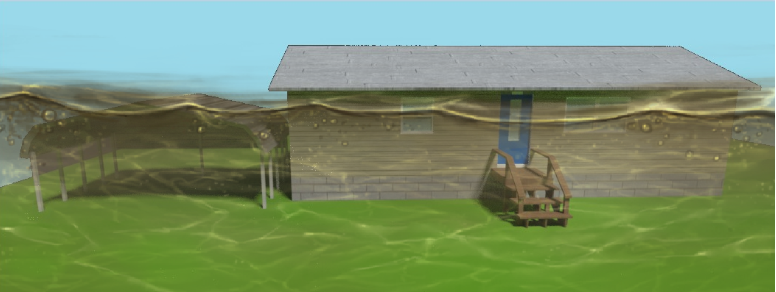
WAHT Hurricane model indicates tonight that a Cyclone is heading for Pardoo, Shire East of Pilbara, and locations near these areas in Australia. A major cyclone is expected to impact the region in a few days with tornado potential, major storm surge,...
Read More
Tonight not much difference from yesterday concerning the storm system for next week when it comes to surface measurements. A robust storm system will affect the Southern Plains, south-central states, and Northern Plains April 12 - 15 2023. Hail, win...
Read More
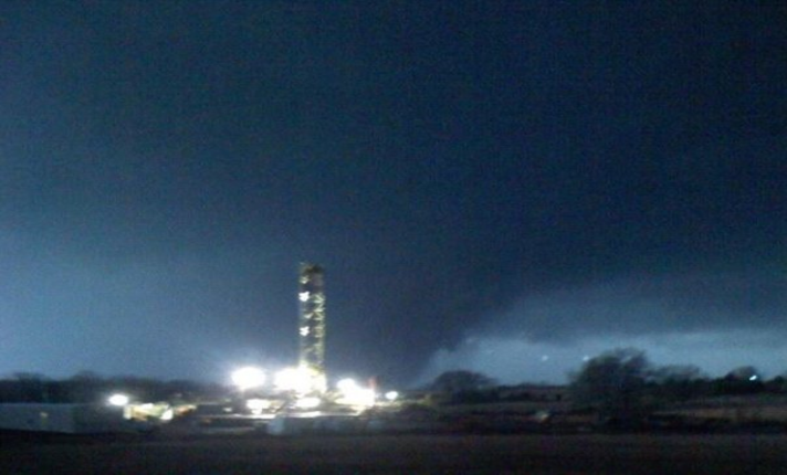
(1) SONFIRE ALMANACS LLC on Twitter: "WALT MODEL 2 INDICATES AN EF-4 TORNADO NEAR EARLE ARKANSAS." / Twitter Tornado was rated EF-3 at 165 mph winds and the WALT Model 2 had it at EF-4 which is 1 mph faster potential.
Read More
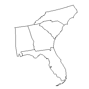
A storm system will move across the Southeast United States on April 12 - 14 2023. Hail, wind, and isolated tornadoes will be possible. Non-polar CH4 release from shallow beaches along the Gulf of Mexico and slight NO3 tightening within the updraft ...
Read More
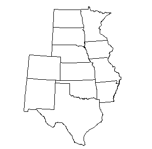
A strong storm system will affect the Southern Plains, south-central states, and Northern Plains April 12 - 15 2023. Hail, wind, and tornadoes will all be possible with this system. Non-polar CH4 release is expected from tree stems, and shallow water...
Read More
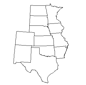
A strong storm system will affect the Southern Plains, south-central states, and Northern Plains April 12 - 15 2023. Hail, wind, and tornadoes will all be possible with this system. Non-polar CH4 release is expected from tree stems, and shallow water...
Read More
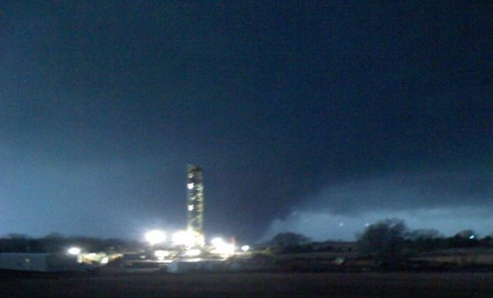
A dangerous storm system will move across the Plains, Midwest, Middle Mississippi Valley, and portions of the Ohio Valley Tuesday into Wednesday. Positive polarity will be widespread in H2O and nonpolar polarity NO3 associated with H2O within rainfal...
Read More

(1) SONFIRE ALMANACS LLC on Twitter: "WALT Model 2 TORNADO EMERGENCY NEAR NUGENT IOWA. EF-3 TO EF-4. GET UNDERGROUND." / Twitter
Read More
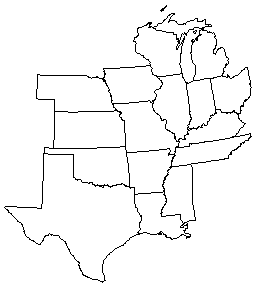
A dangerous storm system will move across the Plains, Midwest, Middle Mississippi Valley, and portions of the Ohio Valley Tuesday into Wednesday. Positive polarity will be widespread in H2O and nonpolar polarity NO3 associated with H2O within rainfal...
Read More