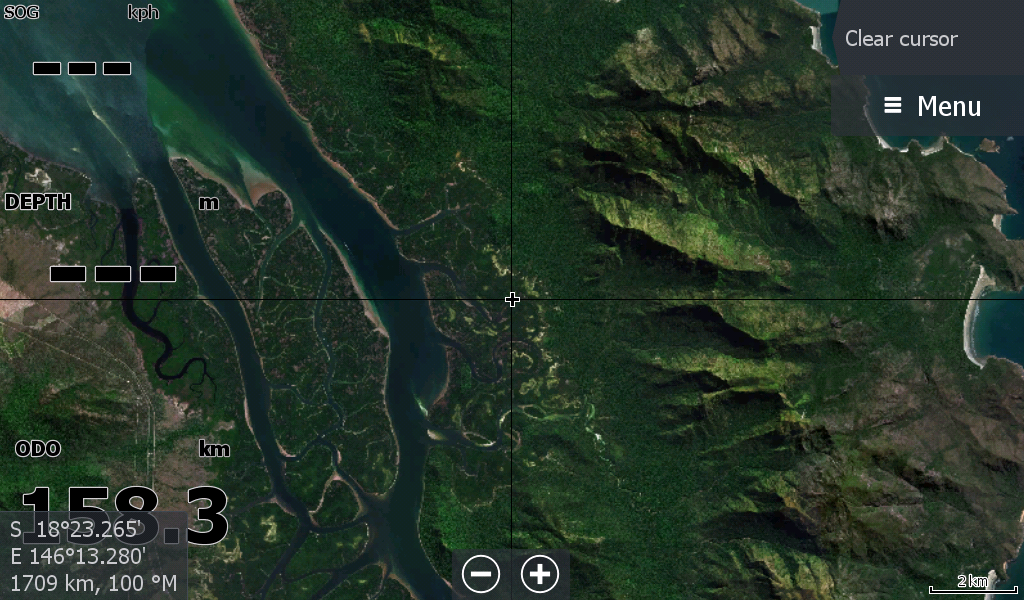
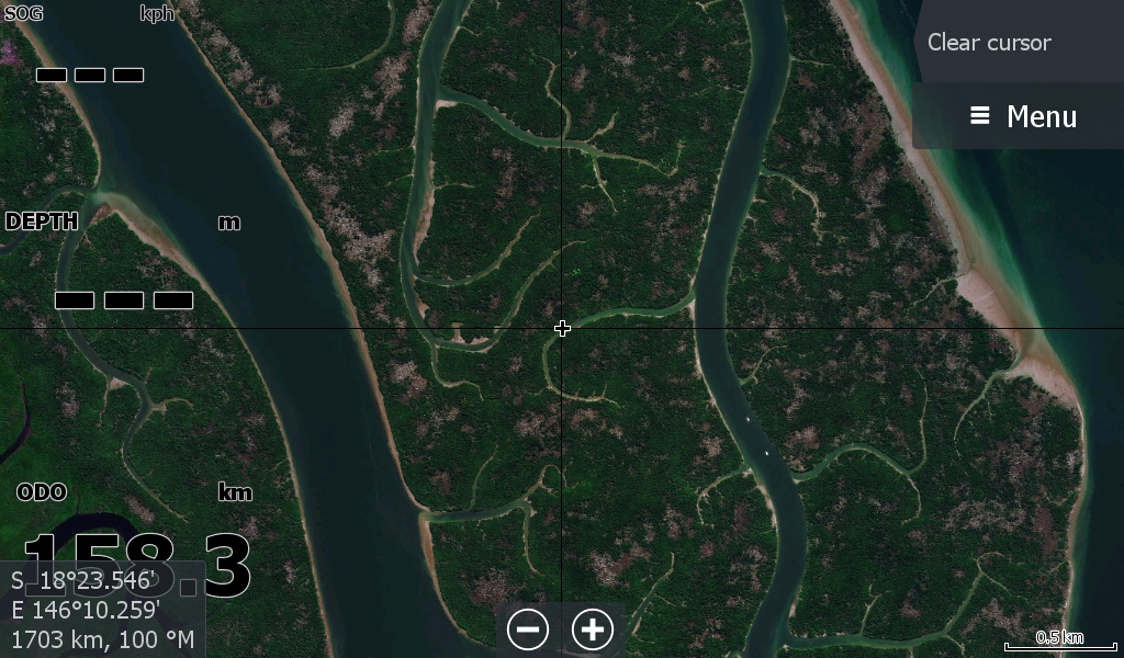
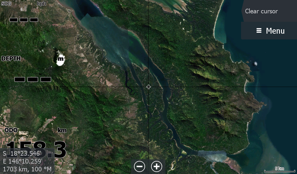
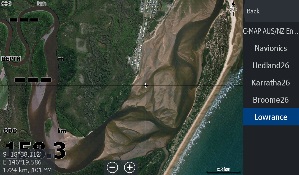
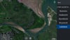
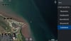
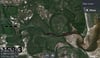
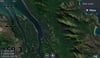
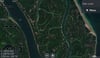
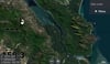
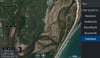
Hinchinbrook Region Qld Satellite Map
On Sale
A$19.00
A$19.00
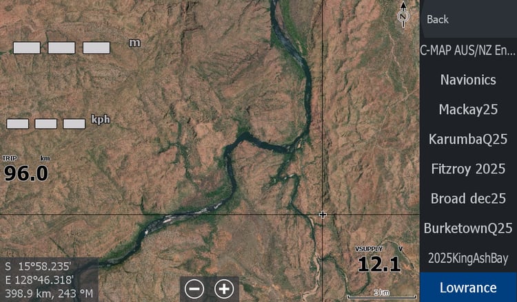
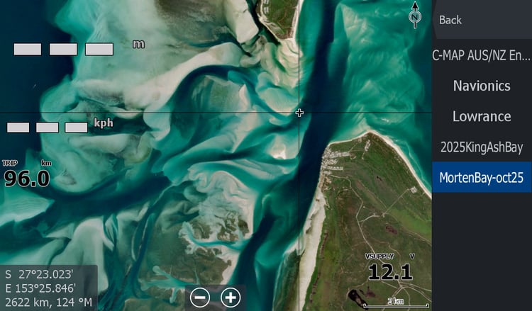
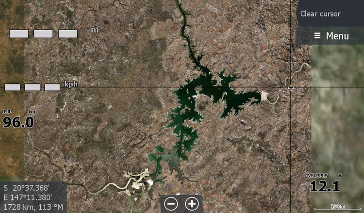
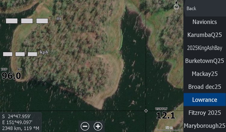
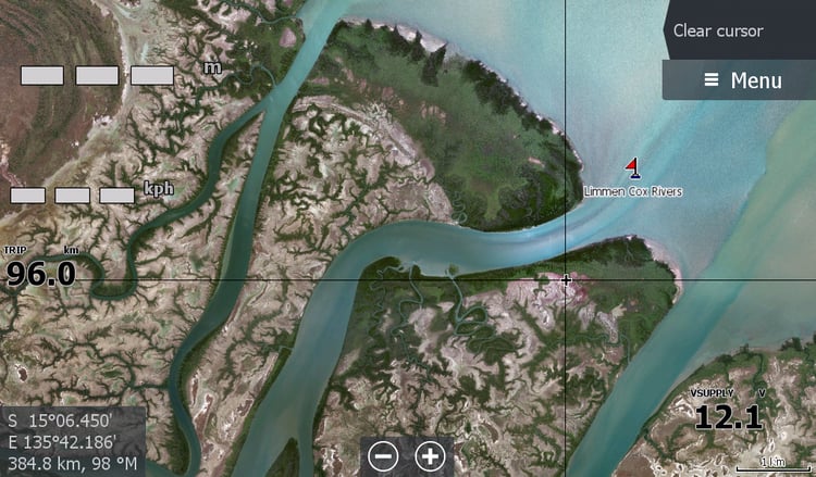
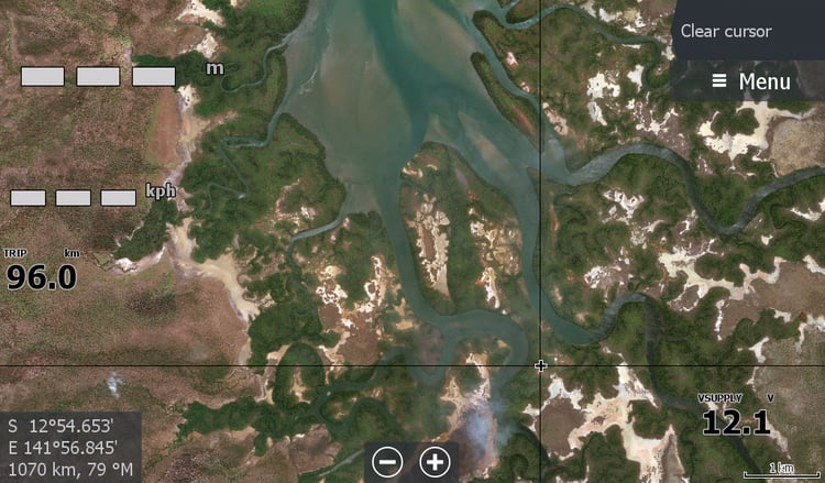
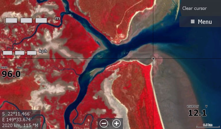
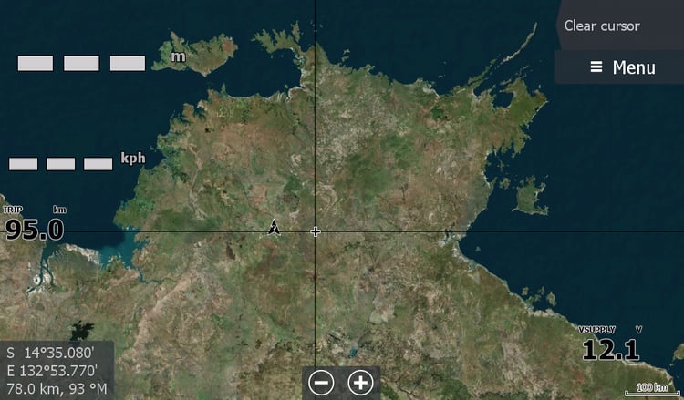
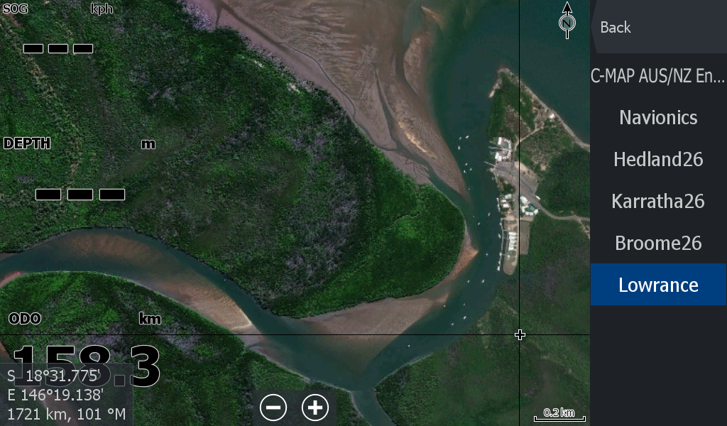
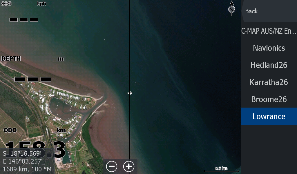
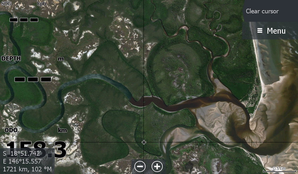
General Satellite Map for the Hinchinbrook region covering from The Johnstone River Innisfail , Hull Heads, Tully River, Murray River, Cardwell, Hinchinbrook Island & the Channel Islands, to Lucinda, Taylors Beach, Halifax Bay Wetlands / Insulator Creek. And all the wetland barra creeks in between.
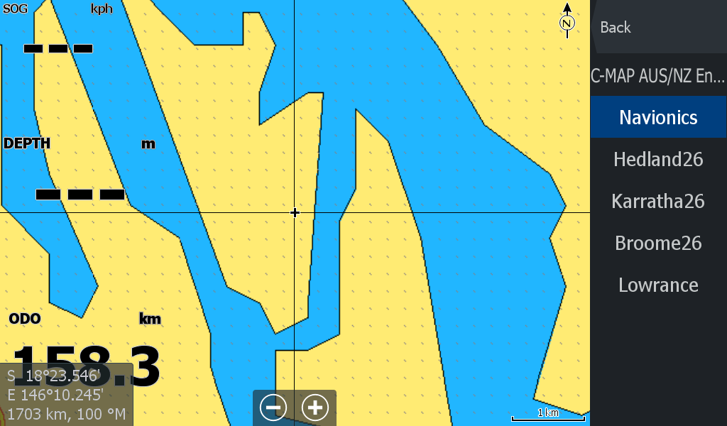
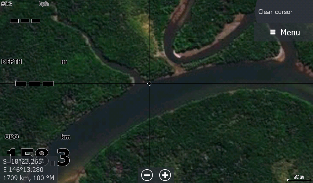
The Islands in the Vicinity are on the Map, Bedarra, Coombe, Goold , even Palm Island. But the real reason for this map is predominately for the creeks & rivers that are missed out by the big named Charts.( example below)
This map does not include the Lower Herbert River 'breakthrough' of 2025
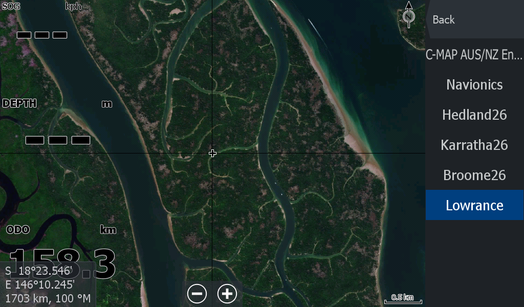
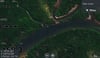
The 2 screenshots below are off a HDS7 Live Sounder of the same spot in Hinchinbrook Channel