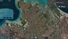
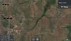
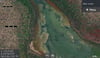
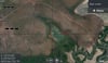
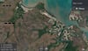
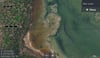
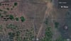
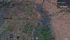
Koolpinyah Land Hunting map
A map for Hunters that have the Lowrance Chart Plotter mounted on the Quad , ATV or buggy
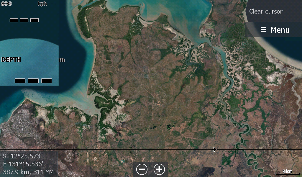
This Koolpinyah map covers North from Arnhem Highway / Humpty Doo to the Adelaide River ( Western Side) through to Gunn Point , Buffalo Creek. Map Covers nearly 2000 square Kms 50x40km
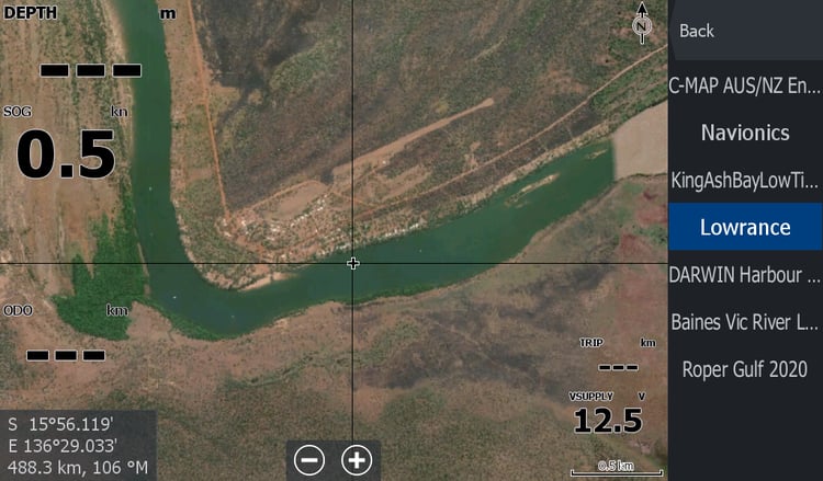
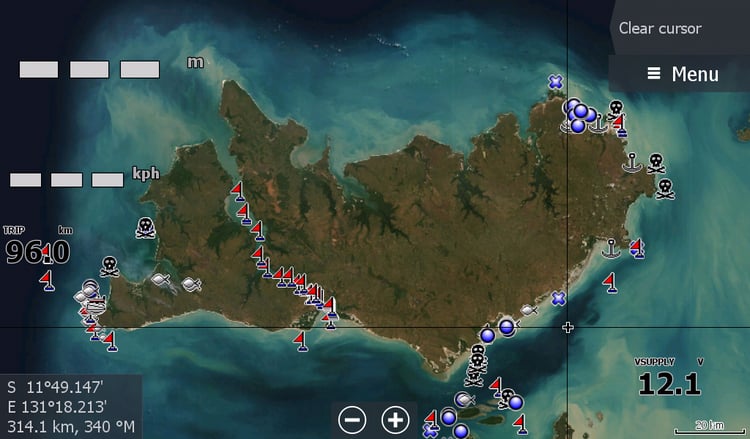
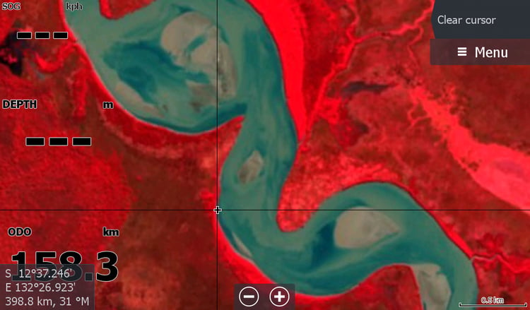
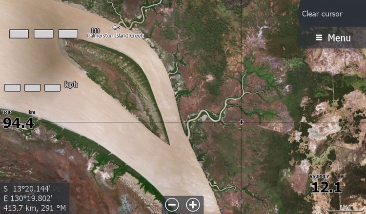
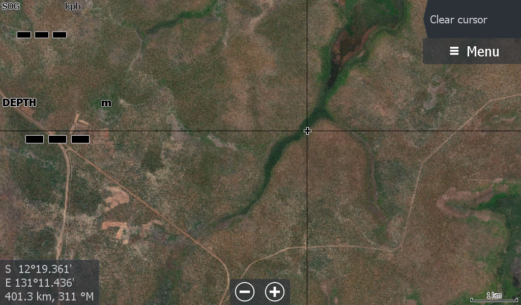
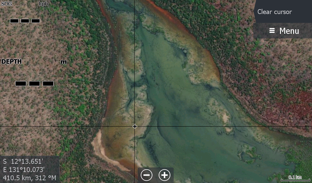
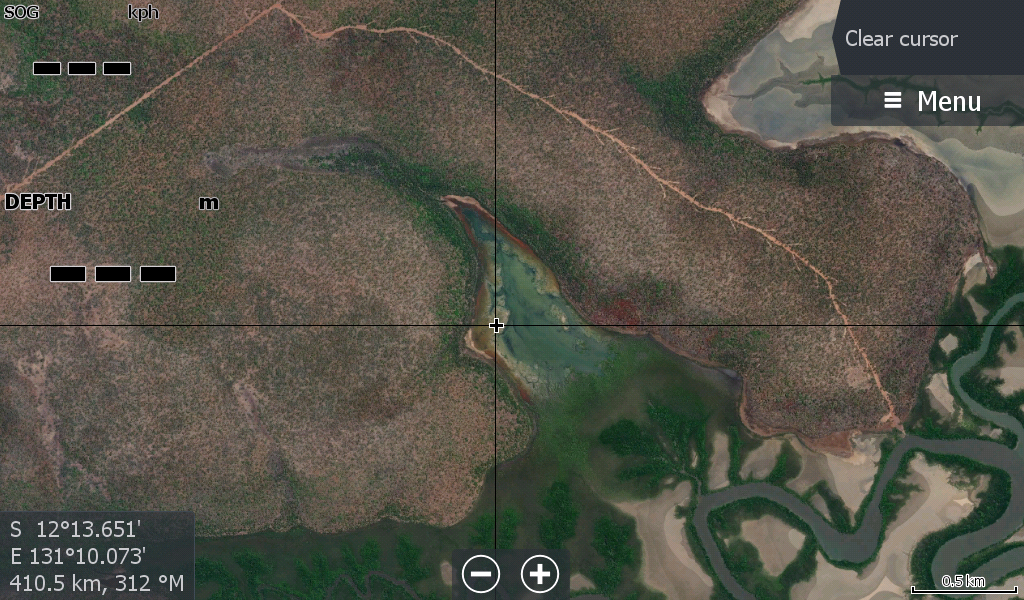
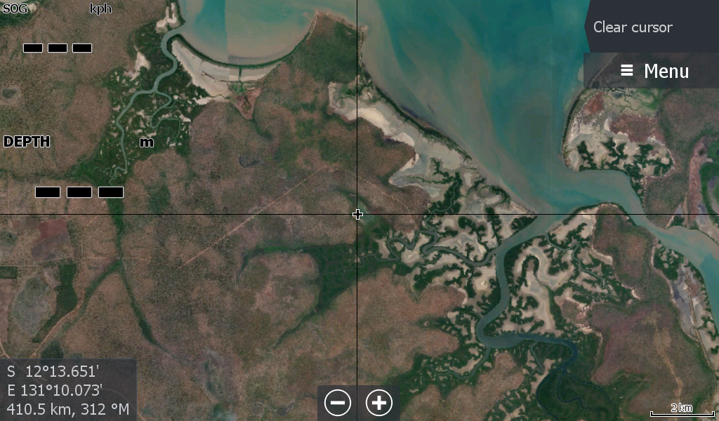
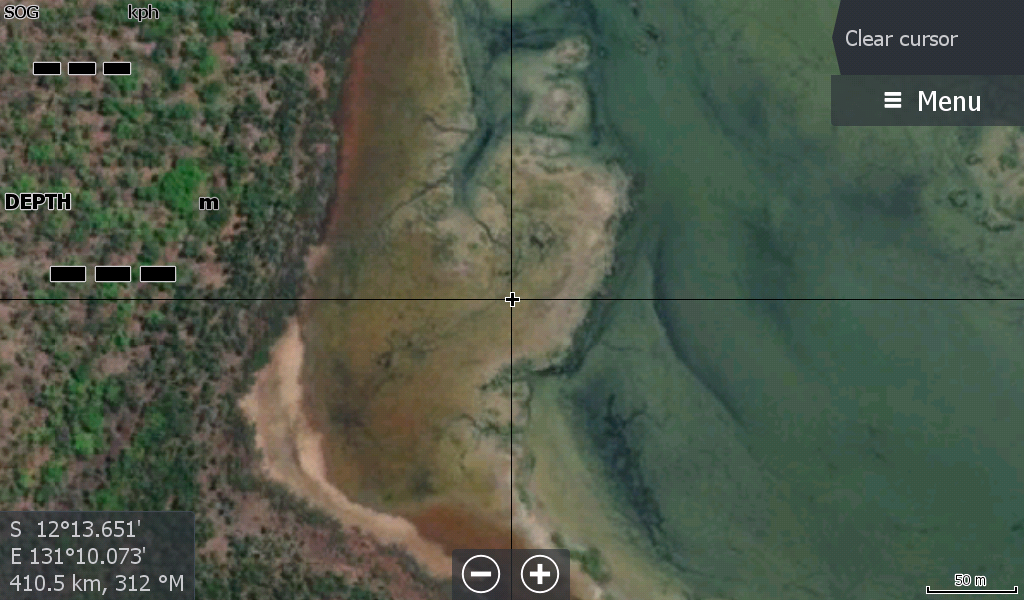
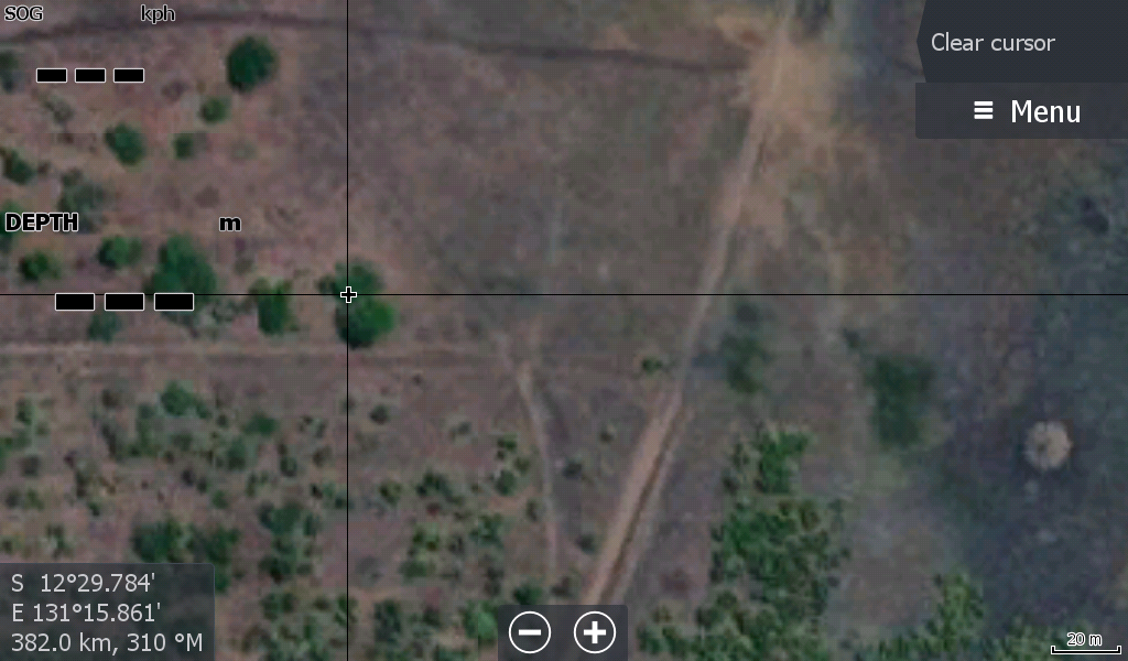
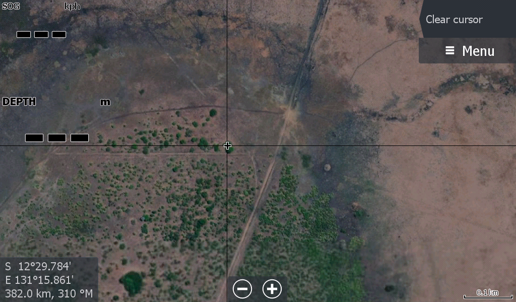
The map does not have a super zoom like Google Earth, but zoom enough to show you a few tracks / waterholes etc & get you home again. Judge it from the images attached.
The map does have a slightly better zoom than the average Fishing maps as the Lowrance processor on the quad is not attached to transducer trying to read depth & show location of fish etc and do all the other stuff it is meant for.
Whatever saves you getting your phone out of your pocket 30 times a hunt will be worth it.