

A 997 mb low will move from Kansas to Wisconsin on April 20 - 21, 2023 swinging a cool front/dry line across the Southern Plains, Mississippi River Valley, and Eastern Arkansas River Valley. Better chance of hail and wind with this system. Moder...
Read More
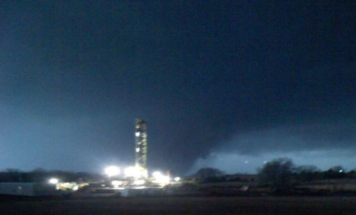
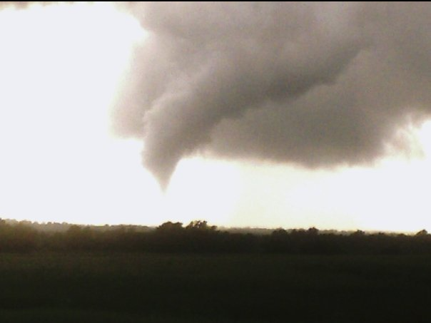
A 997 mb low will move from Kansas to Wisconsin on April 20 - 21, 2023 swinging a cool front/dry line across the Southern Plains, Mississippi River Valley, and Eastern Arkansas River Valley. Better chance of hail and wind with this system. Sligh...
Read More

Mesoscale Discussion 0560NWS Storm Prediction Center Norman OK0245 PM CDT Wed Apr 19 2023Areas affected...Far Southeast SD...Far Southwest MN...Far EasternNE...Western IA...Northeast KS...Northwest MOConcerning...Severe potential...Watch likely Valid...
Read More
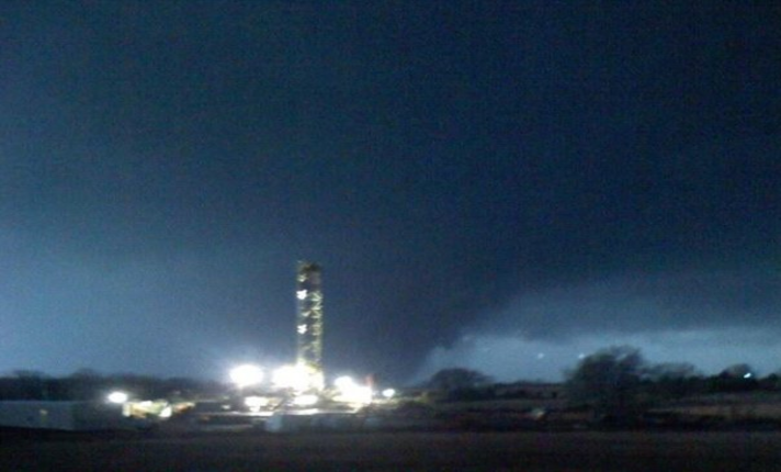
A 999 low is located in Southeast Nebraska on April 19, 2023, swinging a cool front/dry line across the central and southern plains. Hail and wind are likely today; a 40% probability of isolated tornadoes will all be possible with this system. The be...
Read More
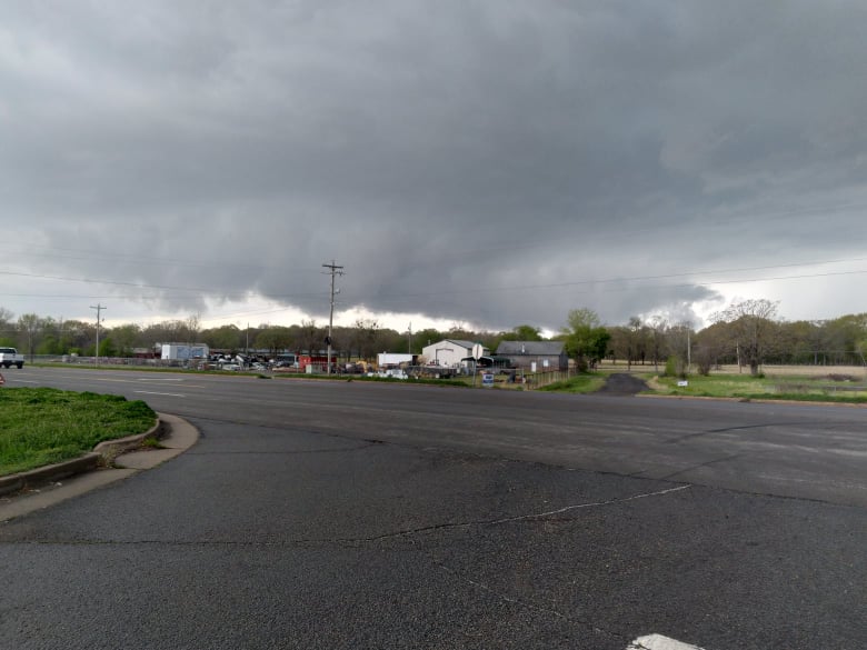
A 997 mb low will move from Kansas to Wisconsin on April 20 - 21, 2023 swinging a cool front/dry line across the Southern Plains, Mississippi River Valley, and Eastern Arkansas River Valley. Better chance of hail and wind with this system. Sligh...
Read More
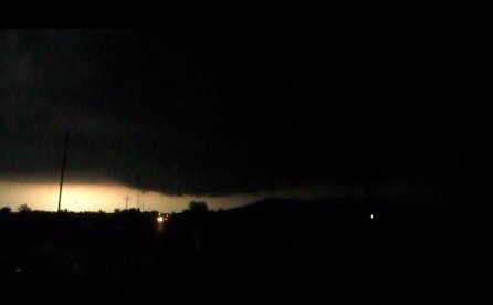
A strong low will move across Kansas and Nebraska on April 19, 2023, swinging a cool front/dry line across the central and southern plains. Hail and wind are likely today; a 10% probability of isolated tornadoes will all be possible with this system....
Read More

A strong low will move across Kansas and Nebraska on April 19, 2023, swinging a cool front/dry line across the central and southern plains. Hail, wind, and isolated tornadoes will all be slightly possible with this system. Slight Non-polar CH4 releas...
Read More
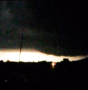
A 997 mb low will move from Kansas to Wisconsin on April 20 - 21, 2023 swinging a cool front/dry line across the Southern Plains, Mississippi River Valley, and Eastern Arkansas River Valley. Better chance of hail and wind with this system. Sligh...
Read More
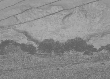
A 997 mb low will move from Kansas to Wisconsin on April 20 - 21, 2023 swinging a cool front/dry line across the Southern Plains, Mississippi River Valley, and Eastern Arkansas River Valley. Better chance of hail and wind with this system. Isolated t...
Read More
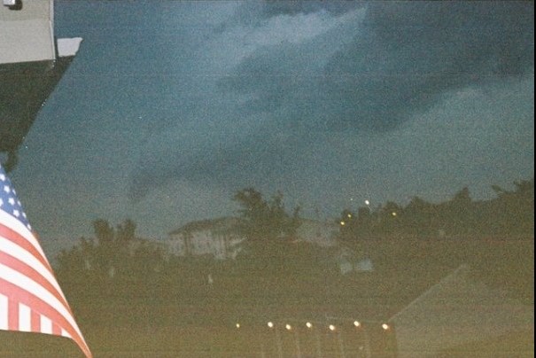
A strong low will move across Colorado into Kansas and Nebraska April 18 - 19, 2023 swinging a cool front/dry line across the central and southern plains. Hail, wind, and isolated tornadoes will all be slightly possible with this system. Slight Non-p...
Read More
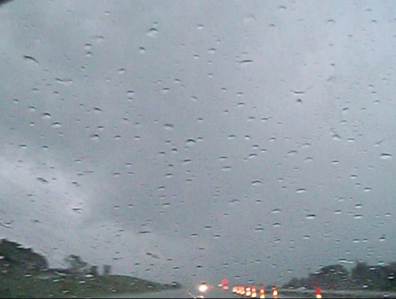
A strong low will move across Colorado into Kansas and Nebraska April 18 - 19, 2023 swinging a cool front/dry line across the central and southern plains. Hail, wind, and isolated tornadoes will all be slightly possible with this system. Low to sligh...
Read More
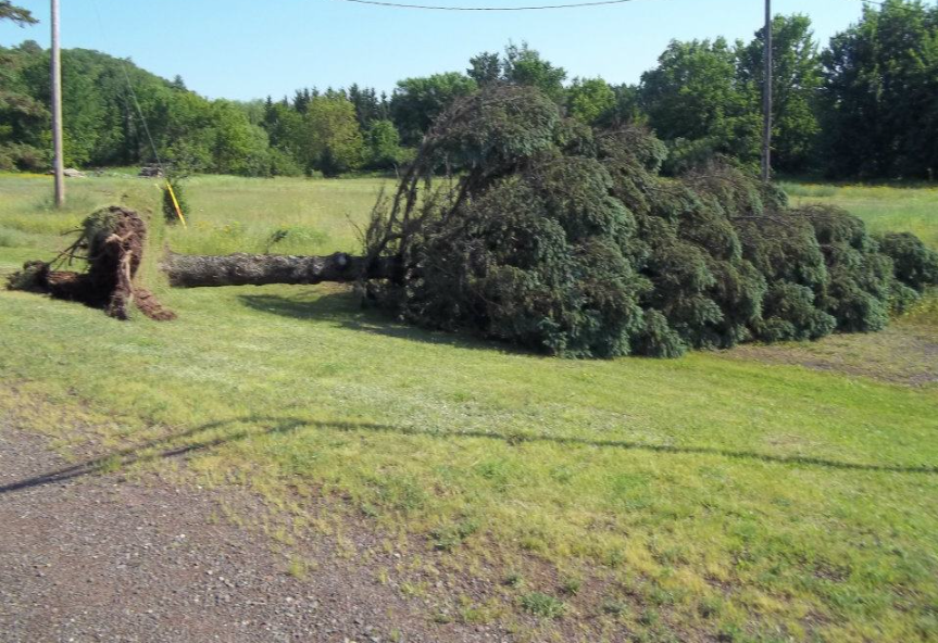
A 993 mb low will move across Iowa into Minnesota on April 20 - 21, 2023 swinging a cool front across the Mississippi River Valley and Eastern Arkansas River Valley. Better chance of hail and wind with this system. Isolated tornadoes (low chance) wil...
Read More
A 994 to 997 mb low will move across Colorado into Kansas April 18 - 19, 2023 swinging a cool front/dry line across the central and southern plains. Hail, wind, and isolated tornadoes will all be slightly possible with this system. Low to slight Non-...
Read More
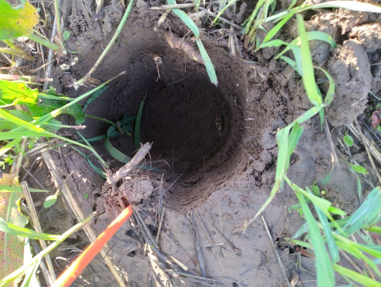
A 994 to 997 mb low will move across Colorado into Kansas April 18 - 19, 2023 swinging a cool front/dry line across the central and southern plains. Hail, wind, and isolated tornadoes will all be possible with this system. Slight Non-polar CH4 releas...
Read More
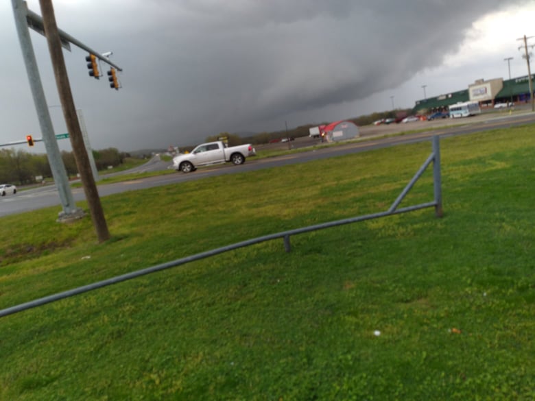
A 993 mb low will move across Iowa into Minnesota on April 20 - 21, 2023 swinging a cool front/dry line across the Mississippi River Valley and Eastern Arkansas River Valley. Hail, wind, and isolated tornadoes will all be possible with this system. S...
Read More