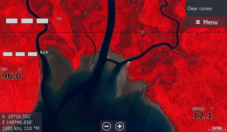
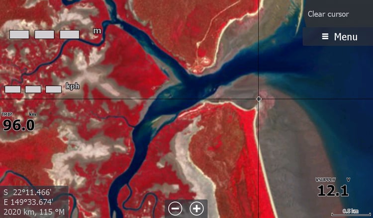
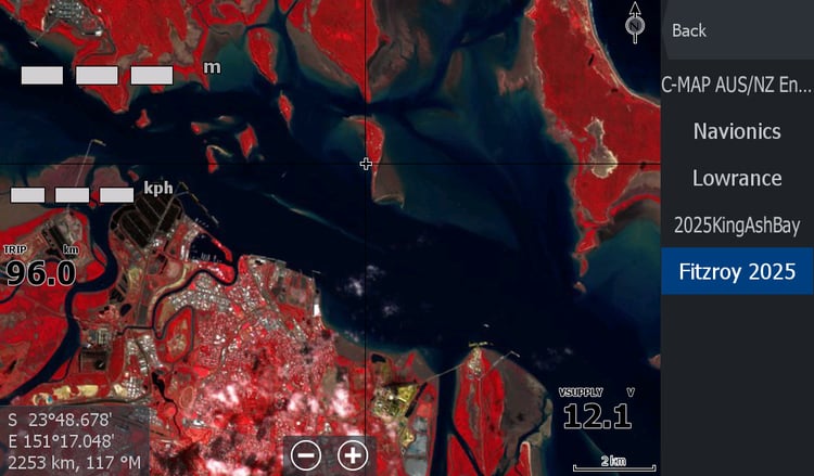
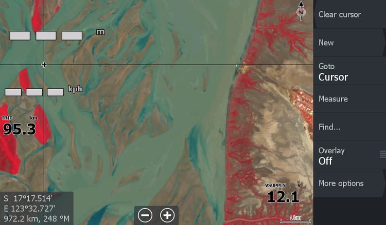
Low Tide Red Maps
These Maps are updated during the season if imagery is suitable. IE if the satellite gets an image at a low tide when there is no cloud & if I deem there has been enough movement in any sandbars.
The resolution of the low tide map is limited, but they pack a punch with information on what is below you.
For anyone who has ever hit sand at a creek mouth, you know their value.
Why Red? Because the blue water you see has been enhanced from the muddy water colour.