
If you're a teacher, homeschool parent, children's book author, or digital product creator, you're always looking for new ways to make learning exciting.
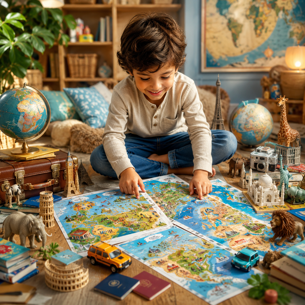
Geography can sometimes feel overwhelming for young children. Traditional maps are full of details that don't always capture a child's attention. But what if you could turn every country into a colorful road trip adventure?
That's exactly what Create Fun Road Trip Maps for Kids was designed to do.
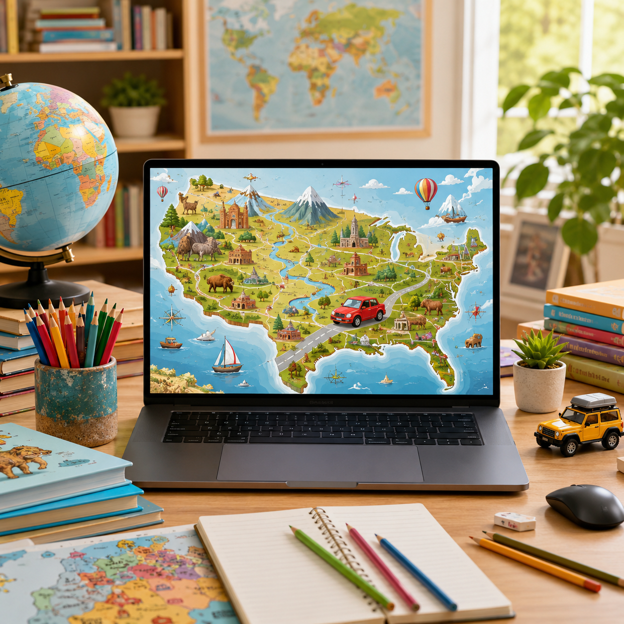
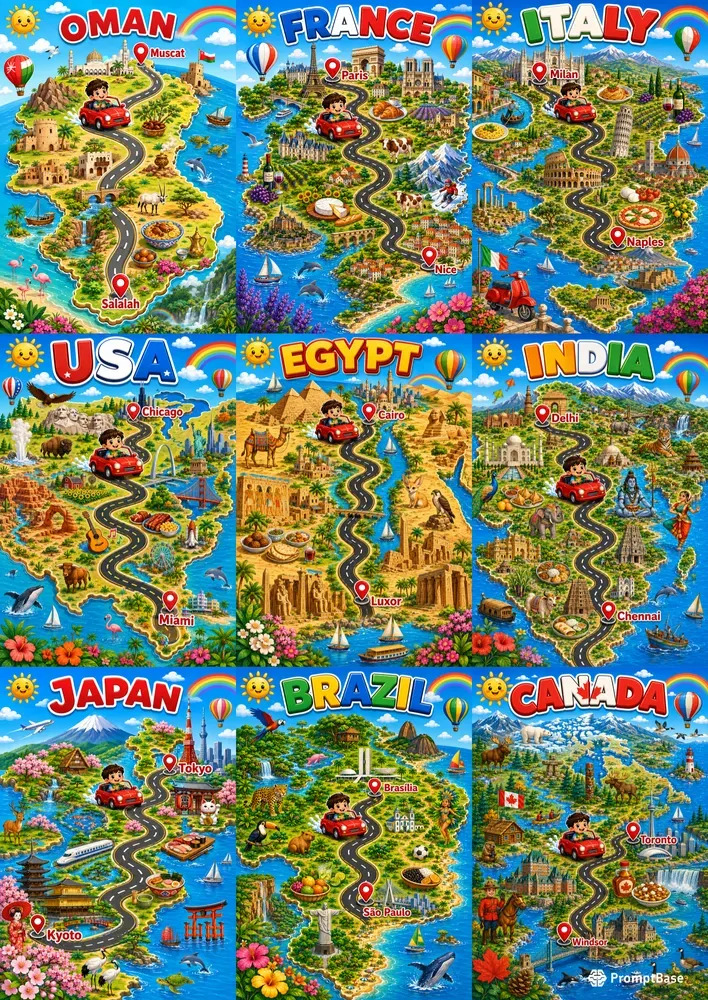
Instead of creating a simple map, this AI prompt generates a vibrant educational illustration where a happy child drives a cute red car across a country, visiting famous landmarks, natural wonders, wildlife, local foods, and cultural attractions along the way.
The result is a fun learning experience that children actually enjoy exploring.
What Is Create Fun Road Trip Maps for Kids?
Create Fun Road Trip Maps for Kids is a professionally crafted AI prompt that helps you generate premium educational road trip maps in just minutes.
Simply enter:
- The country
- The starting city
- The destination city
The AI creates a colorful child-friendly map featuring:
- A winding road connecting both cities
- Famous landmarks
- Cultural symbols
- Wildlife
- Traditional architecture
- Mountains, rivers, forests, and beaches
- Bright cartoon illustrations
- A clean educational layout
Every design feels unique because each country has its own landmarks, landscapes, and cultural identity.
Why Kids Love Road Trip Maps
Children learn best when education feels like play.
Instead of memorizing locations, they follow an exciting journey from one city to another.
The cheerful car, colorful scenery, and friendly illustrations encourage curiosity while helping children recognize countries, cities, and famous places.
It's visual storytelling combined with geography.
Perfect for Teachers
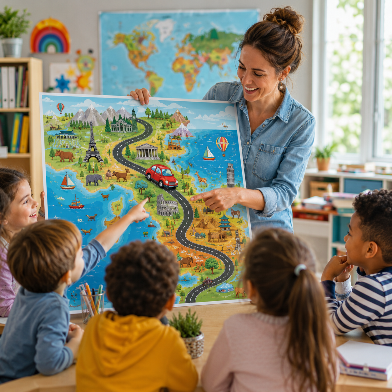
Teachers can quickly create engaging classroom materials without spending hours designing graphics.
Use these maps for:
- Geography lessons
- Country studies
- Classroom posters
- Bulletin boards
- Learning centers
- Group discussions
- Travel-themed classroom activities
Every map becomes an engaging conversation starter.
Perfect for Homeschool Families
Homeschool parents are always searching for creative educational resources.
These maps can become part of:
- World geography units
- Country studies
- Social studies lessons
- Travel-themed learning
- Printable activity packs
Children stay engaged because every lesson feels like a new adventure.
Perfect for Children's Book Creators
If you publish children's books, these illustrations can inspire:
- Travel books
- Geography books
- Country guides
- Adventure stories
- Educational workbooks
- Activity books
One prompt can help generate artwork ideas for an entire series.
Great for Digital Product Sellers
If you sell digital products on marketplaces, this prompt opens countless opportunities.
Create products such as:
- Printable posters
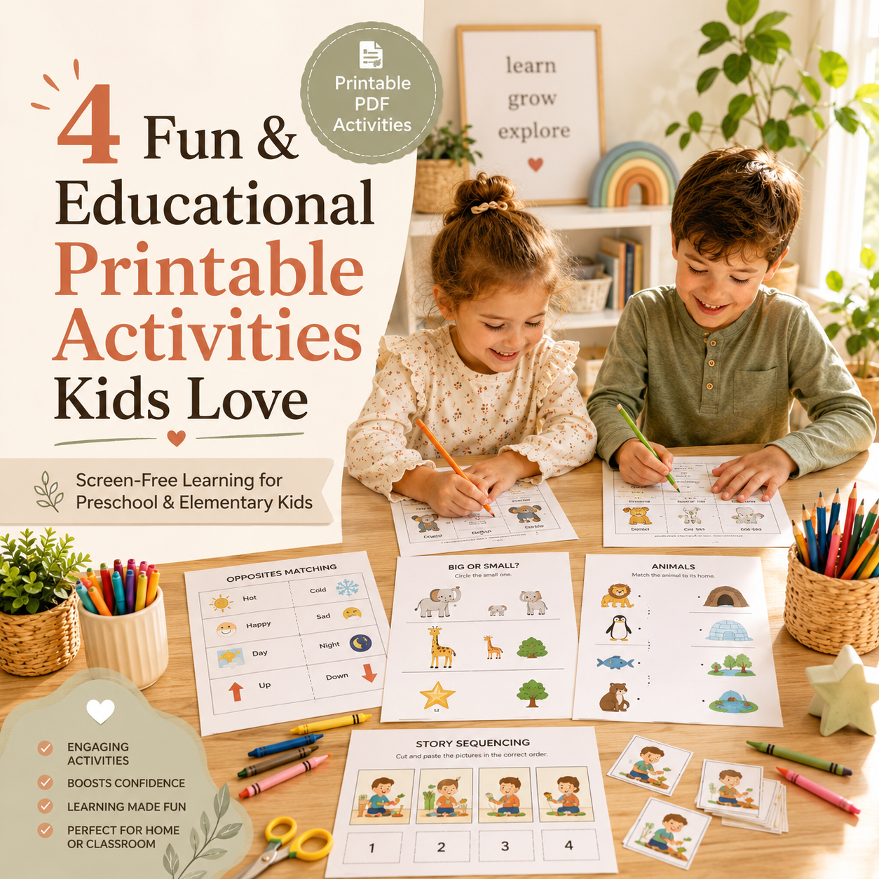
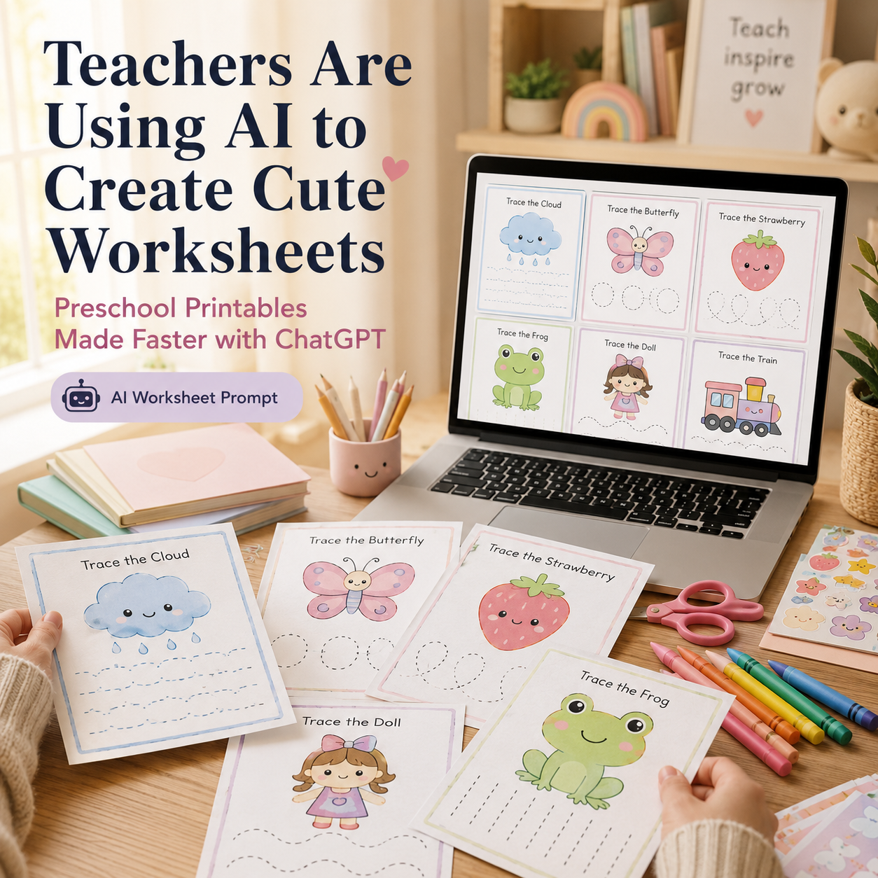
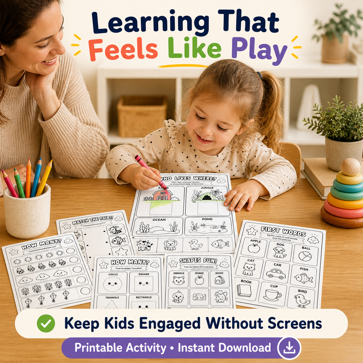
- Educational worksheets
- Classroom decor
- Geography activity books
- Homeschool resources
- Kids' travel journals
- Country learning packs
- Interactive classroom activities
Because every country creates a different result, you can build an entire collection around one idea.

Works for Nearly Every Country
One of the biggest advantages of this prompt is its flexibility.
Create road trip adventures across:
- United States
- Canada
- Australia
- Japan
- Italy
- France
- Spain
- Brazil
- Egypt
- Oman
- Saudi Arabia
- Morocco
- Germany
- India
- South Africa
Every country automatically produces a fresh visual experience filled with recognizable landmarks and local culture.
Save Hours of Prompt Writing
Creating detailed AI prompts from scratch often requires dozens of revisions.
This prompt has already been carefully structured to produce:
- Balanced compositions
- Child-friendly illustrations
- Educational layouts
- Bright vibrant colors
- Professional-quality artwork
- Consistent results
Instead of spending time refining prompts, you can start creating immediately.
Creative Ways to Use Your Maps
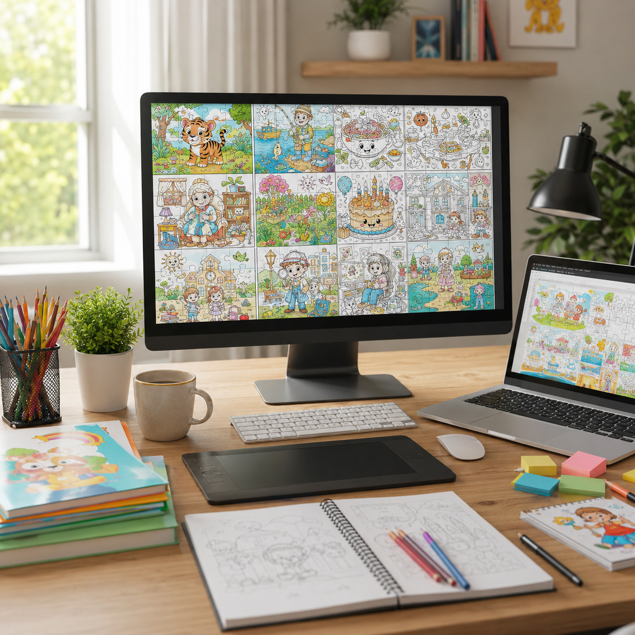
Once your illustration is generated, you can transform it into many different educational products.
For example:
- Coloring pages
- Classroom wall art
- Country fact sheets
- Geography worksheets
- Matching games
- Printable puzzles
- Travel journals
- Flashcards
- Learning folders
- Interactive classroom activities
A single illustration can become multiple products for different audiences.
Frequently Asked Questions
Can beginners use this prompt?
Yes. Simply replace the country name and city names. No prompt engineering experience is required.
Which AI image generators work best?
The prompt is designed for modern AI image generators that produce detailed illustrations from natural language prompts.
Can I create multiple countries?
Absolutely. Simply swap the country and cities to generate a completely new educational road trip.
Is it suitable for commercial use?
Many creators use prompts like this to generate artwork for books, educational resources, printables, and digital products. Always review the licensing terms of the AI image generator you use before selling AI-generated content.

Final Thoughts
Educational content doesn't have to be boring.
With Create Fun Road Trip Maps for Kids, you can transform geography into an exciting adventure that sparks children's curiosity while saving hours of design work.
Whether you're building printable products, creating classroom resources, publishing children's books, or expanding your digital product business, this prompt makes it easy to produce engaging, colorful educational maps in minutes.
Ready to create your first adventure?
👉 Get the prompt here: https://promptbase.com/prompt/create-fun-road-trip-maps-for-kids-2?via=samurai11
Start turning countries into unforgettable road trips that children will love to explore.
Comments ()