


Anson Bay NT Low Tide 25
On Sale
A$15.00
A$15.00
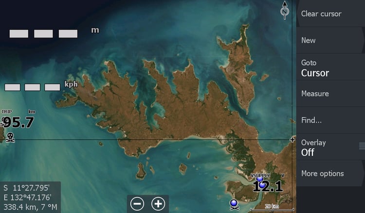
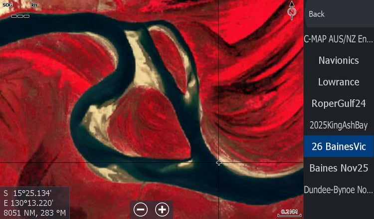
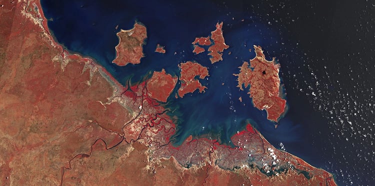
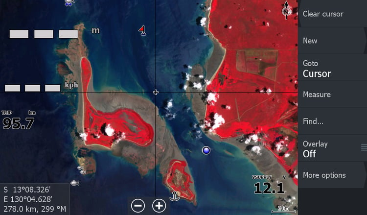
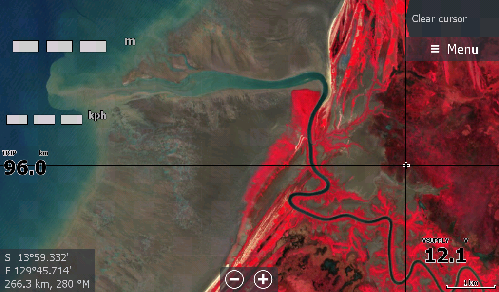
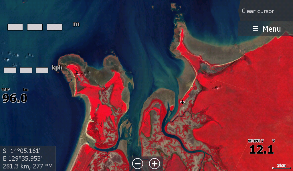
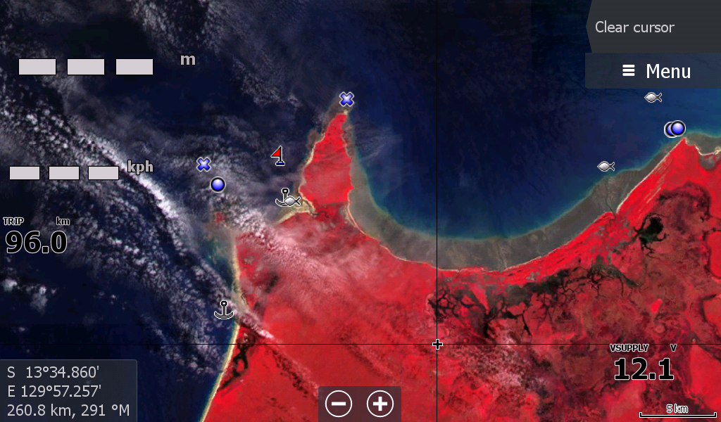
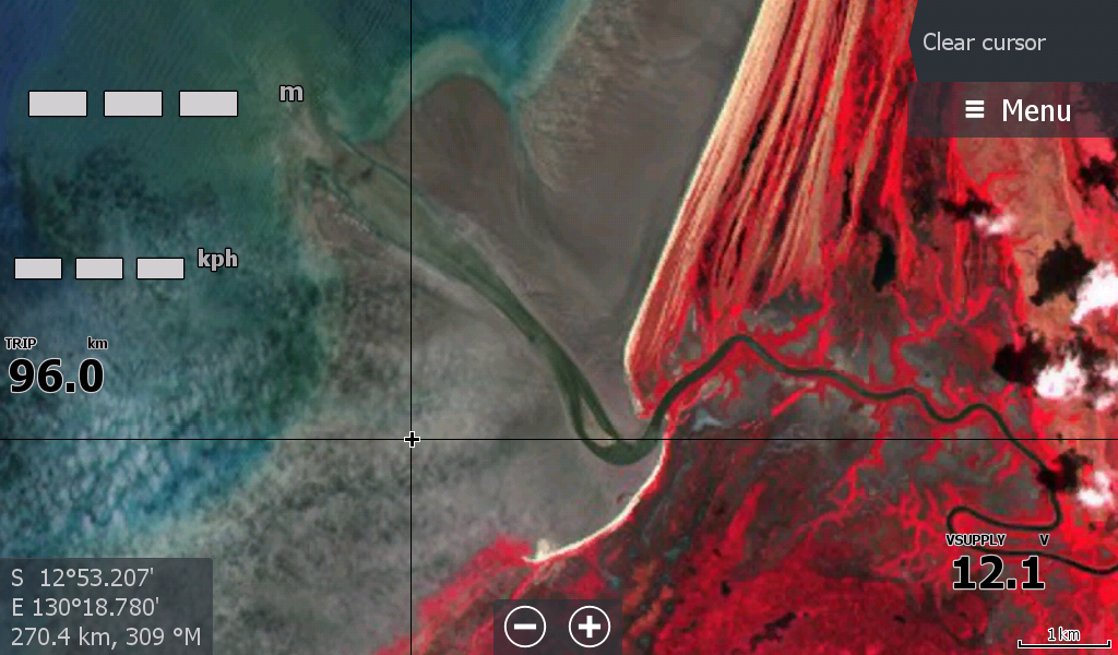
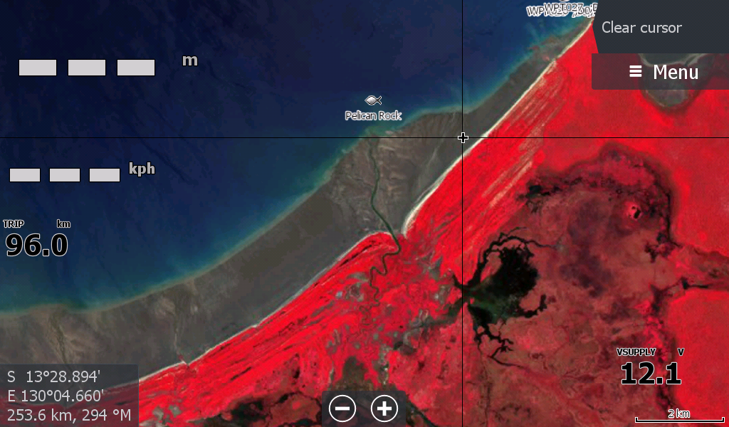
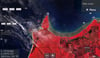
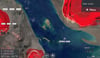
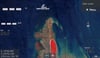
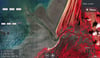
Anson Bay NT - Covering Finnis River Mouth to Port Keats. Includes Channel Point, Daly mouth Moyle & Little Moyle Rivers. There is cloud cover on Cape Ford & Cape Scott ( West of the Daly Mouth) that has substantial rock bars and normally that would mean this map would not of been made, however after seeing the sandbanks off of Channel Point & searching several years of satellite footage to not find them so prominent again, it was decided that this was the map.
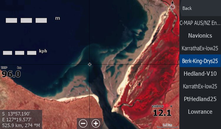
The standard C-Map has the dangers listed for the area.
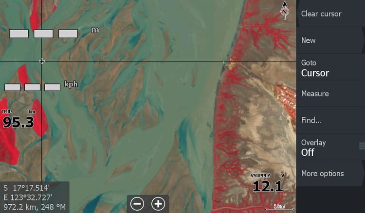
This map also has cloud coverage down the mouth of the Daly River, so isn't a means to assist you in that area.