Introductory offer from $15 each map
New maps are from $17.00.
These satellite maps only work on your Lowrance sounder.
You can add as many maps as you like to your micro sd card whenever you like. Please view "installation" tab above for tutorials & instructions. Please also join our facebook page for tips & future map updates.
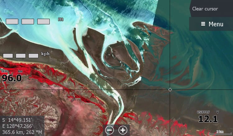
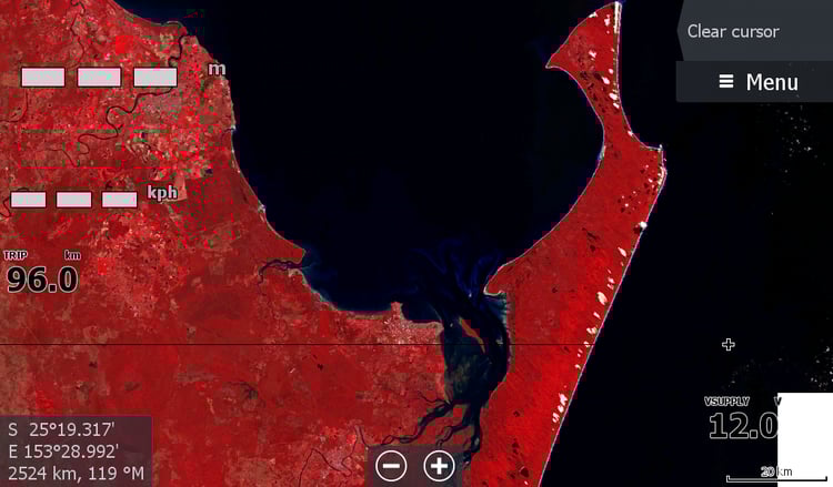
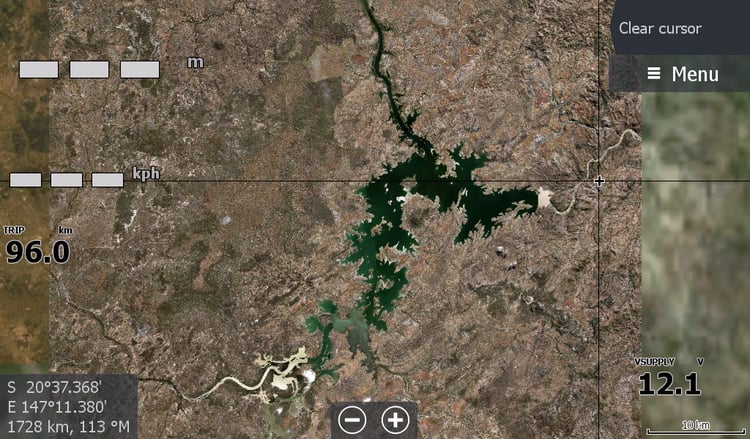
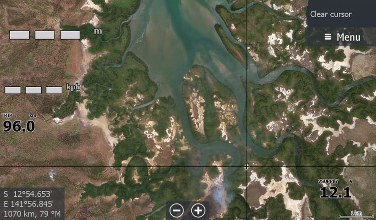
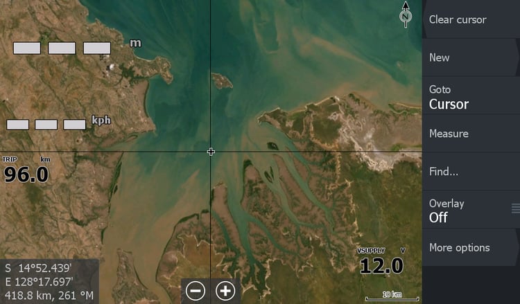
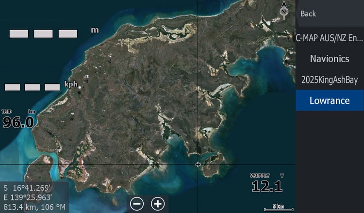
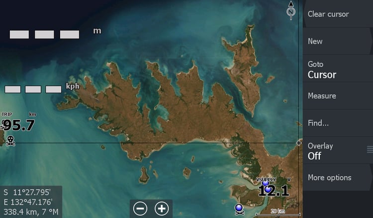
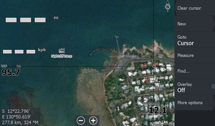
The general Satellite maps are so you can see what remote river or creek you are up as the waters usually uncharted by the big names marine chart makers. Any sandbars seen may have shifted, so do not rely on the map for sandbars.
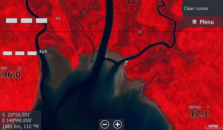
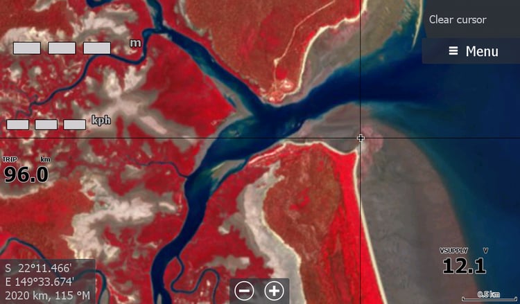
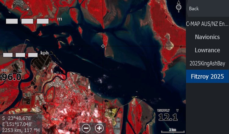
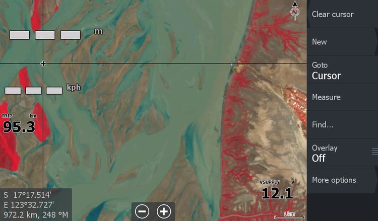
The hard to get Red Low tide maps are more recent & more current for sandbar location but lower quality resolution. Hopefully they have not changed too much during big wet seasons & we are always checking them for changes until we can update with suitable current imagery.
Why "red"? because it contrasts the muddy water from the muddy sandbar.
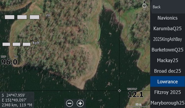
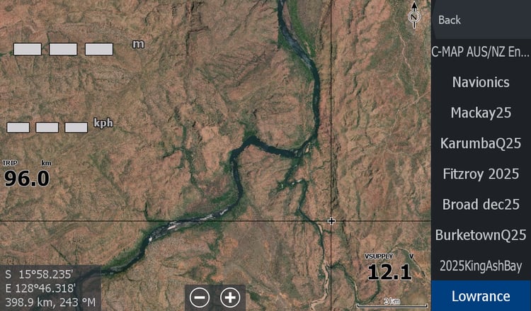
Each map below has another set of snapshot images from a HDS Live Sounder showing what you are getting.
For those with the big name brand map cards," just try" one general satellite map download of your favourite river system, I know you will be surprised. You can add more maps later.
Garmin & Humminbird users, I am sorry we cannot assist with maps for you. Different machine formats and locked in to subscription based maps.